
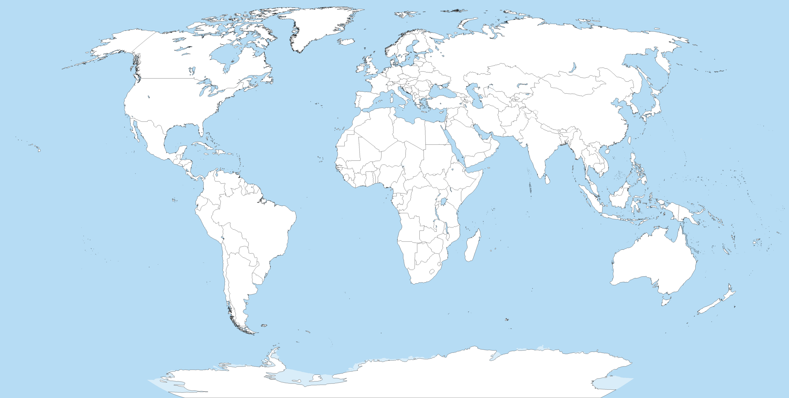
Bestand:A large blank world map with oceans marked in blue.PNG

Grootte van deze voorvertoning: 800 × 461 pixels. Andere resoluties: 320 × 184 pixels | 640 × 369 pixels | 1.024 × 590 pixels | 1.280 × 737 pixels | 2.560 × 1.475 pixels | 4.500 × 2.592 pixels.
Oorspronkelijk bestand (4.500 × 2.592 pixels, bestandsgrootte: 233 kB, MIME-type: image/png)
| Dit is een bestand van Wikimedia Commons. Onderstaande beschrijving komt van de beschrijving van het bestand daar. |
Beschrijving
Blank political world map derived from svg map
. It uses the Robinson projection.

|
Bestand:A large blank world map with oceans marked in blue.svg is een vectorversie van dit bestand. Deze dient gebruikt te worden in plaats van deze rasterafbeelding.
File:A large blank world map with oceans marked in blue.PNG → File:A large blank world map with oceans marked in blue.svg
Zie Help:SVG voor meer informatie. |
 |
Licentie
Ik, de auteursrechthebbende van dit werk, maak het hierbij onder de volgende licenties beschikbaar:

|
Toestemming wordt verleend voor het kopiëren, verspreiden en/of wijzigen van dit document onder de voorwaarden van de GNU-licentie voor vrije documentatie, versie 1.2 of enige latere versie als gepubliceerd door de Free Software Foundation; zonder Invariant Sections, zonder Front-Cover Texts, en zonder Back-Cover Texts. Een kopie van de licentie is opgenomen in de sectie GNU-licentie voor vrije documentatie. |
| Dit bestand is gelicenseerd onder de Creative Commons-licentie Naamsvermelding-Gelijk delen 3.0 Unported | ||
| ||
| Deze licentietag is toegevoegd aan dit bestand in verband met de GFDL licentie-update. |
Dit bestand is gelicenseerd onder de Creative Commons-licenties Naamsvermelding-Gelijk delen 2.5 Algemeen, 2.0 Algemeen en 1.0 Algemeen.
- De gebruiker mag:
- Delen – het werk kopiëren, verspreiden en doorgeven
- Remixen – afgeleide werken maken
- Onder de volgende voorwaarden:
- naamsvermelding – U moet op een gepaste manier aan naamsvermelding doen, een link naar de licentie geven, en aangeven of er wijzigingen in het werk zijn aangebracht. U mag dit op elke redelijke manier doen, maar niet zodanig dat de indruk wordt gewekt dat de licentiegever instemt met uw werk of uw gebruik van zijn werk.
- Gelijk delen – Als u het werk heeft geremixt, veranderd, of erop heeft voortgebouwd, moet u het gewijzigde materiaal verspreiden onder dezelfde licentie als het oorspronkelijke werk, of een daarmee compatibele licentie.
U mag zelf één van de licenties kiezen.
Derivative works
Afgeleide werken van dit bestand:
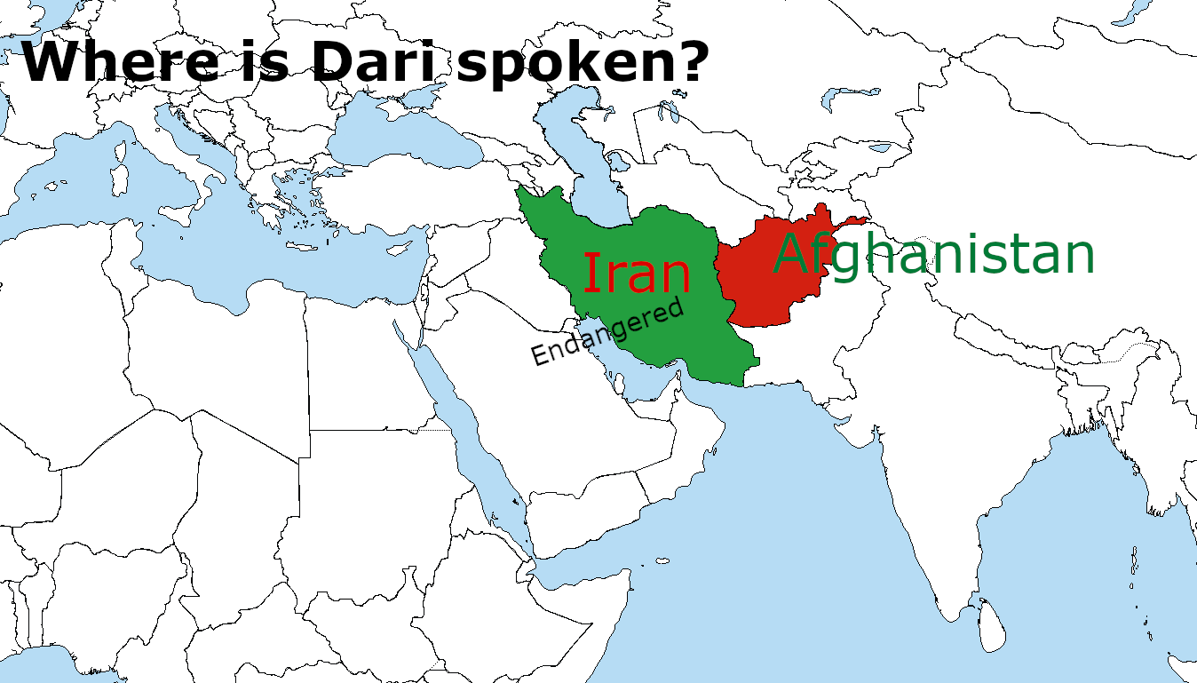
Afgeleide werken van dit bestand: Where is Dari Spoken? WhereisDariSpoken_MantraLingua.png
Bestandsgeschiedenis
Klik op een datum/tijd om het bestand te zien zoals het destijds was.
| Datum/tijd | Miniatuur | Afmetingen | Gebruiker | Opmerking | |
|---|---|---|---|---|---|
| huidige versie | 3 jun 2023 20:40 | | 4.500 × 2.592 (233 kB) | DownwardSpiral1000 | The U.N. shows Donbass and Crimea as part of Ukraine, stop editing the map |
| 19 mei 2023 21:34 |  | 4.500 × 2.583 (189 kB) | Yann | Reverted to version as of 16:49, 17 May 2023 (UTC) | |
| 19 mei 2023 03:41 |  | 4.500 × 2.592 (233 kB) | PedroDuqueSantiago | Reverted to version as of 15:48, 14 May 2023 (UTC) | |
| 17 mei 2023 18:49 |  | 4.500 × 2.583 (189 kB) | JhonGame1 | Reverted to version as of 06:06, 13 May 2023 (UTC) | |
| 14 mei 2023 17:48 |  | 4.500 × 2.592 (233 kB) | Eurohunter | Reverted to version as of 11:53, 13 April 2023 (UTC) incorrect | |
| 13 mei 2023 08:06 |  | 4.500 × 2.583 (189 kB) | JhonGame1 | kosovo | |
| 12 mei 2023 18:08 |  | 4.500 × 2.583 (189 kB) | JhonGame1 | new borders | |
| 13 apr 2023 13:53 |  | 4.500 × 2.592 (233 kB) | MixoMiso27 | Reverted to version as of 10:11, 30 March 2014 (UTC) | |
| 11 apr 2023 00:16 |  | 4.500 × 2.583 (300 kB) | Forelie | Reverted to version as of 19:53, 23 March 2018 (UTC) | |
| 6 jun 2018 19:52 |  | 4.500 × 2.592 (280 kB) | Cbrittain10 | Reverted to last version derived from the SVG. Please make corrections to the vector file before replacing the derived PNG. |
Bestandsgebruik
Geen enkele pagina gebruikt dit bestand.
Globaal bestandsgebruik
De volgende andere wiki's gebruiken dit bestand:
- Gebruikt op en.wikipedia.org
- Gebruikt op it.wikibooks.org
- Gebruikt op pt.wikipedia.org