
Bestand:Ilhéu do Farol location map.svg

Afmetingen van deze voorvertoning van het type PNG van dit SVG-bestand: 698 × 599 pixels Andere resoluties: 280 × 240 pixels | 559 × 480 pixels | 895 × 768 pixels | 1.193 × 1.024 pixels | 2.386 × 2.048 pixels | 1.590 × 1.365 pixels.
Oorspronkelijk bestand (SVG-bestand, nominaal 1.590 × 1.365 pixels, bestandsgrootte: 74 kB)
| Dit is een bestand van Wikimedia Commons. Onderstaande beschrijving komt van de beschrijving van het bestand daar. |
Beschrijving
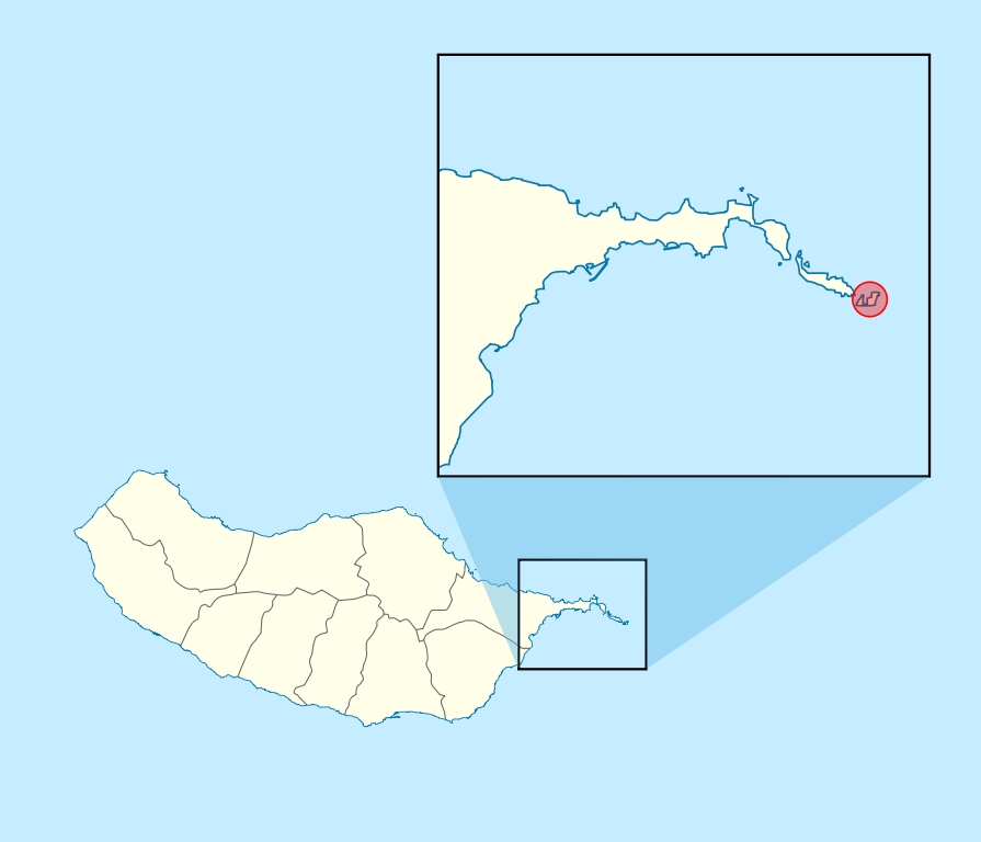
| Beschrijving | Ilhéu_do_Farol_location_map | ||||||||||||
| Datum | |||||||||||||
| Bron | Eigen werk | ||||||||||||
| Auteur | Willtron | ||||||||||||
| Toestemming (Hergebruik van dit bestand) |
|
Bestandsgeschiedenis
Klik op een datum/tijd om het bestand te zien zoals het destijds was.
| Datum/tijd | Miniatuur | Afmetingen | Gebruiker | Opmerking | |
|---|---|---|---|---|---|
| huidige versie | 23 jun 2011 00:25 | | 1.590 × 1.365 (74 kB) | Willtron | == {{int:filedesc}} == {{Information |Description=Ilhéu_do_Farol_location_map |Source={{Own}} |Date=2009-12-19 |Author={{U|Willtron}} |Permission={{OpenStreetMap}} |other_versions= }} Category:Ponta de São Lourenço Category:Maps of Madeira |
Bestandsgebruik
Dit bestand wordt op de volgende pagina gebruikt:
Globaal bestandsgebruik
De volgende andere wiki's gebruiken dit bestand:
- Gebruikt op an.wikipedia.org
- Gebruikt op de.wikipedia.org
- Gebruikt op en.wikipedia.org
- Gebruikt op pt.wikipedia.org