
Bestand:Paris city Landsat.png
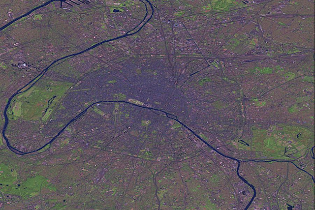
Grootte van deze voorvertoning: 800 × 534 pixels. Andere resoluties: 320 × 213 pixels | 640 × 427 pixels | 901 × 601 pixels.
Oorspronkelijk bestand (901 × 601 pixels, bestandsgrootte: 1,03 MB, MIME-type: image/png)
| Dit is een bestand van Wikimedia Commons. Onderstaande beschrijving komt van de beschrijving van het bestand daar. |
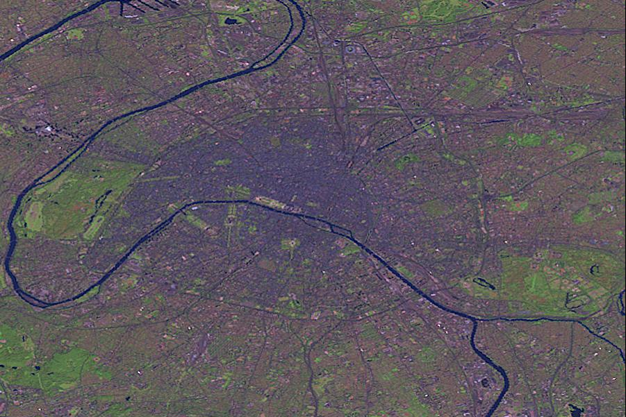
| Beschrijving | Paris by Landsat. | |||
| Bron |
This image was generated by the NGA Raster Roam application, at coordinates 48°51'39"N 2°20'43"E.
|
|||
| Auteur | Landsat |

Bestandsgeschiedenis
Klik op een datum/tijd om het bestand te zien zoals het destijds was.
| Datum/tijd | Miniatuur | Afmetingen | Gebruiker | Opmerking | |
|---|---|---|---|---|---|
| huidige versie | 26 okt 2005 01:49 | | 901 × 601 (1,03 MB) | David.Monniaux | Paris by Landsat (false colours) {{NGA Raster Roam|latitude=48°51'39"N|longitude=2°20'43"E}} |
Bestandsgebruik
Geen enkele pagina gebruikt dit bestand.
Globaal bestandsgebruik
De volgende andere wiki's gebruiken dit bestand:
- Gebruikt op ast.wikipedia.org
- Gebruikt op de.wikipedia.org
- Gebruikt op es.wikipedia.org
- Gebruikt op lb.wikipedia.org
- Gebruikt op no.wikipedia.org