
Bestand:Rottnest aerial photo 2.jpg

Grootte van deze voorvertoning: 800 × 600 pixels. Andere resoluties: 320 × 240 pixels | 640 × 480 pixels | 1.024 × 768 pixels | 1.280 × 960 pixels | 2.560 × 1.920 pixels.
Oorspronkelijk bestand (2.560 × 1.920 pixels, bestandsgrootte: 5,29 MB, MIME-type: image/jpeg)
| Dit is een bestand van Wikimedia Commons. Onderstaande beschrijving komt van de beschrijving van het bestand daar. |
| Beschrijving |
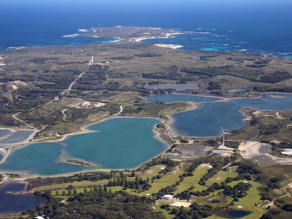
English: Aerial photograph of central Rottnest Island, photographed from above the Thomson Bay settlement, looking west towards Cape Vlamingh. Visible in the foreground are the golf course, wind turbine, Mt Herschell and some salt lakes. |
| Datum | |
| Bron | Eigen werk |
| Auteur | Mark |
| Andere versies |
.jpg)
Licentie
Ik, de auteursrechthebbende van dit werk, maak het hierbij onder de volgende licentie beschikbaar:

|
Toestemming wordt verleend voor het kopiëren, verspreiden en/of wijzigen van dit document onder de voorwaarden van de GNU-licentie voor vrije documentatie, versie 1.2 of enige latere versie als gepubliceerd door de Free Software Foundation; zonder Invariant Sections, zonder Front-Cover Texts, en zonder Back-Cover Texts. Een kopie van de licentie is opgenomen in de sectie GNU-licentie voor vrije documentatie. |
Bestandsgeschiedenis
Klik op een datum/tijd om het bestand te zien zoals het destijds was.
| Datum/tijd | Miniatuur | Afmetingen | Gebruiker | Opmerking | |
|---|---|---|---|---|---|
| huidige versie | 11 aug 2008 13:35 | | 2.560 × 1.920 (5,29 MB) | Mark | {{Information |Description={{en|1=Aerial photograph of central Rottnest Island, photographed from above the Thomson Bay settlement, looking west towards Cape Vlamingh. Visible in the foreground are the golf course, wind turbine, Mt H |
Bestandsgebruik
Dit bestand wordt op de volgende pagina gebruikt:
Globaal bestandsgebruik
De volgende andere wiki's gebruiken dit bestand:
- Gebruikt op de.wikipedia.org
- Gebruikt op en.wikipedia.org
- Gebruikt op fr.wikipedia.org
- Gebruikt op gl.wikipedia.org
- Gebruikt op incubator.wikimedia.org