
Bestand:Subdivisions of Xinjiang (China).png
Grootte van deze voorvertoning: 789 × 600 pixels. Andere resoluties: 316 × 240 pixels | 631 × 480 pixels | 960 × 730 pixels.
Oorspronkelijk bestand (960 × 730 pixels, bestandsgrootte: 163 kB, MIME-type: image/png)
| Dit is een bestand van Wikimedia Commons. Onderstaande beschrijving komt van de beschrijving van het bestand daar. |
.png)
Beschrijving
| Beschrijving |
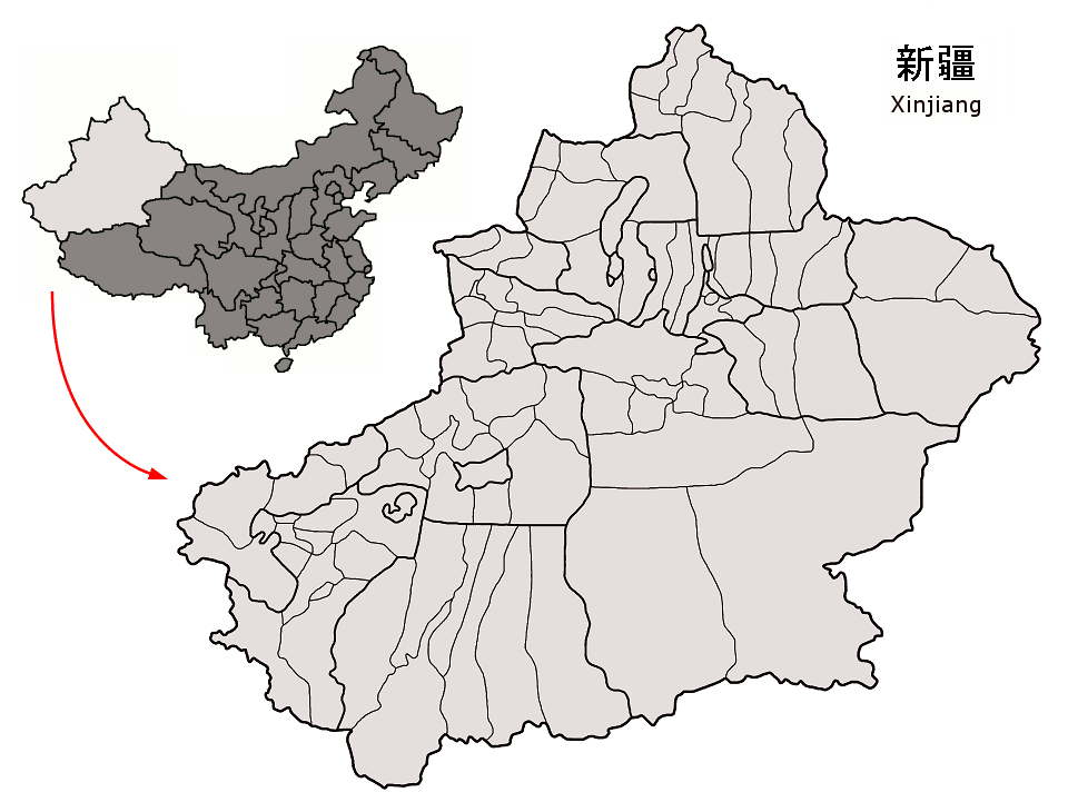
County-level subdivisions in Xinjiang autonomous region of China Map drawn in september 2007 using various sources, mainly : |
| Datum | |
| Bron | Eigen werk |
| Auteur | Croquant |
Licentie
Ik, de auteursrechthebbende van dit werk, maak het hierbij onder de volgende licentie beschikbaar:
Dit bestand is gelicenseerd onder de Creative Commons-licentie Naamsvermelding 3.0 Unported
- De gebruiker mag:
- Delen – het werk kopiëren, verspreiden en doorgeven
- Remixen – afgeleide werken maken
- Onder de volgende voorwaarden:
- naamsvermelding – U moet op een gepaste manier aan naamsvermelding doen, een link naar de licentie geven, en aangeven of er wijzigingen in het werk zijn aangebracht. U mag dit op elke redelijke manier doen, maar niet zodanig dat de indruk wordt gewekt dat de licentiegever instemt met uw werk of uw gebruik van zijn werk.
Bestandsgeschiedenis
Klik op een datum/tijd om het bestand te zien zoals het destijds was.
| Datum/tijd | Miniatuur | Afmetingen | Gebruiker | Opmerking | |
|---|---|---|---|---|---|
| huidige versie | 7 sep 2007 18:26 | | 960 × 730 (163 kB) | Croquant | Ili Prefecture: limits of Yining City |
| 6 sep 2007 18:04 |  | 960 × 730 (163 kB) | Croquant | divisions of Urumqi Prefecture | |
| 5 sep 2007 21:40 |  | 960 × 730 (163 kB) | Croquant | corrections in Urumqi Prefecture | |
| 5 sep 2007 17:05 |  | 960 × 730 (163 kB) | Croquant | minor changes | |
| 5 sep 2007 16:46 |  | 960 × 730 (163 kB) | Croquant | == Summary == {{Information |Description=County-level subdivisions in Xinjiang autonomous region of China Map drawn in september 2007 using various sources, mainly : * [http://sedac.ciesin.org/china/admin/bnd90/t6590.html Xinjiang Uygur autonomous region |
Bestandsgebruik
Dit bestand wordt op de volgende pagina gebruikt:
.png)