
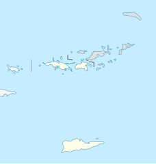
Bestand:USA Virgin Islands location map.svg

Afmetingen van deze voorvertoning van het type PNG van dit SVG-bestand: 570 × 599 pixels Andere resoluties: 228 × 240 pixels | 457 × 480 pixels | 731 × 768 pixels | 974 × 1.024 pixels | 1.949 × 2.048 pixels | 787 × 827 pixels.
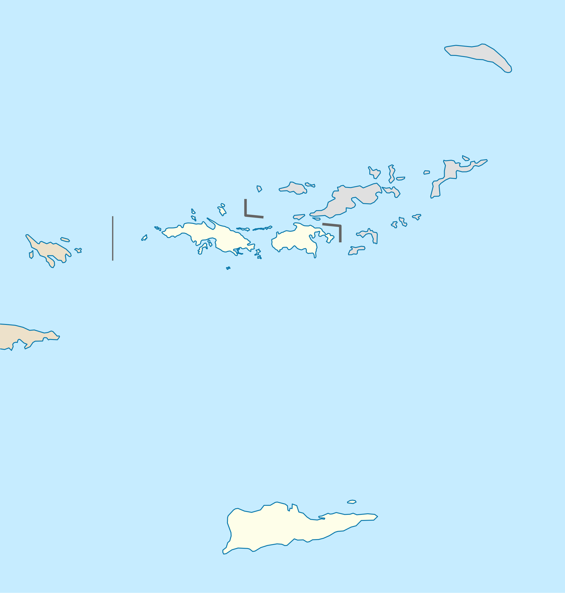
Oorspronkelijk bestand (SVG-bestand, nominaal 787 × 827 pixels, bestandsgrootte: 51 kB)
| Dit is een bestand van Wikimedia Commons. Onderstaande beschrijving komt van de beschrijving van het bestand daar. |
Beschrijving
| Beschrijving |
Quadratische Plattkarte, N-S-Streckung 105 %. Geographische Begrenzung der Karte:
Equirectangular projection, N/S stretching 105 %. Geographic limits of the map:
|
| Datum | |
| Bron |
own work, using
|
| Auteur | NordNordWest |
| Andere versies | Afgeleide werken van dit bestand: Popular footprint.png |

|
Deze kaart is gemaakt of verbeterd in de Duitse Kartenwerkstatt (Map Lab). Je kunt ook zelf kaarten ter verbetering voorstellen.
|
Licentie
Ik, de auteursrechthebbende van dit werk, maak het hierbij onder de volgende licentie beschikbaar:
Dit bestand is gelicenseerd onder de Creative Commons-licentie Naamsvermelding-Gelijk delen 3.0 Unported
- De gebruiker mag:
- Delen – het werk kopiëren, verspreiden en doorgeven
- Remixen – afgeleide werken maken
- Onder de volgende voorwaarden:
- naamsvermelding – U moet op een gepaste manier aan naamsvermelding doen, een link naar de licentie geven, en aangeven of er wijzigingen in het werk zijn aangebracht. U mag dit op elke redelijke manier doen, maar niet zodanig dat de indruk wordt gewekt dat de licentiegever instemt met uw werk of uw gebruik van zijn werk.
- Gelijk delen – Als u het werk heeft geremixt, veranderd, of erop heeft voortgebouwd, moet u het gewijzigde materiaal verspreiden onder dezelfde licentie als het oorspronkelijke werk, of een daarmee compatibele licentie.
Bestandsgeschiedenis
Klik op een datum/tijd om het bestand te zien zoals het destijds was.
| Datum/tijd | Miniatuur | Afmetingen | Gebruiker | Opmerking | |
|---|---|---|---|---|---|
| huidige versie | 12 jul 2009 19:03 | | 787 × 827 (51 kB) | NordNordWest | |
| 12 jul 2009 19:03 |  | 787 × 827 (51 kB) | NordNordWest | ||
| 7 jul 2009 11:41 |  | 787 × 827 (51 kB) | NordNordWest | {{Information |Description= {{de|Positionskarte der Amerikanischen Jungferninseln, USA}} Quadratische Plattkarte, N-S-Streckung 105 %. Geographische Begrenzung der Karte: * N: 18.85° N * S: 17.6° N * W: 6 |
Bestandsgebruik
Dit bestand wordt op de volgende 34 pagina's gebruikt:
- Bethlehem Voetbalstadion
- Buck Island Reef National Monument
- Caneel Bay
- Charlotte Amalie
- Christiansted
- Cinnamon Bay
- Coral Bay (Amerikaanse Maagdeneilanden)
- Crown Mountain
- Cruz Bay
- East End (Saint Thomas)
- Fort Christian
- Fort Christiansværn
- Frederiksted
- Gibney Beach
- Great Hans Lollik
- Great Saint James
- Hassel Island
- Hull Bay
- Lionel Roberts Park
- Little Saint James
- Luchthaven Cyril E. King
- Luchthaven Henry E. Rohlsen
- Magens Bay
- Mount Eagle
- Protestant Cay
- Salt River Bay
- Sandy Point National Wildlife Refuge
- Sion Farm
- Thatch Cay
- Trunk Bay
- Tutu (Saint Thomas)
- Virgin Islands National Park
- Voetbal in Latijns-Amerika
- Sjabloon:Positiekaart Amerikaanse Maagdeneilanden
Globaal bestandsgebruik
De volgende andere wiki's gebruiken dit bestand:
- Gebruikt op af.wikipedia.org
- Gebruikt op an.wikipedia.org
- Gebruikt op ar.wikipedia.org
- Gebruikt op arz.wikipedia.org
- Gebruikt op ast.wikipedia.org
- Gebruikt op az.wikipedia.org
- Gebruikt op be-tarask.wikipedia.org
- Gebruikt op be.wikipedia.org
- Gebruikt op bg.wikipedia.org
- Gebruikt op bn.wikipedia.org
- Gebruikt op ceb.wikipedia.org
- Plantilya:Location map USA Virgin Islands
- Signal Hill
- Saint John
- The Narrows
- Long Bay
- Isaac Point
- Hughes Point
- Great Bay
- Mount Pleasant
- West Point
- West Cay
- Sandy Point
- Black Point
- Powell Point
- Sail Rock
- East Point
- White Point
- Whale Point
- Long Point
- Spring Point
- Fish Point
- Dog Rocks
- Sugar Bay
- Sandy Bay
- West End
- Southwest Point
- Salt Pond
- Salt Cay
- Pond Bay
- Flat Cays
- Pelican Cay
- Hurricane Hole
- Green Cay
- Porpoise Rocks
Globaal gebruik van dit bestand bekijken.