
Bestand:Map of Tochigi Prefecture Ja.svg

Oorspronkelijk bestand (SVG-bestand, nominaal 460 × 560 pixels, bestandsgrootte: 18 kB)
| Dit is een bestand van Wikimedia Commons. Onderstaande beschrijving komt van de beschrijving van het bestand daar. |
Beschrijving
| Beschrijving |
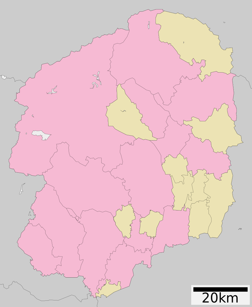
English: Map of Tochigi Prefecture
日本語: ja:栃木県区画図 |
||
| Datum | 更新:2010年3月29日 | ||
| Bron |
|
||
| Auteur | Lincun | ||
| Toestemming (Hergebruik van dit bestand) |
|
||
| Andere versies | Afgeleide werken van dit bestand: Flag map of Tochigi Prefecture.svg |
Licentie

|
Toestemming wordt verleend voor het kopiëren, verspreiden en/of wijzigen van dit document onder de voorwaarden van de GNU-licentie voor vrije documentatie, versie 1.2 of enige latere versie als gepubliceerd door de Free Software Foundation; zonder Invariant Sections, zonder Front-Cover Texts, en zonder Back-Cover Texts. Een kopie van de licentie is opgenomen in de sectie GNU-licentie voor vrije documentatie. |
- De gebruiker mag:
- Delen – het werk kopiëren, verspreiden en doorgeven
- Remixen – afgeleide werken maken
- Onder de volgende voorwaarden:
- naamsvermelding – U moet op een gepaste manier aan naamsvermelding doen, een link naar de licentie geven, en aangeven of er wijzigingen in het werk zijn aangebracht. U mag dit op elke redelijke manier doen, maar niet zodanig dat de indruk wordt gewekt dat de licentiegever instemt met uw werk of uw gebruik van zijn werk.
- Gelijk delen – Als u het werk heeft geremixt, veranderd, of erop heeft voortgebouwd, moet u het gewijzigde materiaal verspreiden onder dezelfde licentie als het oorspronkelijke werk, of een daarmee compatibele licentie.
Bestandsgeschiedenis
Klik op een datum/tijd om het bestand te zien zoals het destijds was.
| Datum/tijd | Miniatuur | Afmetingen | Gebruiker | Opmerking | |
|---|---|---|---|---|---|
| huidige versie | 4 dec 2020 06:24 | | 460 × 560 (18 kB) | AichiWikiFixer | Update borders and fixes. |
| 23 aug 2019 09:18 |  | 460 × 560 (16 kB) | LT sfm | 栃木市・岩舟町を合併 | |
| 5 apr 2014 08:51 |  | 460 × 560 (19 kB) | ニンジンシチュー | 岩舟町の栃木市編入を反映 | |
| 5 aug 2012 12:11 |  | 460 × 560 (22 kB) | ニンジンシチュー | ファイル:Tochigi in Tochigi Prefecture Ja.svgを加工して作成 | |
| 1 okt 2011 01:48 |  | 460 × 560 (16 kB) | Haaninjo | Updated to 2011.10.01 borders. Based on 2010.04.10 version of ja:file:包括自治体区画図 09000.svg and edited to reflect current borders after Nishikata-Tochigi merger. | |
| 10 apr 2010 16:15 |  | 460 × 560 (11 kB) | Lincun | {{基礎自治体位置図画像情報|栃木県||20100329}} | |
| 25 mei 2009 23:57 |  | 424 × 552 (12 kB) | Krisgrotius | {{Information| |Description= Map of Tochigi Prefecture |Source= Japanese wiki [http://ja.wikipedia.org/wiki/%E3%83%95%E3%82%A1%E3%82%A4%E3%83%AB:%E5%8C%85%E6%8B%AC%E8%87%AA%E6%B2%BB%E4%BD%93%E5%8C%BA%E7%94%BB%E5%9B%B3_09000.svg] |Date=~~~~~ |Author=[[: | |
| 28 mrt 2009 06:46 |  | 424 × 552 (12 kB) | Lincun | {{基礎自治体位置図画像情報|栃木県||20090323}} | |
| 24 sep 2007 15:30 |  | 530 × 712 (14 kB) | Lincun | {{基礎自治体位置図画像情報|栃木県|}} |
Bestandsgebruik
Dit bestand wordt op de volgende pagina gebruikt:
Globaal bestandsgebruik
De volgende andere wiki's gebruiken dit bestand:
- Gebruikt op en.wikipedia.org
- Gebruikt op gl.wikipedia.org
- Gebruikt op hu.wikipedia.org
- Gebruikt op id.wikipedia.org
- Gebruikt op ja.wikipedia.org
- 栃木県
- 宇都宮二荒山神社
- 日光二荒山神社
- 日光東照宮
- 足利大学
- 惣宗寺
- 栃木県道・群馬県道8号足利館林線
- 栃木県道・群馬県道・埼玉県道7号佐野行田線
- 栃木県道2号宇都宮栃木線
- 栗田美術館
- 国道119号
- 栃木県道3号宇都宮亀和田栃木線
- 栃木県道6号宇都宮楡木線
- 足利学校
- 足尾銅山
- 宇都宮清原球場
- 栃木県道17号那須高原線
- 栃木県道・茨城県道1号宇都宮笠間線
- 栃木県道4号宇都宮鹿沼線
- 鑁阿寺
- 栃木県道65号鹿沼下野線
- 栃木県道25号那須烏山矢板線
- 栃木県道16号佐野田沼線
- 栃木県道44号栃木二宮線
- 栃木県道34号黒磯黒羽線
- 栃木県道72号大田原芦野線
- 篠山貝塚
- 今泉八坂神社
- 栃木県立石橋高等学校
- 栃木県道61号真岡那須烏山線
- 栃木県道・群馬県道5号足利太田線
- 栃木県道27号那須黒羽茂木線
- 栃木県道69号宇都宮茂木線
- 栃木県道100号石橋停車場線
- 栃木県道184号安塚雀宮線
- 栃木県道309号栃木環状線
- 栃木県道75号栃木佐野線
- 宇都宮城
- 満願寺 (栃木市)
- Template:神社
- 神田城
- 福原城
- 烏山城
- 栃木県立足利高等学校
- Template‐ノート:神社
- 足利短期大学附属高等学校
Globaal gebruik van dit bestand bekijken.