
Bestand:Map of the North West with Molopo highlighted (2009).svg

Afmetingen van deze voorvertoning van het type PNG van dit SVG-bestand: 800 × 553 pixels Andere resoluties: 320 × 221 pixels | 640 × 442 pixels | 1.024 × 707 pixels | 1.280 × 884 pixels | 2.560 × 1.768 pixels | 912 × 630 pixels.
Oorspronkelijk bestand (SVG-bestand, nominaal 912 × 630 pixels, bestandsgrootte: 391 kB)
| Dit is een bestand van Wikimedia Commons. Onderstaande beschrijving komt van de beschrijving van het bestand daar. |
.svg)
Beschrijving
| Beschrijving |
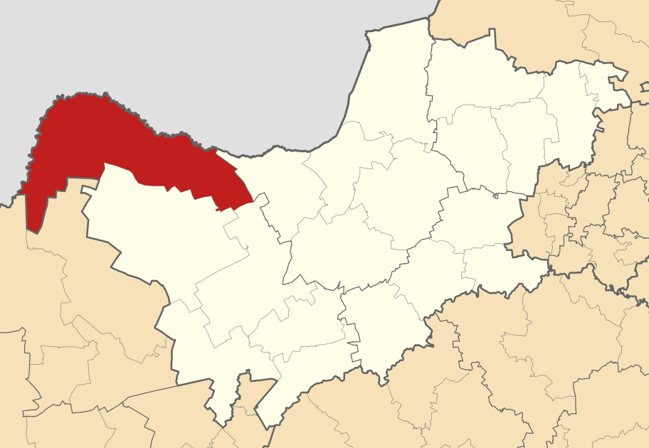
English: Map of the North West with the Molopo Local Municipality highlighted. Based on Image:Blank map of the North West.svg. |
| Datum | |
| Bron | Eigen werk |
| Auteur | Htonl |
Licentie
Ik, de auteursrechthebbende van dit werk, maak het hierbij onder de volgende licenties beschikbaar:
Dit bestand is gelicenseerd onder de Creative Commons-licentie Naamsvermelding-Gelijk delen 3.0 Unported
- De gebruiker mag:
- Delen – het werk kopiëren, verspreiden en doorgeven
- Remixen – afgeleide werken maken
- Onder de volgende voorwaarden:
- naamsvermelding – U moet op een gepaste manier aan naamsvermelding doen, een link naar de licentie geven, en aangeven of er wijzigingen in het werk zijn aangebracht. U mag dit op elke redelijke manier doen, maar niet zodanig dat de indruk wordt gewekt dat de licentiegever instemt met uw werk of uw gebruik van zijn werk.
- Gelijk delen – Als u het werk heeft geremixt, veranderd, of erop heeft voortgebouwd, moet u het gewijzigde materiaal verspreiden onder dezelfde licentie als het oorspronkelijke werk, of een daarmee compatibele licentie.

|
Toestemming wordt verleend voor het kopiëren, verspreiden en/of wijzigen van dit document onder de voorwaarden van de GNU-licentie voor vrije documentatie, versie 1.2 of enige latere versie als gepubliceerd door de Free Software Foundation; zonder Invariant Sections, zonder Front-Cover Texts, en zonder Back-Cover Texts. Een kopie van de licentie is opgenomen in de sectie GNU-licentie voor vrije documentatie. |
U mag zelf één van de licenties kiezen.
Bestandsgeschiedenis
Klik op een datum/tijd om het bestand te zien zoals het destijds was.
| Datum/tijd | Miniatuur | Afmetingen | Gebruiker | Opmerking | |
|---|---|---|---|---|---|
| huidige versie | 18 mrt 2011 04:05 | | 912 × 630 (391 kB) | Htonl | tweak size |
| 21 dec 2010 00:29 |  | 855 × 585 (800 kB) | Htonl | projection, style | |
| 3 feb 2010 00:13 |  | 1.000 × 625 (1,21 MB) | Htonl | == {{int:filedesc}} == {{Information |Description={{en|1=Map of the North West with the Molopo Local Municipality highlighted. Based on Image:Blank map of the North West.svg.}} |Source={{own}} |Author=Htonl |Date=2010-02-01 |Permission |
Bestandsgebruik
Dit bestand wordt op de volgende pagina gebruikt:
Globaal bestandsgebruik
De volgende andere wiki's gebruiken dit bestand:
- Gebruikt op af.wikipedia.org
- Gebruikt op de.wikipedia.org
- Gebruikt op en.wikipedia.org
- Gebruikt op pl.wikipedia.org
- Gebruikt op ru.wikipedia.org
- Gebruikt op www.wikidata.org
- Gebruikt op yo.wikipedia.org
- Gebruikt op zu.wikipedia.org
.svg)