
Bestand:Marlborough nz location.png
Geen hogere resolutie beschikbaar.
Marlborough_nz_location.png (405 × 590 pixels, bestandsgrootte: 7 kB, MIME-type: image/png)
| Dit is een bestand van Wikimedia Commons. Onderstaande beschrijving komt van de beschrijving van het bestand daar. |
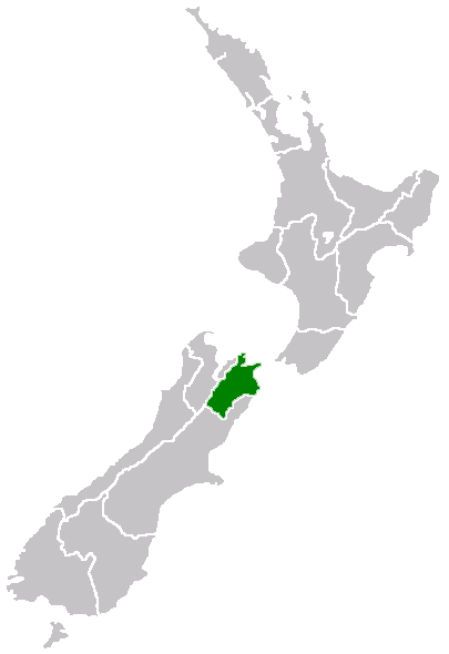
Region of New Zealand, position on the map
| |
Dit bestand is door Furius op Wikimedia Commons, in het publieke domein geplaatst. Dit is wereldwijd van toepassing. In sommige landen is dit niet mogelijk; in die gevallen geldt: |
Bestandsgeschiedenis
Klik op een datum/tijd om het bestand te zien zoals het destijds was.
| Datum/tijd | Miniatuur | Afmetingen | Gebruiker | Opmerking | |
|---|---|---|---|---|---|
| huidige versie | 27 apr 2005 09:40 | | 405 × 590 (7 kB) | Domie~commonswiki | Region of New Zealand, position on the map {{PD}} Category:Maps of New Zealand |
Bestandsgebruik
Geen enkele pagina gebruikt dit bestand.
Globaal bestandsgebruik
De volgende andere wiki's gebruiken dit bestand:
- Gebruikt op en.wikipedia.org
- Port Gore
- Kenepuru Sound
- Cape Campbell
- Tapuae-o-Uenuku
- Long Island (Marlborough)
- RNZAF Base Woodbourne
- Fairy Bay
- Tawero Point
- Allports Island
- Amerikiwhati Island
- Anatakupu Island
- Wharanui
- Template:Marlborough-geo-stub
- Moenui
- Cape Jackson, New Zealand
- Penzance Bay
- Maungatapu
- Koromiko, New Zealand
- West Head
- Blumine Island
- Wards Pass
- Rangitoto Islands
- Chetwode Islands
- Marlborough Sounds Important Bird Areas
- Forsyth Island (New Zealand)
- Dillon Cone
- Whangamoa Saddle
- Bryant Range
- Burleigh, New Zealand
- Croisilles Harbour
- Kaikoura County
- Marlborough County
- Bottle Rock
- Budges Island
- Gebruikt op fi.wikipedia.org
- Gebruikt op gd.wikipedia.org
- Gebruikt op hi.wikipedia.org
- Gebruikt op ja.wikipedia.org
- Gebruikt op ko.wikipedia.org
- Gebruikt op ms.wikipedia.org
- Gebruikt op nn.wikipedia.org
- Gebruikt op pl.wikipedia.org
- Gebruikt op ru.wikipedia.org
- Gebruikt op sh.wikipedia.org
- Gebruikt op simple.wikipedia.org
- Gebruikt op sv.wikipedia.org
- Gebruikt op uk.wikipedia.org
- Gebruikt op ur.wikipedia.org
- Gebruikt op www.wikidata.org
Globaal gebruik van dit bestand bekijken.