
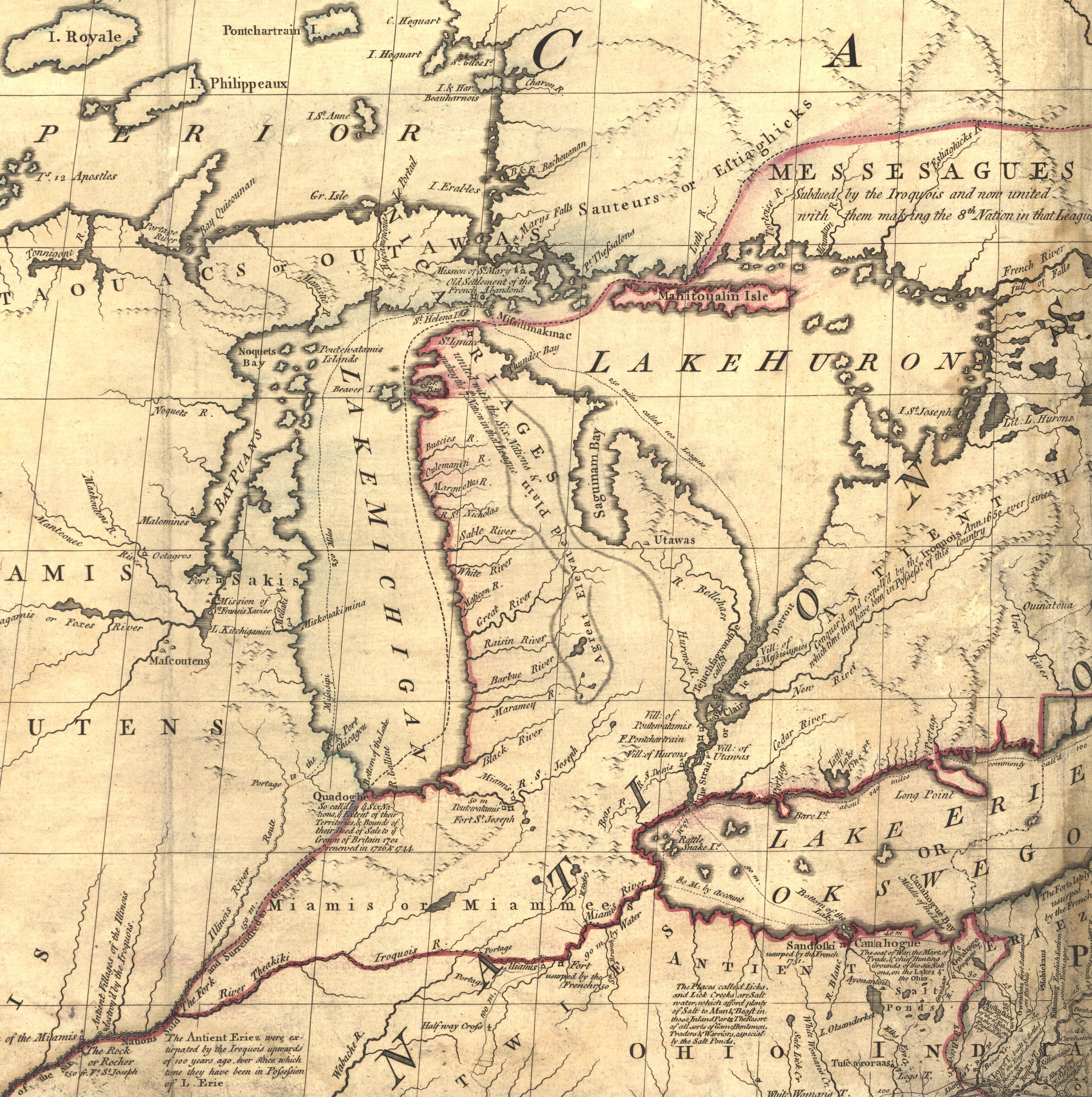
Bestand:Mitchell map michigan.jpg
Grootte van deze voorvertoning: 597 × 600 pixels. Andere resoluties: 239 × 240 pixels | 478 × 480 pixels | 765 × 768 pixels | 1.020 × 1.024 pixels | 2.356 × 2.366 pixels.
Oorspronkelijk bestand (2.356 × 2.366 pixels, bestandsgrootte: 5,97 MB, MIME-type: image/jpeg)
| Dit is een bestand van Wikimedia Commons. Onderstaande beschrijving komt van de beschrijving van het bestand daar. |
Beschrijving
| Beschrijving | Mitchell Map - A map of the British and French dominions in North America,...; 1757, cropped to Michigan region |
| Datum | tussen 1755 en 1757 |
| Bron | Library of Congress |
| Auteur | John Mitchell; digital version, Library of Congress, Geography and Map Division. |
| Toestemming (Hergebruik van dit bestand) |
"The Library of Congress is providing access to these materials for educational and research purposes and is not aware of any U.S. copyright protection" (source: http://memory.loc.gov/cgi-bin/ammemrr.pl?title=Map%20Collections&coll=gmd&div=&agg=g3300&default=ammem&dir=ammem) |
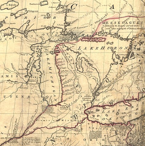
| Andere versies | Mitchell Map-06full2.jpg |
Licentie
|
Het tweedimensionale kunstwerk afgebeeld op deze afbeelding valt in het publiek domein omdat:
Reproducties van het werk kunnen ook worden beschouwd als publiek domein omdat ze geen oorspronkelijk karakter hebben. Dit geldt voor reproducties gemaakt in de Verenigde Staten (zie Bridgeman Art Library v. Corel Corp.), Duitsland en veel andere landen.
| ||||
Oorspronkelijk uploadlogboek
De oorspronkelijke beschrijving van deze afbeelding stond hier. Alle volgende gebruikersnamen verwijzen naar en.wikipedia.
- 2006-05-03 00:35 Hotstreets 258×277×8 (28294 bytes) Mitchell Map of Michigan region from late 1700s. Public domain, since an image of a public domain image is also public domain. Found on [http://www.usm.maine.edu/~maps/mitchell/full2.jpeg].
Bestandsgeschiedenis
Klik op een datum/tijd om het bestand te zien zoals het destijds was.
| Datum/tijd | Miniatuur | Afmetingen | Gebruiker | Opmerking | |
|---|---|---|---|---|---|
| huidige versie | 4 jul 2016 23:53 | | 2.356 × 2.366 (5,97 MB) | JasonAQuest | Cropped from file:Mitchell_Map-06full2.jpg |
| 11 apr 2007 19:01 |  | 258 × 277 (28 kB) | Liftarn | {{Information |Description=Mitchell Map of Michigan region from late 1700s. Public domain, since an image of a public domain image is also public domain. Found on [http://www.usm.maine.edu/~maps/mitchell/full2.jpeg]. |Source=Originally from [http://en.wik |
Bestandsgebruik
Dit bestand wordt op de volgende pagina gebruikt:
Globaal bestandsgebruik
De volgende andere wiki's gebruiken dit bestand:
- Gebruikt op en.wikipedia.org
- Gebruikt op it.wikipedia.org
- Gebruikt op ja.wikipedia.org
- Gebruikt op pt.wikipedia.org
- Gebruikt op ru.wikipedia.org