
Bestand:Newbury, Site of the Second Battle of Newbury 1644 - geograph.org.uk - 1656273.jpg
Geen hogere resolutie beschikbaar.
Newbury,_Site_of_the_Second_Battle_of_Newbury_1644_-_geograph.org.uk_-_1656273.jpg (640 × 480 pixels, bestandsgrootte: 107 kB, MIME-type: image/jpeg)
| Dit is een bestand van Wikimedia Commons. Onderstaande beschrijving komt van de beschrijving van het bestand daar. |
Beschrijving
| Beschrijving |
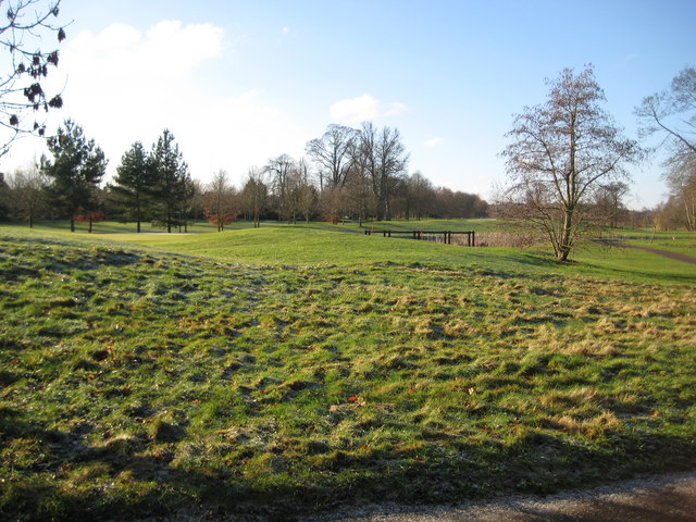
English: Newbury: Site of the Second Battle of Newbury 1644 During the Civil War, between 1641 and 1651, the Second Battle of Newbury took place around this area on 27 October 1644 when the Royalists under King Charles I fought the Parliamentarians under the Earl of Essex. The King had just returned with his army from the West Country and relieved the garrison at Donnington Castle on 22 October. However the larger Parliamentarian army regrouped and attacked the Royalist strongholds at the castle, at Speen to the west, and Shaw House to the east on 27 October. The Royalist army comprised some 8,500 troops and the Parliamentarians mustered about 19,000. The ensuing skirmishes resulted in similar proportions of casualties on both sides, with the Royalists losing about 1,500 and the Parliamentarians about 2,000 men. Although the result of the battle was indecisive, the King realised that his army could not face a further battle on a second day and made an unopposed retreat to his Oxford stronghold. On the following day the Parliamentarians regained Donnington Castle, which had been their stronghold until the First Battle of Newbury, only for the Royalists to retake it on 9 November.
Today the battlefield is occupied by the golf course of the Donnington Grove Country Club. |
| Datum | |
| Bron | From geograph.org.uk |
| Auteur | Nigel Cox |
| Naamsvermelding (required by the license) | Nigel Cox / Newbury: Site of the Second Battle of Newbury 1644 / |
| Cameralocatie | | Deze en andere afbeeldingen in: OpenStreetMap |
|---|
_heading:247.00&language=nl)
| Objectlocatie | | Deze en andere afbeeldingen in: OpenStreetMap |
|---|
_heading:247.00&language=nl)
Licentie

|
Deze afbeelding komt uit de Geograph British Isles-collectie. Zie de pagina van deze foto op de website van Geograph voor contactinformatie van de fotograaf. Het auteursrecht van deze foto is in handen van Nigel Cox en de foto is gelicenceerd voor hergebruik onder de Creative Commons Naamsvermelding-Gelijk delen 2.0 licentie.
|
Dit bestand is gelicenseerd onder de Creative Commons-licentie Naamsvermelding-Gelijk delen 2.0 Unported
Naamsvermelding: Nigel Cox
- De gebruiker mag:
- Delen – het werk kopiëren, verspreiden en doorgeven
- Remixen – afgeleide werken maken
- Onder de volgende voorwaarden:
- naamsvermelding – U moet op een gepaste manier aan naamsvermelding doen, een link naar de licentie geven, en aangeven of er wijzigingen in het werk zijn aangebracht. U mag dit op elke redelijke manier doen, maar niet zodanig dat de indruk wordt gewekt dat de licentiegever instemt met uw werk of uw gebruik van zijn werk.
- Gelijk delen – Als u het werk heeft geremixt, veranderd, of erop heeft voortgebouwd, moet u het gewijzigde materiaal verspreiden onder dezelfde licentie als het oorspronkelijke werk, of een daarmee compatibele licentie.
Bestandsgeschiedenis
Klik op een datum/tijd om het bestand te zien zoals het destijds was.
| Datum/tijd | Miniatuur | Afmetingen | Gebruiker | Opmerking | |
|---|---|---|---|---|---|
| huidige versie | 4 mrt 2011 23:37 | | 640 × 480 (107 kB) | GeographBot | == {{int:filedesc}} == {{Information |description={{en|1=Newbury: Site of the Second Battle of Newbury 1644 During the Civil War, between 1641 and 1651, the Second Battle of Newbury took place around this area on 27 October 1644 when the Royalists under K |
Bestandsgebruik
Dit bestand wordt op de volgende pagina gebruikt:
Globaal bestandsgebruik
De volgende andere wiki's gebruiken dit bestand:
- Gebruikt op en.wikipedia.org
- Gebruikt op fr.wikipedia.org
- Gebruikt op www.wikidata.org