
Bestand:Relief Map of Uzbekistan.png

Grootte van deze voorvertoning: 800 × 529 pixels. Andere resoluties: 320 × 211 pixels | 640 × 423 pixels | 1.024 × 677 pixels | 1.200 × 793 pixels.
Oorspronkelijk bestand (1.200 × 793 pixels, bestandsgrootte: 1,42 MB, MIME-type: image/png)
| Dit is een bestand van Wikimedia Commons. Onderstaande beschrijving komt van de beschrijving van het bestand daar. |
Beschrijving
| Beschrijving |
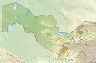
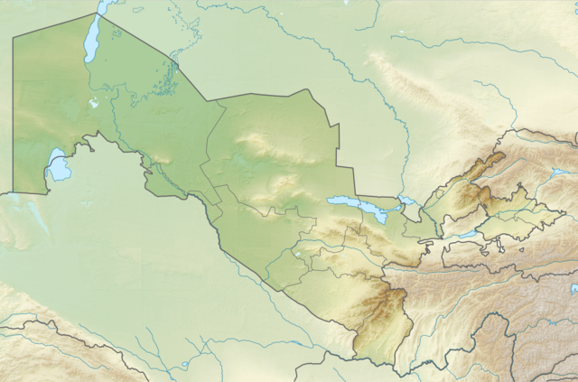
English: Relief map of Uzbekistan
Equirectangular projection, N/S stretching 130 %. Geographic limits of the map:
|
| Datum | |
| Bron | |
| Auteur |
|
| Toestemming (Hergebruik van dit bestand) |
Dit bestand is gelicenseerd onder de Creative Commons-licentie Naamsvermelding-Gelijk delen 3.0 Unported
|
Bestandsgeschiedenis
Klik op een datum/tijd om het bestand te zien zoals het destijds was.
| Datum/tijd | Miniatuur | Afmetingen | Gebruiker | Opmerking | |
|---|---|---|---|---|---|
| huidige versie | 26 aug 2010 22:01 | | 1.200 × 793 (1,42 MB) | Виктор В | =={{int:filedesc}}== {{Information |Description={{en|Relief map of Uzbekistan}} Equirectangular projection, N/S stretching 130 %. Geographic limits of the map: * N: 45.9° N * S: 36.8° N * W: 55.6° E * E: 73.5° E |Source=*[[:File:Uzb |
Bestandsgebruik
Dit bestand wordt op de volgende 5 pagina's gebruikt:
Globaal bestandsgebruik
De volgende andere wiki's gebruiken dit bestand:
- Gebruikt op als.wikipedia.org
- Gebruikt op ar.wikipedia.org
- Gebruikt op ast.wikipedia.org
- Gebruikt op av.wikipedia.org
- Gebruikt op azb.wikipedia.org
- Gebruikt op az.wikipedia.org
- Gebruikt op ba.wikipedia.org
- Gebruikt op bcl.wikipedia.org
- Gebruikt op be.wikipedia.org
- Gebruikt op bg.wikipedia.org
Globaal gebruik van dit bestand bekijken.