
Bestand:USA North Carolina relief location map.jpg

Grootte van deze voorvertoning: 800 × 485 pixels. Andere resoluties: 320 × 194 pixels | 640 × 388 pixels | 1.024 × 621 pixels | 1.280 × 776 pixels | 1.774 × 1.076 pixels.
Oorspronkelijk bestand (1.774 × 1.076 pixels, bestandsgrootte: 696 kB, MIME-type: image/jpeg)
| Dit is een bestand van Wikimedia Commons. Onderstaande beschrijving komt van de beschrijving van het bestand daar. |
Beschrijving
| Beschrijving |
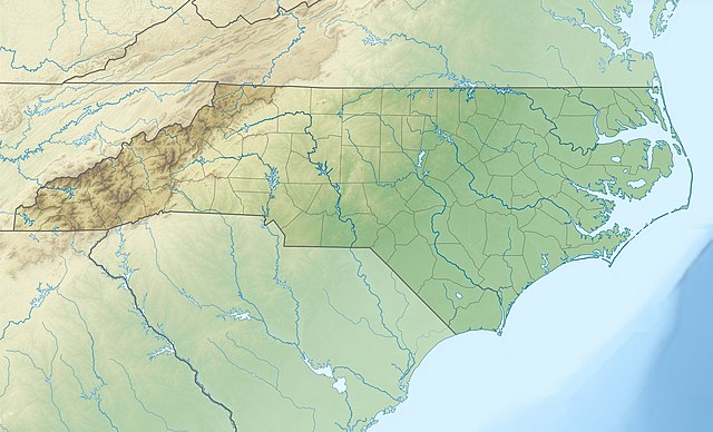
Quadratische Plattkarte, N-S-Streckung 120.0 %. Geographische Begrenzung der Karte:
Equirectangular projection, N/S stretching 120.0 %. Geographic limits of the map:
|
||
| Datum | |||
| Bron |
Eigen werk
|
||
| Auteur | Alexrk2 | ||
| Andere versies |
|


|
Deze kaart is gemaakt of verbeterd in de Duitse Kartenwerkstatt (Map Lab). Je kunt ook zelf kaarten ter verbetering voorstellen.
|
Licentie
Ik, de auteursrechthebbende van dit werk, maak het hierbij onder de volgende licenties beschikbaar:

|
Toestemming wordt verleend voor het kopiëren, verspreiden en/of wijzigen van dit document onder de voorwaarden van de GNU-licentie voor vrije documentatie, versie 1.2 of enige latere versie als gepubliceerd door de Free Software Foundation; zonder Invariant Sections, zonder Front-Cover Texts, en zonder Back-Cover Texts. Een kopie van de licentie is opgenomen in de sectie GNU-licentie voor vrije documentatie. |
Dit bestand is gelicenseerd onder de Creative Commons-licentie Naamsvermelding 3.0 Unported
- De gebruiker mag:
- Delen – het werk kopiëren, verspreiden en doorgeven
- Remixen – afgeleide werken maken
- Onder de volgende voorwaarden:
- naamsvermelding – U moet op een gepaste manier aan naamsvermelding doen, een link naar de licentie geven, en aangeven of er wijzigingen in het werk zijn aangebracht. U mag dit op elke redelijke manier doen, maar niet zodanig dat de indruk wordt gewekt dat de licentiegever instemt met uw werk of uw gebruik van zijn werk.
U mag zelf één van de licenties kiezen.
Bestandsgeschiedenis
Klik op een datum/tijd om het bestand te zien zoals het destijds was.
| Datum/tijd | Miniatuur | Afmetingen | Gebruiker | Opmerking | |
|---|---|---|---|---|---|
| huidige versie | 25 apr 2010 14:04 | | 1.774 × 1.076 (696 kB) | Alexrk2 | == {{int:filedesc}} == {{Information |Description= {{de|Physische Positionskarte von North Carolina, USA}} Quadratische Plattkarte, N-S-Streckung 120.0 %. Geographische Begrenzung der Karte: * N: 37.5° N * S: 32.8° N * |
Bestandsgebruik
Dit bestand wordt op de volgende 4 pagina's gebruikt:
Globaal bestandsgebruik
De volgende andere wiki's gebruiken dit bestand:
- Gebruikt op ar.wikipedia.org
- Gebruikt op ast.wikipedia.org
- Gebruikt op az.wikipedia.org
- Gebruikt op be-tarask.wikipedia.org
- Gebruikt op bg.wikipedia.org
- Gebruikt op bn.wikipedia.org
- Gebruikt op ca.wikipedia.org
- Gebruikt op ceb.wikipedia.org
- Gebruikt op ce.wikipedia.org
- Gebruikt op cs.wikipedia.org
- Gebruikt op da.wikipedia.org
- Gebruikt op de.wikipedia.org
- Mount Mitchell
- WRAL-Sendemast
- WITN-Tower
- WTVD-Sendemast
- WNCN-Sendemast
- Pilot Mountain State Park
- Mount Guyot (North Carolina)
- Roanoke Island
- Outer Banks
- Vorlage:Positionskarte USA North Carolina
- Grandfather Mountain
- Pamlico Sound
- High Rock Lake
- Lake Norman
- Lake Norman State Park
- King’s Pinnacle
- Wikipedia:Kartenwerkstatt/Positionskarten/Nordamerika
- Harris Lake (New Hill, North Carolina)
- Wikipedia:Kartenwerkstatt/Archiv/2010-04
Globaal gebruik van dit bestand bekijken.