
Bestand:Historical region of Palestine (as defined by Palestinian Nationalism) showing Israel's 1948 and 1967 borders.svg

Afmetingen van deze voorvertoning van het type PNG van dit SVG-bestand: 424 × 600 pixels Andere resoluties: 170 × 240 pixels | 339 × 480 pixels | 543 × 768 pixels | 724 × 1.024 pixels | 1.448 × 2.048 pixels | 744 × 1.052 pixels.
Oorspronkelijk bestand (SVG-bestand, nominaal 744 × 1.052 pixels, bestandsgrootte: 90 kB)
| Dit is een bestand van Wikimedia Commons. Onderstaande beschrijving komt van de beschrijving van het bestand daar. |
_showing_Israel%27s_1948_and_1967_borders.svg)
Beschrijving
| Beschrijving |
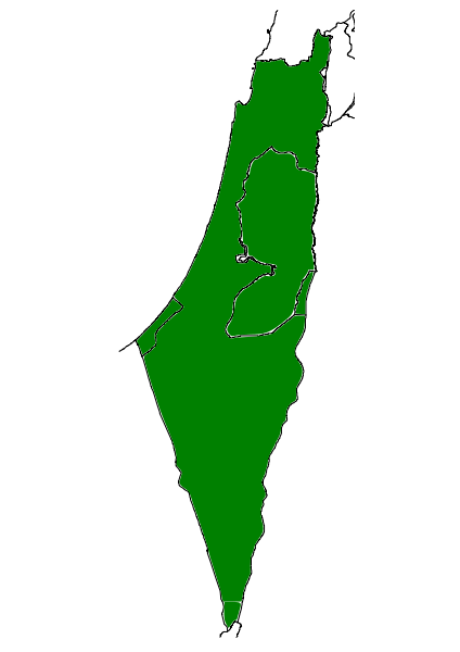
English: Historical region of Palestine (as defined by Palestinian Nationalism) showing Israel's 1948 and 1967 borders |
| Datum | |
| Bron |
Eigen werk. Created from scratch using Inkscape, with reference to other wikimedia commons files. Dit bestand is afgeleid van: |
| Auteur | Oncenawhile |
| Andere versies | File:Palestinian National Authority showing Israel's 1948 and 1967 borders.svg |
Licentie
Ik, de auteursrechthebbende van dit werk, maak het hierbij onder de volgende licentie beschikbaar:
| Dit bestand is beschikbaar onder Creative Commons CC0 1.0 Universele Public Domain Dedication. | |
| De persoon die een werk voorziet van deze licentie stelt dit werk beschikbaar aan het publieke domein door, voor zover dit wettelijk is toegestaan, afstand te doen van alle rechten op het werk in de zin van het auteursrecht, met inbegrip van alle aanverwante of naburige rechten. U kunt het werk kopiëren, aanpassen, distribueren en uitvoeren, ook voor commerciële doeleinden, zonder dat u daarvoor toestemming hoeft te vragen.
|
Bestandsgeschiedenis
Klik op een datum/tijd om het bestand te zien zoals het destijds was.
| Datum/tijd | Miniatuur | Afmetingen | Gebruiker | Opmerking | |
|---|---|---|---|---|---|
| huidige versie | 30 mrt 2011 17:30 | | 744 × 1.052 (90 kB) | Onceinawhile | {{Information |Description ={{en|1=Historical region of Palestine (as defined by Palestinian Nationalism) showing Israel's 1948 and 1967 borders}} |Source ={{own}}. Created from scratch using Inkscape, with reference to other wikimedia commons |
Bestandsgebruik
Dit bestand wordt op de volgende pagina gebruikt:
Globaal bestandsgebruik
De volgende andere wiki's gebruiken dit bestand:
- Gebruikt op ar.wikipedia.org
- Gebruikt op bg.wikipedia.org
- Gebruikt op de.wikipedia.org
- Gebruikt op en.wikipedia.org
- Gebruikt op gl.wikipedia.org
- Gebruikt op pt.wikipedia.org
- Gebruikt op ro.wikipedia.org
- Gebruikt op sco.wikipedia.org
_showing_Israel%27s_1948_and_1967_borders.svg)