
Bestand:Mamtor-valley.jpg
Grootte van deze voorvertoning: 600 × 600 pixels. Andere resoluties: 240 × 240 pixels | 480 × 480 pixels | 1.000 × 1.000 pixels.
Oorspronkelijk bestand (1.000 × 1.000 pixels, bestandsgrootte: 180 kB, MIME-type: image/jpeg)
| Dit is een bestand van Wikimedia Commons. Onderstaande beschrijving komt van de beschrijving van het bestand daar. |
| Beschrijving |
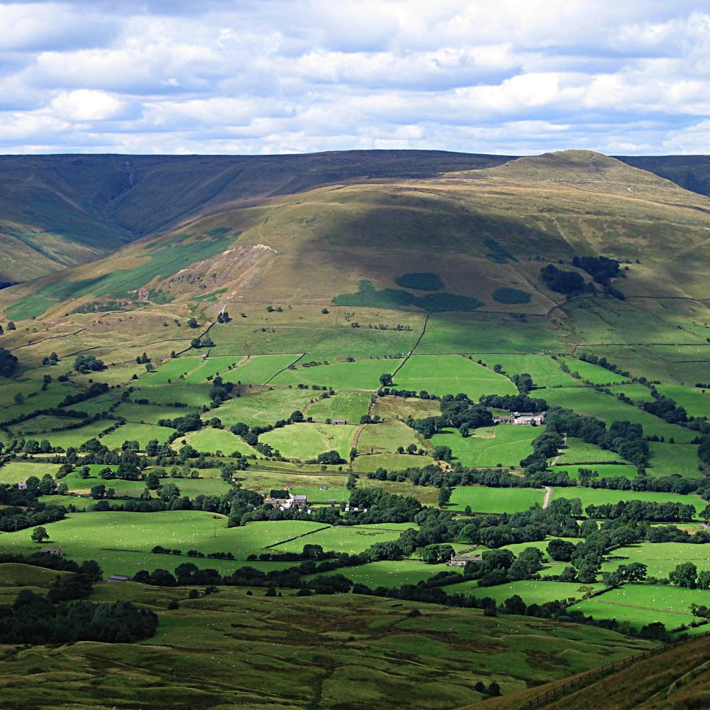
View down the valley from Mam Tor in the en:Peak District, UK. Twelve large en:limestone quarries operate in the Peak District Photographed by Bala Amavasai Camera: Canon A520 |
| Datum | 10 augustus 2005 (originele uploaddatum) |
| Bron | Originally from en.wikipedia; description page is/was here. |
| Auteur | De originele uploader was Bpa op de Engelstalige Wikipedia |
| Dit bestand is gelicenseerd onder de Creative Commons-licentie Naamsvermelding-Gelijk delen 3.0 Unported Onderhevig aan disclaimers. | ||
| ||
| Deze licentietag is toegevoegd aan dit bestand in verband met de GFDL licentie-update. |

|
Toestemming wordt verleend voor het kopiëren, verspreiden en/of wijzigen van dit document onder de voorwaarden van de GNU-licentie voor vrije documentatie, versie 1.2 of enige latere versie als gepubliceerd door de Free Software Foundation; zonder Invariant Sections, zonder Front-Cover Texts, en zonder Back-Cover Texts. Een kopie van de licentie is opgenomen in de sectie GNU-licentie voor vrije documentatie. Onderhevig aan disclaimers. |
(All user names refer to en.wikipedia)
- 2005-08-10 17:02 Bpa 1000×1000×8 (184106 bytes) View down the valley from Mam Tor
Bestandsgeschiedenis
Klik op een datum/tijd om het bestand te zien zoals het destijds was.
| Datum/tijd | Miniatuur | Afmetingen | Gebruiker | Opmerking | |
|---|---|---|---|---|---|
| huidige versie | 14 jul 2007 20:18 | | 1.000 × 1.000 (180 kB) | Finavon | {{Information |Description=View down the valley from Mam Tor in the Peak District, UK. Photographed by Bala Amavasai Camera: Canon A520 |Source=Originally from [http://en.wikipedia.org en.wikipedia]; description page is/was [http://en.wikipedia.org/w/ |
Bestandsgebruik
Dit bestand wordt op de volgende pagina gebruikt:
Globaal bestandsgebruik
De volgende andere wiki's gebruiken dit bestand:
- Gebruikt op br.wikipedia.org
- Gebruikt op en.wikipedia.org
- Mam Tor
- Bocage
- The Roaches
- Hartington, Derbyshire
- Stanage Edge
- Kinder Scout
- Heights of Abraham
- Dovedale
- Bleaklow
- Black Hill (Peak District)
- Thorpe Cloud
- Lose Hill
- Shining Tor
- Win Hill
- User:Bpa
- Wolfscote Hill
- Axe Edge Moor
- Crook Hill
- Parkhouse Hill
- Alport Height
- Chrome Hill
- Derwent Edge
- Shutlingsloe
- Minninglow
- Margery Hill
- Stanton Moor
- Gun (Staffordshire)
- Eldon Hill
- The Cloud (hill)
- Higger Tor
- Rushup Edge
- Tegg's Nose
- Template:Peaks of the Peak District
- High Stones
- High Wheeldon
- Wetton, Staffordshire
- Grindslow Knoll
- Croker Hill
- Eccles Pike
- Brown Knoll
- Featherbed Moss
- Featherbed Top
- Mill Hill (Derbyshire)
- Britland Edge Hill
- Lost Lad
- Oliver Hill (Peak District)
- Black Edge
- Combs Moss
- Grin Low
Globaal gebruik van dit bestand bekijken.