
Bestand:Buren-Blaeu-1665-2.jpg

Grootte van deze voorvertoning: 644 × 600 pixels. Andere resoluties: 258 × 240 pixels | 516 × 480 pixels | 825 × 768 pixels | 1.100 × 1.024 pixels | 1.291 × 1.202 pixels.
Oorspronkelijk bestand (1.291 × 1.202 pixels, bestandsgrootte: 567 kB, MIME-type: image/jpeg)
| Dit is een bestand van Wikimedia Commons. Onderstaande beschrijving komt van de beschrijving van het bestand daar. |
Beschrijving
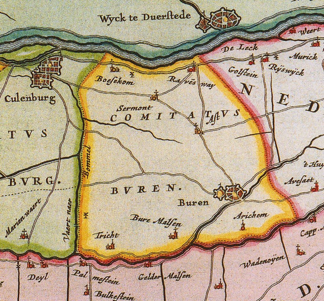
| Beschrijving |
English: Map of the county of Buren
Nederlands: Kaart van de graafschap Buren |
||||||||||||||||||||||||||
| Datum | |||||||||||||||||||||||||||
| Bron | Atlas Maior | ||||||||||||||||||||||||||
| Auteur |
|
||||||||||||||||||||||||||
.jpg)
Licentie
|
Dit werk bevindt zich in het publiek domein in landen en gebieden waar de auteursrechttermijn het leven van de auteur plus 100 jaar of minder is. | |
| Van dit bestand is vastgesteld dat er geen bekende auteursrechtaanspraken op rusten, alle aanverwante en naburige rechten daarbij inbegrepen. | |
Bestandsgeschiedenis
Klik op een datum/tijd om het bestand te zien zoals het destijds was.
| Datum/tijd | Miniatuur | Afmetingen | Gebruiker | Opmerking | |
|---|---|---|---|---|---|
| huidige versie | 12 dec 2010 13:06 | | 1.291 × 1.202 (567 kB) | Joostik | {{Information |Description={{en|1=Map of the county of Buren}} {{nl|1=Kaart van de graafschap Buren}} |Source=Atlas Maior |Author=Joan Blaeu |Date=1665 |Permission= |other_versions= }} Category:History of the Netherlands |
Bestandsgebruik
Dit bestand wordt op de volgende pagina gebruikt:
Globaal bestandsgebruik
De volgende andere wiki's gebruiken dit bestand:
- Gebruikt op ar.wikipedia.org
- Gebruikt op ca.wikipedia.org
- Gebruikt op de.wikipedia.org
- Gebruikt op en.wikipedia.org
- Gebruikt op fr.wikipedia.org
- Gebruikt op li.wikipedia.org
- Gebruikt op nds-nl.wikipedia.org
- Gebruikt op ru.wikipedia.org
- Gebruikt op sl.wikipedia.org