
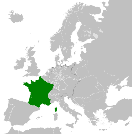
Bestand:French Kingdom within Europe 1839.svg

Afmetingen van deze voorvertoning van het type PNG van dit SVG-bestand: 450 × 456 pixels Andere resoluties: 237 × 240 pixels | 474 × 480 pixels | 758 × 768 pixels | 1.011 × 1.024 pixels | 2.021 × 2.048 pixels.
Oorspronkelijk bestand (SVG-bestand, nominaal 450 × 456 pixels, bestandsgrootte: 806 kB)
| Dit is een bestand van Wikimedia Commons. Onderstaande beschrijving komt van de beschrijving van het bestand daar. |
Beschrijving


.svg)
.svg)
.svg)
.svg)
.svg)


.svg)
.svg)
.svg)


.png)
.png)


.svg)


.svg)

.svg)


.svg)
.svg)
.svg)
.svg)


.svg)
.png)


.svg)


.svg)
.svg)


.svg)


.svg)


.svg)
.svg)
.svg)
.svg)
.svg)
.svg)
.svg)
_cropped.svg)
.svg)
.svg)
.svg)
.svg)
.svg)
.svg)
.svg)
.svg)
.svg)
.svg)
.svg)
.svg)
.svg)
.svg)
.svg)
.svg)
.svg)
.svg)
.svg)
.svg)
.svg)
.svg)
.svg)
.svg)
.svg)
.svg)
.svg)
.svg)
.svg)
.svg)
.svg)
.svg)
.svg)
.svg)
.svg)
.svg)
.svg)
.svg)
.svg)
.svg)
.svg)
.svg)
.svg)
.svg)
.svg)
Licentie
Ik, de auteursrechthebbende van dit werk, maak het hierbij onder de volgende licentie beschikbaar:
Dit bestand is gelicenseerd onder de Creative Commons Naamsvermelding-GelijkDelen 4.0 Internationaal licentie.
- De gebruiker mag:
- Delen – het werk kopiëren, verspreiden en doorgeven
- Remixen – afgeleide werken maken
- Onder de volgende voorwaarden:
- naamsvermelding – U moet op een gepaste manier aan naamsvermelding doen, een link naar de licentie geven, en aangeven of er wijzigingen in het werk zijn aangebracht. U mag dit op elke redelijke manier doen, maar niet zodanig dat de indruk wordt gewekt dat de licentiegever instemt met uw werk of uw gebruik van zijn werk.
- Gelijk delen – Als u het werk heeft geremixt, veranderd, of erop heeft voortgebouwd, moet u het gewijzigde materiaal verspreiden onder dezelfde licentie als het oorspronkelijke werk, of een daarmee compatibele licentie.
Bestandsgeschiedenis
Klik op een datum/tijd om het bestand te zien zoals het destijds was.
| Datum/tijd | Miniatuur | Afmetingen | Gebruiker | Opmerking | |
|---|---|---|---|---|---|
| huidige versie | 31 mei 2016 07:33 | | 450 × 456 (806 kB) | Alphathon | Minor corrections (Tarasp and post-181 German Confederation border change) |
| 14 jul 2015 09:47 |  | 450 × 456 (754 kB) | Elevatorrailfan | User created page with UploadWizard |
Bestandsgebruik
Dit bestand wordt op de volgende pagina gebruikt:
Globaal bestandsgebruik
De volgende andere wiki's gebruiken dit bestand:
- Gebruikt op azb.wikipedia.org
- Gebruikt op az.wikipedia.org
- Gebruikt op bn.wikipedia.org
- Gebruikt op ca.wikipedia.org
- Gebruikt op cs.wikipedia.org
- Gebruikt op el.wikipedia.org
- Gebruikt op en.wikipedia.org
- Gebruikt op eo.wikipedia.org
- Gebruikt op es.wikipedia.org
- Gebruikt op et.wikipedia.org
- Gebruikt op fa.wikipedia.org
- Gebruikt op fi.wikipedia.org
- Gebruikt op fr.wikipedia.org
- Gebruikt op he.wikipedia.org
- Gebruikt op hi.wikipedia.org
- Gebruikt op hr.wikipedia.org
- Gebruikt op id.wikipedia.org
- Gebruikt op is.wikipedia.org
- Gebruikt op it.wikipedia.org
- Gebruikt op ja.wikipedia.org
- Gebruikt op ka.wikipedia.org
- Gebruikt op ko.wikipedia.org
- Gebruikt op lv.wikipedia.org
- Gebruikt op mk.wikipedia.org
- Gebruikt op mt.wikipedia.org
- Gebruikt op pnb.wikipedia.org
- Gebruikt op pt.wikipedia.org
- Gebruikt op ru.wikipedia.org
- Gebruikt op simple.wikipedia.org
- Gebruikt op sl.wikipedia.org
- Gebruikt op sq.wikipedia.org
- Gebruikt op sr.wikipedia.org
- Gebruikt op th.wikipedia.org
Globaal gebruik van dit bestand bekijken.