
Bestand:Greenlee County Incorporated and Unincorporated areas.svg

Afmetingen van deze voorvertoning van het type PNG van dit SVG-bestand: 240 × 600 pixels Andere resoluties: 96 × 240 pixels | 192 × 480 pixels | 307 × 768 pixels | 409 × 1.024 pixels | 819 × 2.048 pixels | 400 × 1.000 pixels.
Oorspronkelijk bestand (SVG-bestand, nominaal 400 × 1.000 pixels, bestandsgrootte: 21 kB)
| Dit is een bestand van Wikimedia Commons. Onderstaande beschrijving komt van de beschrijving van het bestand daar. |
Beschrijving
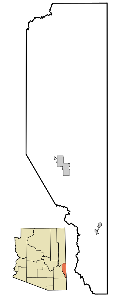
| Beschrijving | This map shows the incorporated areas and unincorporated areas in Greenlee County, Arizona. Incorporated cities are shown in gray and unincorporated communities or CDPs are shown in white. Data for the borders and locations are based on maps from the US Census Bureau TIGER Map Server. I created this map in Inkscape. |
| Datum | |
| Bron | My own work, based on public domain information |
| Auteur | Ixnayonthetimmay |
| Andere versies | See Maps of Greenlee County for other versions of this image. |
| SVG ontwikkeling | De broncode van dit SVG-bestand is deugdelijk. |
Licentie
| Ik, de auteursrechthebbende van dit werk, geef dit werk vrij in het publieke domein. Dit is wereldwijd van toepassing. In sommige landen is dit wettelijk niet mogelijk; in die gevallen geldt: Ik sta iedereen toe dit werk voor eender welk doel te gebruiken, zonder enige voorwaarden, tenzij zulke voorwaarden door de wet worden voorgeschreven. |
Bestandsgeschiedenis
Klik op een datum/tijd om het bestand te zien zoals het destijds was.
| Datum/tijd | Miniatuur | Afmetingen | Gebruiker | Opmerking | |
|---|---|---|---|---|---|
| huidige versie | 12 okt 2014 05:31 | 400 × 1.000 (21 kB) | Wereldburger758 | Valid SVG now. | |
| 6 mrt 2007 21:10 | 400 × 1.000 (76 kB) | Ixnayonthetimmay | {{Information |Description=This map shows the incorporated areas and unincorporated areas in Greenlee County, Arizona. Incorporated cities are shown in gray | ||
| 6 mrt 2007 21:08 | 400 × 1.000 (76 kB) | Ixnayonthetimmay | {{Information |Description=This map shows the incorporated areas and unincorporated areas in Greenlee County, Arizona. Incorporated cities are shown in gray | ||
| 6 mrt 2007 05:19 | 400 × 1.000 (46 kB) | Ixnayonthetimmay | {{Information |Description=This map shows the incorporated areas and unincorporated areas in Greenlee County, Arizona. Incorporated cities are shown in gray |
Bestandsgebruik
Dit bestand wordt op de volgende pagina gebruikt:
Globaal bestandsgebruik
De volgende andere wiki's gebruiken dit bestand:
- Gebruikt op en.wikipedia.org
- Gebruikt op ja.wikipedia.org