
Bestand:Inner-Perth-map.png
Grootte van deze voorvertoning: 693 × 599 pixels. Andere resoluties: 278 × 240 pixels | 555 × 480 pixels | 888 × 768 pixels | 1.171 × 1.013 pixels.
Oorspronkelijk bestand (1.171 × 1.013 pixels, bestandsgrootte: 337 kB, MIME-type: image/png)
| Dit is een bestand van Wikimedia Commons. Onderstaande beschrijving komt van de beschrijving van het bestand daar. |
Beschrijving
| Beschrijving |
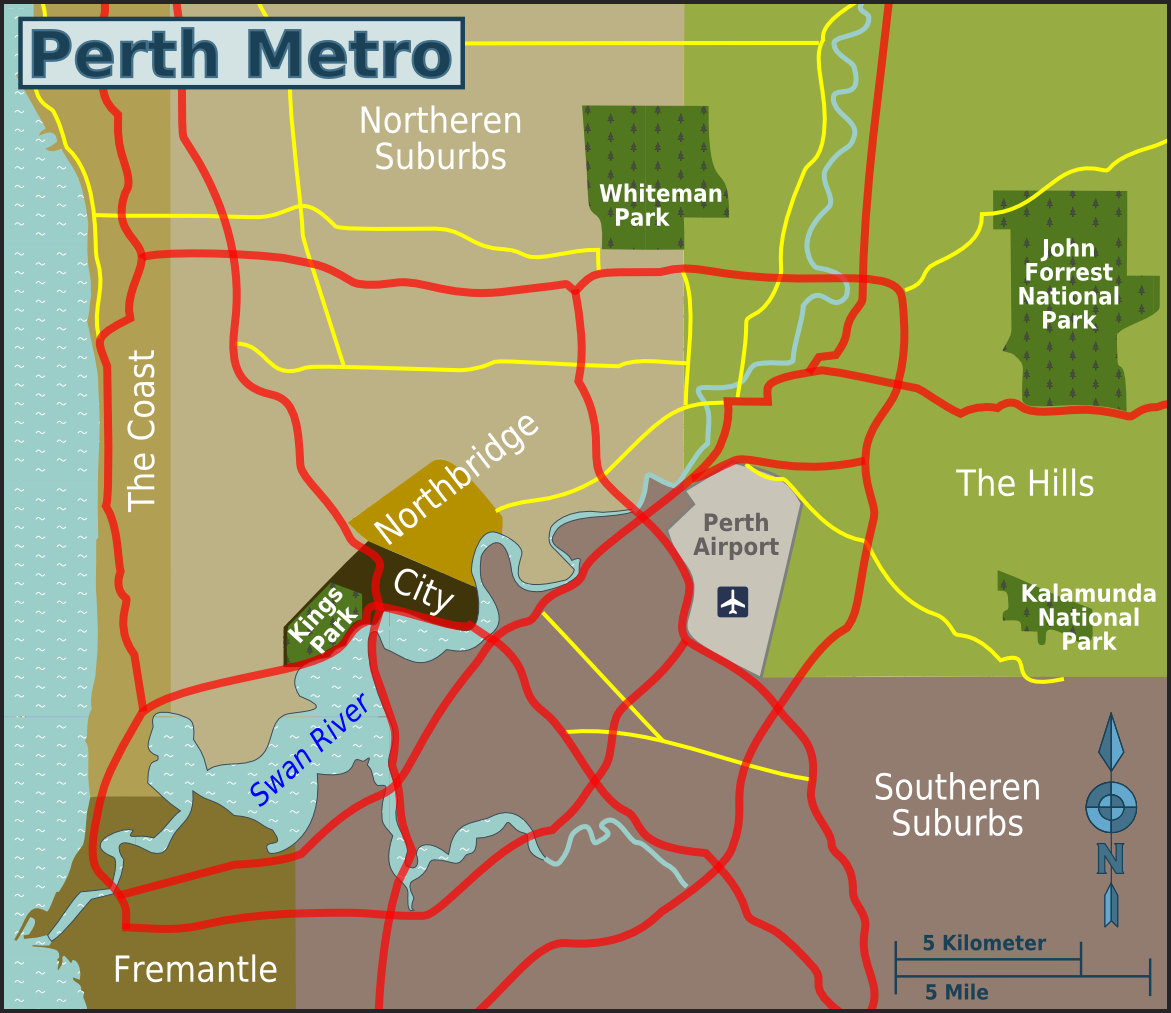
English: Map of Perth districts. |
| Datum | |
| Bron | image:Inner-Perth-map.svg |
| Auteur | user:cardboardbird, OpenStreetMap [1] |
Licentie
This file is licensed under the Creative Commons Attribution-Share Alike 4.0 International, 3.0 Unported, 2.5 Generic, 2.0 Generic and 1.0 Generic license.
- De gebruiker mag:
- Delen – het werk kopiëren, verspreiden en doorgeven
- Remixen – afgeleide werken maken
- Onder de volgende voorwaarden:
- naamsvermelding – U moet op een gepaste manier aan naamsvermelding doen, een link naar de licentie geven, en aangeven of er wijzigingen in het werk zijn aangebracht. U mag dit op elke redelijke manier doen, maar niet zodanig dat de indruk wordt gewekt dat de licentiegever instemt met uw werk of uw gebruik van zijn werk.
- Gelijk delen – Als u het werk heeft geremixt, veranderd, of erop heeft voortgebouwd, moet u het gewijzigde materiaal verspreiden onder dezelfde licentie als het oorspronkelijke werk, of een daarmee compatibele licentie.
Oorspronkelijk uploadlogboek
| This file was imported from Wikivoyage WTS. |
De oorspronkelijke beschrijving van deze afbeelding stond hier. Alle volgende gebruikersnamen verwijzen naar wts.wikivoyage-old.
- 2010-06-17 15:41 (WT-shared) Cardboardbird[dead link] 1171×1013 (343580 bytes) {{Imagecredit|credit=user:cardboardbird, OpenStreetMap [http://openstreetmap.org] |captureDate=17 June 2010|location=Perth|source=image:Inne (Import from wikitravel.org/shared)
- 2010-06-18 07:39 (WT-shared) Cardboardbird[dead link] 1171×1013 (345432 bytes) A couple small changes to names (Import from wikitravel.org/shared)
Bestandsgeschiedenis
Klik op een datum/tijd om het bestand te zien zoals het destijds was.
| Datum/tijd | Miniatuur | Afmetingen | Gebruiker | Opmerking | |
|---|---|---|---|---|---|
| huidige versie | 14 dec 2012 06:00 | | 1.171 × 1.013 (337 kB) | OgreBot | (BOT): Reverting to most recent version before archival |
| 14 dec 2012 06:00 |  | 1.171 × 1.013 (336 kB) | OgreBot | (BOT): Uploading old version of file from wts.wikivoyage; originally uploaded on 2010-06-17 15:41:24 by (WT-shared) Cardboardbird | |
| 18 nov 2012 02:11 |  | 1.171 × 1.013 (337 kB) | MGA73bot2 | {{BotMoveToCommons|wts.oldwikivoyage|year={{subst:CURRENTYEAR}}|month={{subst:CURRENTMONTHNAME}}|day={{subst:CURRENTDAY}}}} == {{int:filedesc}} == {{Information |description=Map of Inner-Perth. Map of Perth districts, Perth * Map of: Perth¤ |date=17 J... |
Bestandsgebruik
Dit bestand wordt op de volgende pagina gebruikt:
Globaal bestandsgebruik
De volgende andere wiki's gebruiken dit bestand:
- Gebruikt op en.wikivoyage.org