
Bestand:Mapa loc Arica y Parinacota.svg

Oorspronkelijk bestand (SVG-bestand, nominaal 400 × 600 pixels, bestandsgrootte: 1,12 MB)
| Dit is een bestand van Wikimedia Commons. Onderstaande beschrijving komt van de beschrijving van het bestand daar. |
| Beschrijving |
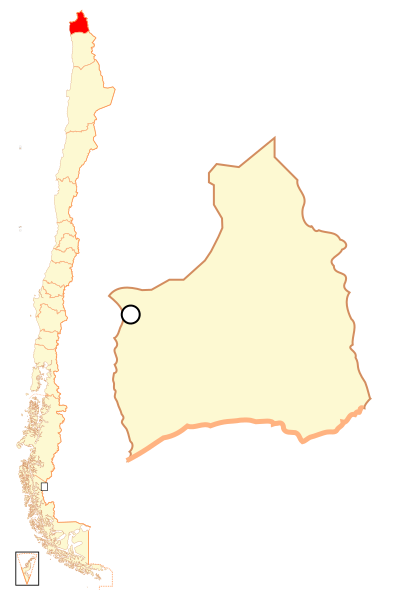
Español: Mapa localizador de la XV Región de Arica y Parinacota |
| Datum | |
| Bron | Eigen werk |
| Auteur | B1mbo |
| Toestemming (Hergebruik van dit bestand) |
Ik, de auteursrechthebbende van dit werk, maak het hierbij onder de volgende licentie beschikbaar: Dit bestand is gelicenseerd onder de Creative Commons-licentie Naamsvermelding-Gelijk delen 2.5 Unported
|
| Legal disclaimer
The edition and circulation of maps, geographic charts and other documents about the boundaries and frontiers of Chile, don't have any relation with the Republic of Chile, according to the Article 2 g) of DFL Nº83 of 1979 of the Ministery of Foreign Affairs. La edición y circulación de mapas, cartas geográficas y otros documentos sobre los límites y fronteras de Chile no tienen relación alguna con la República de Chile de acuerdo al artículo 2 g) del DFL Nº83 de 1979 del Ministerio de Relaciones Exteriores. |
Bestandsgeschiedenis
Klik op een datum/tijd om het bestand te zien zoals het destijds was.
| Datum/tijd | Miniatuur | Afmetingen | Gebruiker | Opmerking | |
|---|---|---|---|---|---|
| huidige versie | 6 sep 2018 00:36 | | 400 × 600 (1,12 MB) | Janitoalevic | Ñuble Region |
| 21 aug 2017 01:14 |  | 400 × 600 (1.019 kB) | Janitoalevic | Reverted to version as of 01:59, 6 October 2007 (UTC) | |
| 20 aug 2017 06:17 |  | 400 × 600 (1,05 MB) | Janitoalevic | Added Ñuble Region | |
| 6 okt 2007 03:59 |  | 400 × 600 (1.019 kB) | B1mbo | {{Information |Description= {{es|Mapa localizador de la XIV Región de Arica y Parinacota}} |Source=own work |Date=5 de octubre, 2007 |Author=B1mbo |Permission={{self|cc-by-sa-2.5}} |other_versions= |
Bestandsgebruik
Dit bestand wordt op de volgende pagina gebruikt:
Globaal bestandsgebruik
De volgende andere wiki's gebruiken dit bestand:
- Gebruikt op ba.wikipedia.org
- Gebruikt op bg.wikipedia.org
- Gebruikt op da.wikipedia.org
- Gebruikt op de.wikipedia.org
- Gebruikt op diq.wikipedia.org
- Gebruikt op en.wikipedia.org
- Gebruikt op es.wikipedia.org
- Gebruikt op eu.wikipedia.org
- Gebruikt op frr.wikipedia.org
- Gebruikt op hr.wikipedia.org
- Gebruikt op it.wikipedia.org
- Gebruikt op ja.wikipedia.org
- Gebruikt op ka.wikipedia.org
- Gebruikt op ko.wikipedia.org
- Gebruikt op lad.wikipedia.org
- Gebruikt op lt.wikipedia.org
- Gebruikt op no.wikipedia.org
- Gebruikt op pl.wikipedia.org
- Gebruikt op pt.wikipedia.org
- Gebruikt op qu.wikipedia.org
- Gebruikt op rm.wikipedia.org
- Gebruikt op ru.wikipedia.org
Globaal gebruik van dit bestand bekijken.