
Bestand:Netherlands Antilles (Leeward Islands) location map.svg

Afmetingen van deze voorvertoning van het type PNG van dit SVG-bestand: 300 × 599 pixels Andere resoluties: 120 × 240 pixels | 240 × 480 pixels | 384 × 768 pixels | 513 × 1.024 pixels | 1.026 × 2.048 pixels | 1.102 × 2.200 pixels.
Oorspronkelijk bestand (SVG-bestand, nominaal 1.102 × 2.200 pixels, bestandsgrootte: 42 kB)
| Dit is een bestand van Wikimedia Commons. Onderstaande beschrijving komt van de beschrijving van het bestand daar. |
_location_map.svg)
Beschrijving
| Beschrijving |
Deutsch: de|1=Positionskarte der Niederländische Antillen (Inseln über dem Winde)
Quadratische Plattkarte, N-S-Streckung 107 %, Geographische Begrenzung der Karte:
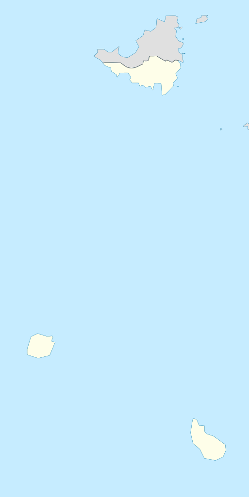
English: Location map of the Netherlands Antilles (Leeward Islands)
Equirectangular projection, N/S stretching 107 %, Geographic limits of the map:
|
| Datum | |
| Bron | Eigen werk |
| Auteur | Rosso Robot |
| SVG ontwikkeling | De broncode van dit SVG-bestand is deugdelijk. |

|
Deze kaart is gemaakt of verbeterd in de Duitse Kartenwerkstatt (Map Lab). Je kunt ook zelf kaarten ter verbetering voorstellen.
|
Licentie
Ik, de auteursrechthebbende van dit werk, maak het hierbij onder de volgende licenties beschikbaar:
Dit bestand is gelicenseerd onder de Creative Commons-licentie Naamsvermelding-Gelijk delen 3.0 Unported
- De gebruiker mag:
- Delen – het werk kopiëren, verspreiden en doorgeven
- Remixen – afgeleide werken maken
- Onder de volgende voorwaarden:
- naamsvermelding – U moet op een gepaste manier aan naamsvermelding doen, een link naar de licentie geven, en aangeven of er wijzigingen in het werk zijn aangebracht. U mag dit op elke redelijke manier doen, maar niet zodanig dat de indruk wordt gewekt dat de licentiegever instemt met uw werk of uw gebruik van zijn werk.
- Gelijk delen – Als u het werk heeft geremixt, veranderd, of erop heeft voortgebouwd, moet u het gewijzigde materiaal verspreiden onder dezelfde licentie als het oorspronkelijke werk, of een daarmee compatibele licentie.

|
Toestemming wordt verleend voor het kopiëren, verspreiden en/of wijzigen van dit document onder de voorwaarden van de GNU-licentie voor vrije documentatie, versie 1.2 of enige latere versie als gepubliceerd door de Free Software Foundation; zonder Invariant Sections, zonder Front-Cover Texts, en zonder Back-Cover Texts. Een kopie van de licentie is opgenomen in de sectie GNU-licentie voor vrije documentatie. |
U mag zelf één van de licenties kiezen.
Bestandsgeschiedenis
Klik op een datum/tijd om het bestand te zien zoals het destijds was.
| Datum/tijd | Miniatuur | Afmetingen | Gebruiker | Opmerking | |
|---|---|---|---|---|---|
| huidige versie | 13 jun 2009 16:55 | | 1.102 × 2.200 (42 kB) | Rosso Robot | (c) |
| 13 jun 2009 16:51 |  | 1.102 × 2.200 (42 kB) | Rosso Robot | (c) | |
| 13 jun 2009 16:42 |  | 1.102 × 2.200 (52 kB) | Rosso Robot | solved trace error | |
| 12 jun 2009 12:45 |  | 1.102 × 2.200 (122 kB) | Rosso Robot | cropped map | |
| 12 jun 2009 12:38 |  | 2.200 × 2.200 (122 kB) | Rosso Robot | {{Information |Description={{de|1=de|1=Positionskarte der Niederländische Antillen (Inseln über dem Winde) Quadratische Plattkarte, N-S-Streckung 107 %, Geographische Begrenzun |
Bestandsgebruik
Dit bestand wordt op de volgende 2 pagina's gebruikt:
Globaal bestandsgebruik
De volgende andere wiki's gebruiken dit bestand:
- Gebruikt op ar.wikipedia.org
- Gebruikt op ast.wikipedia.org
- Gebruikt op be.wikipedia.org
- Gebruikt op ceb.wikipedia.org
- Gebruikt op de.wikipedia.org
- Liste der Nationalparks im Königreich der Niederlande
- Mount Scenery
- Wikipedia:Kartenwerkstatt/Positionskarten/Nordamerika
- Juancho E. Yrausquin Airport
- Green Island (Saba)
- The Quill (Vulkan)
- Vorlage:Positionskarte Niederländische Antillen (Inseln über dem Winde)
- Wikipedia:Kartenwerkstatt/Archiv/2009-06
- Wikipedia Diskussion:WikiProjekt Georeferenzierung/Archiv/2017-I
- Saba National Marine Park
- Fort Bay
- Ladder Bay
- Gebruikt op el.wikipedia.org
- Gebruikt op en.wikipedia.org
- Gebruikt op eo.wikipedia.org
- Gebruikt op fa.wikipedia.org
- Gebruikt op fr.wikipedia.org
- Saba
- Saint-Eustache (Antilles)
- The Bottom
- Oranjestad (Saint-Eustache)
- Mont Scenery
- Quill (volcan)
- Modèle:Géolocalisation/Îles SSS
- Windwardside
- Zion's Hill
- Aéroport Juancho E. Yrausquin
- Phare d'Oranjestad
- Phare de St. John's
- Phare de Klein Curaçao
- Fort Willem I
- Fort Amsterdam (Saint-Martin)
- Musée Harry L. Johnson de Windwardside
- Église du Saint-Rosaire de Zion's Hill
- Église de la Conversion-de-Saint-Paul de Windwardside
Globaal gebruik van dit bestand bekijken.
_location_map.svg)
_location_map.svg)