
Bestand:Saarland location map G.svg

Afmetingen van deze voorvertoning van het type PNG van dit SVG-bestand: 658 × 540 pixels Andere resoluties: 293 × 240 pixels | 585 × 480 pixels | 936 × 768 pixels | 1.248 × 1.024 pixels | 2.496 × 2.048 pixels.
Oorspronkelijk bestand (SVG-bestand, nominaal 658 × 540 pixels, bestandsgrootte: 192 kB)
| Dit is een bestand van Wikimedia Commons. Onderstaande beschrijving komt van de beschrijving van het bestand daar. |
| Beschrijving |
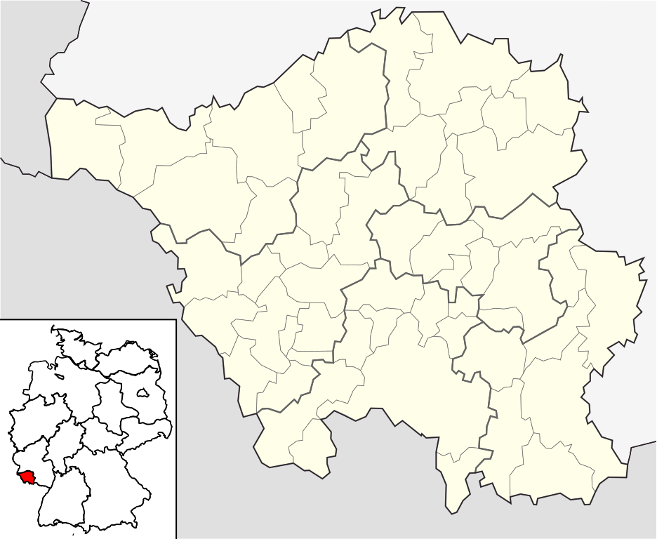
English: Position map of the state of Saarland, showing position of Saarland within Germany with the six disticts and fiftytwo municipalities
Geographic limits of the map: * N: 49.65° N * S: 49.09° N * W: 6.3° E * E: 7.405° E Deutsch: Positionskarte vom Bundesland Saarland, einschl. der Lage innerhalb Deutschlands, mit seinen sechs Kreisen und 52 Gemeinden Quadratische Plattkarte. Geographische Begrenzung der Karte: * N: 49.65° N * S: 49.09° N * W: 6.3° E * E: 7.405° E |
| Datum | |
| Bron | own work based on File:Saarland location map.svg |
| Auteur | Hanhil based on work by Lantus |
Licentie
Ik, de auteursrechthebbende van dit werk, maak het hierbij onder de volgende licentie beschikbaar:
Dit bestand is gelicenseerd onder de Creative Commons-licentie Naamsvermelding-Gelijk delen 3.0 Unported
- De gebruiker mag:
- Delen – het werk kopiëren, verspreiden en doorgeven
- Remixen – afgeleide werken maken
- Onder de volgende voorwaarden:
- naamsvermelding – U moet op een gepaste manier aan naamsvermelding doen, een link naar de licentie geven, en aangeven of er wijzigingen in het werk zijn aangebracht. U mag dit op elke redelijke manier doen, maar niet zodanig dat de indruk wordt gewekt dat de licentiegever instemt met uw werk of uw gebruik van zijn werk.
- Gelijk delen – Als u het werk heeft geremixt, veranderd, of erop heeft voortgebouwd, moet u het gewijzigde materiaal verspreiden onder dezelfde licentie als het oorspronkelijke werk, of een daarmee compatibele licentie.
Bestandsgeschiedenis
Klik op een datum/tijd om het bestand te zien zoals het destijds was.
| Datum/tijd | Miniatuur | Afmetingen | Gebruiker | Opmerking | |
|---|---|---|---|---|---|
| huidige versie | 31 mei 2009 01:12 | | 658 × 540 (192 kB) | Michiel1972 | frame |
| 22 mei 2009 10:55 |  | 658 × 540 (188 kB) | Hanhil | {{Information |Description={{en|1=Position map of the state of Saarland, showing position of Saarland within Germany with the six disticts and fiftytwo municipalities<br> Geographic limits of the map: * N: 49.65° N * S: 49.09° N * W: 6.3 |
Bestandsgebruik
Geen enkele pagina gebruikt dit bestand.
Globaal bestandsgebruik
De volgende andere wiki's gebruiken dit bestand:
- Gebruikt op de.wikivoyage.org
- Gebruikt op fa.wikipedia.org
- Gebruikt op ja.wikipedia.org
- Gebruikt op ka.wikipedia.org
- Gebruikt op ko.wikipedia.org
- Gebruikt op no.wikipedia.org
- Gebruikt op pl.wikipedia.org
- Saarbrücken
- Neunkirchen (Saara)
- Port lotniczy Saarbrücken
- Huta żelaza w Völklingen
- Saarbrücken Hauptbahnhof
- Dillingen/Saar
- Merzig
- Wadern
- Merzig (Saar)
- Merzig (Saar) Stadtmitte
- Saarbrücken-Burbach
- St. Wendel
- Ottweiler
- Homburg (Saar) Hauptbahnhof
- St. Ingbert
- Homburg
- Saarlouis
- Friedrichsthal
- St. Ingbert (stacja kolejowa)
- Beckingen (stacja kolejowa)
- Völklingen
- Lebach
- Bethingen
- Dreisbach (Mettlach)
- Faha
- Weiten (Mettlach)
- Nohn (Mettlach)
- Püttlingen
- Bexbach
- Orscholz
- Saarhölzbach (Mettlach)
- Tünsdorf
- Wehingen (Mettlach)
- Uniwersytet Kraju Saary
- Blieskastel
- Szablon:Państwo dane Saara
- Sulzbach/Saar
- Karlsberg Brauerei
- Lotnisko Saarlouis-Düren
Globaal gebruik van dit bestand bekijken.