
Bestand:Valga maakond.svg

Afmetingen van deze voorvertoning van het type PNG van dit SVG-bestand: 800 × 576 pixels Andere resoluties: 320 × 230 pixels | 640 × 460 pixels | 1.024 × 737 pixels | 1.280 × 921 pixels | 2.560 × 1.842 pixels | 884 × 636 pixels.
Oorspronkelijk bestand (SVG-bestand, nominaal 884 × 636 pixels, bestandsgrootte: 450 kB)
| Dit is een bestand van Wikimedia Commons. Onderstaande beschrijving komt van de beschrijving van het bestand daar. |
Beschrijving
| Beschrijving |
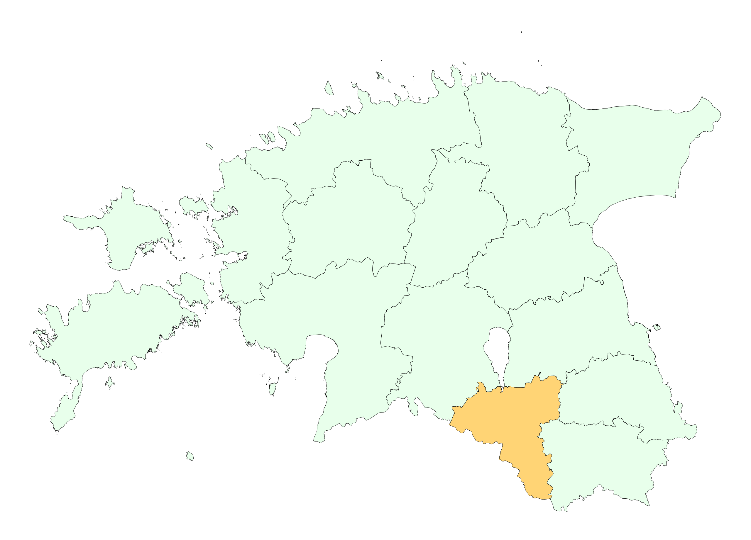
English: Location of Valga county |
||
| Datum | |||
| Bron | re-creating the file | ||
| Auteur | Estonian Land Board | ||
| Toestemming (Hergebruik van dit bestand) |
|
Licentie

|
This map uses administrative map from Estonian Land Board (1.2006) as its data source. Reproduction is authorised, provided the data source is acknowledged and validity date is provided.
Eesti: Andmete kasutamisel tuleb viitena ära märkida andmeallikana Maa-amet ning viidata andmete seisule.
|
Bestandsgeschiedenis
Klik op een datum/tijd om het bestand te zien zoals het destijds was.
| Datum/tijd | Miniatuur | Afmetingen | Gebruiker | Opmerking | |
|---|---|---|---|---|---|
| huidige versie | 24 apr 2009 15:20 | | 884 × 636 (450 kB) | Mmh | {{Information |Description={{en|1=Location of Valga county}} |Source=re-creating the file |Author=Estonian Land Board |Date=2006 |Permission={{EST-Land Board|1.2006}} |other_versions= }} <!--{{ImageUpload|full}}--> [[Category:Locator maps of counties of |
Bestandsgebruik
Geen enkele pagina gebruikt dit bestand.
Globaal bestandsgebruik
De volgende andere wiki's gebruiken dit bestand:
- Gebruikt op be-tarask.wikipedia.org
- Gebruikt op be.wikipedia.org
- Gebruikt op et.wikipedia.org
- Gebruikt op hr.wikipedia.org
- Gebruikt op hu.wikipedia.org
- Gebruikt op ko.wikipedia.org
- Gebruikt op kw.wikipedia.org
- Gebruikt op nn.wikipedia.org
- Gebruikt op pt.wikipedia.org
- Gebruikt op se.wikipedia.org
- Gebruikt op vo.wikipedia.org