
Bestand:Zakynthos-nasa.png
Grootte van deze voorvertoning: 690 × 599 pixels. Andere resoluties: 276 × 240 pixels | 553 × 480 pixels | 884 × 768 pixels | 1.135 × 986 pixels.
Oorspronkelijk bestand (1.135 × 986 pixels, bestandsgrootte: 1,58 MB, MIME-type: image/png)
| Dit is een bestand van Wikimedia Commons. Onderstaande beschrijving komt van de beschrijving van het bestand daar. |
Beschrijving
| Beschrijving |
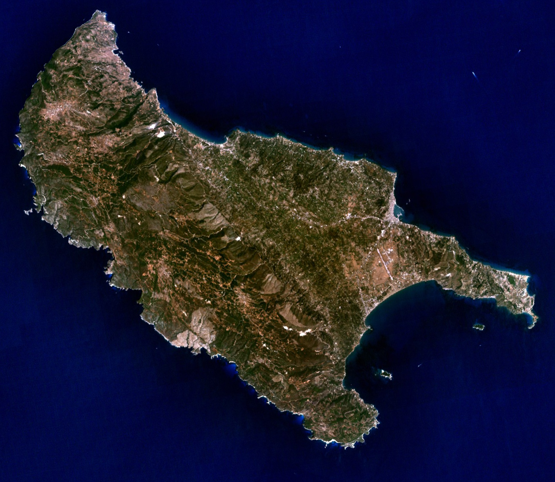
English: Greek Island Zakynthos. Satellite picture. |
| Datum | 13 augustus 2005 (uploaddatum) |
| Bron | Satellite imagery taken from NASA World Wind software (by screenshot) |
| Auteur | NASA |
Licentie
| Deze afbeelding bevindt zich in het publiek domein omdat het een screenshot is van NASA’s software World Wind die gebruik maakt van een publiek domein-laag, zoals Blue Marble, MODIS, Landsat, SRTM, USGS of GLOBE.
|
 |
Bestandsgeschiedenis
Klik op een datum/tijd om het bestand te zien zoals het destijds was.
| Datum/tijd | Miniatuur | Afmetingen | Gebruiker | Opmerking | |
|---|---|---|---|---|---|
| huidige versie | 13 aug 2005 14:16 | | 1.135 × 986 (1,58 MB) | WL~commonswiki | Greek Island Zakynthos, produced with NASA World Wind. category:Greek Islands category:Maps of Greece {{PD-USGov-NASA}} |
Bestandsgebruik
Dit bestand wordt op de volgende pagina gebruikt:
Globaal bestandsgebruik
De volgende andere wiki's gebruiken dit bestand:
- Gebruikt op ab.wikipedia.org
- Gebruikt op ar.wikipedia.org
- Gebruikt op arz.wikipedia.org
- Gebruikt op be-tarask.wikipedia.org
- Gebruikt op be.wikipedia.org
- Gebruikt op bg.wikipedia.org
- Gebruikt op br.wikipedia.org
- Gebruikt op ca.wikipedia.org
- Gebruikt op ceb.wikipedia.org
- Gebruikt op cy.wikipedia.org
- Gebruikt op de.wikipedia.org
- Gebruikt op de.wikivoyage.org
- Gebruikt op en.wikipedia.org
- Gebruikt op en.wikivoyage.org
- Gebruikt op eo.wikipedia.org
- Gebruikt op es.wikipedia.org
- Gebruikt op eu.wikipedia.org
- Gebruikt op fr.wikivoyage.org
- Gebruikt op gl.wikipedia.org
- Gebruikt op he.wikivoyage.org
- Gebruikt op hu.wikipedia.org
- Gebruikt op hy.wikipedia.org
- Gebruikt op id.wikipedia.org
- Gebruikt op incubator.wikimedia.org
- Gebruikt op it.wikipedia.org
- Gebruikt op it.wikivoyage.org
- Gebruikt op lb.wikipedia.org
- Gebruikt op lv.wikipedia.org
- Gebruikt op nds-nl.wikipedia.org
- Gebruikt op pt.wikipedia.org
- Gebruikt op ro.wikipedia.org
- Gebruikt op ru.wikipedia.org
- Gebruikt op uk.wikipedia.org
- Gebruikt op www.wikidata.org