
Bestand:1929 New England road map.jpg

Oorspronkelijk bestand (5.289 × 3.489 pixels, bestandsgrootte: 3,41 MB, MIME-type: image/jpeg)
| Dit is een bestand van Wikimedia Commons. Onderstaande beschrijving komt van de beschrijving van het bestand daar. |
Beschrijving
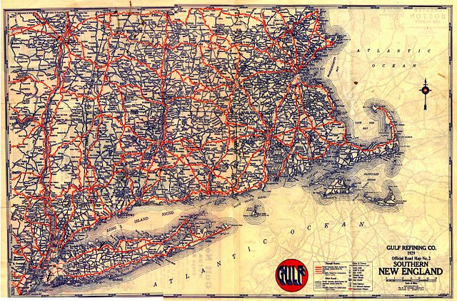
A 1929 road map of New England.
Scanned by Chris Mason, provided by John MacGregor.
Licentie
|
Dit werk bevindt zich in het publiek domein in landen en gebieden waar de auteursrechttermijn het leven van de auteur plus 70 jaar of minder is.
| |
| Van dit bestand is vastgesteld dat er geen bekende auteursrechtaanspraken op rusten, alle aanverwante en naburige rechten daarbij inbegrepen. | |
Anything published in the U.S. before 1964 had to have its copyright renewed; a search of copyright renewal records archief kopie op de Wayback Machine for Gousha (the map company) gives nothing in New England.
Bestandsgeschiedenis
Klik op een datum/tijd om het bestand te zien zoals het destijds was.
| Datum/tijd | Miniatuur | Afmetingen | Gebruiker | Opmerking | |
|---|---|---|---|---|---|
| huidige versie | 5 mrt 2005 06:41 | | 5.289 × 3.489 (3,41 MB) | SPUI~commonswiki | {{PD}}A 1929 map of New England. Anything published in the U.S. before 1964 had to be renewed; a search of [http://www.scils.rutgers.edu/~lesk/copyrenew.html] for Gousha (the map company) gives nothing in New England. Scanned by Chris Mason, provided by J |
Bestandsgebruik
Dit bestand wordt op de volgende pagina gebruikt:
Globaal bestandsgebruik
De volgende andere wiki's gebruiken dit bestand:
- Gebruikt op en.wikipedia.org
- Gebruikt op fr.wikipedia.org
- Gebruikt op it.wikiquote.org
- Gebruikt op pl.wikipedia.org