
Bestand:Africa-countries-northern.png
Geen hogere resolutie beschikbaar.
Africa-countries-northern.png (360 × 392 pixels, bestandsgrootte: 10 kB, MIME-type: image/png)
| Dit is een bestand van Wikimedia Commons. Onderstaande beschrijving komt van de beschrijving van het bestand daar. |

|
Bestand:Africa-countries-northern.svg is een vectorversie van dit bestand. Indien niet van slechtere kwaliteit dient deze gebruikt te worden in plaats van deze rasterafbeelding.
File:Africa-countries-northern.png → File:Africa-countries-northern.svg
Zie Help:SVG voor meer informatie. |
 |
Beschrijving
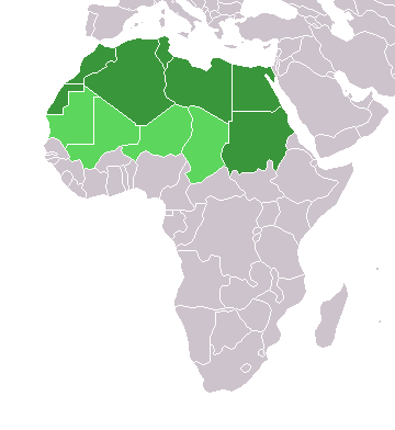
English: Map of countries in geo-political North Africa — as considered by the U.N.
- Credits
from en:Image:Africa-countries-northern.png

|
Toestemming wordt verleend voor het kopiëren, verspreiden en/of wijzigen van dit document onder de voorwaarden van de GNU-licentie voor vrije documentatie, versie 1.2 of enige latere versie als gepubliceerd door de Free Software Foundation; zonder Invariant Sections, zonder Front-Cover Texts, en zonder Back-Cover Texts. Een kopie van de licentie is opgenomen in de sectie GNU-licentie voor vrije documentatie. |
| Dit bestand is gelicenseerd onder de Creative Commons-licentie Naamsvermelding-Gelijk delen 3.0 Unported | ||
| ||
| Deze licentietag is toegevoegd aan dit bestand in verband met de GFDL licentie-update. |
Bestandsgeschiedenis
Klik op een datum/tijd om het bestand te zien zoals het destijds was.
| Datum/tijd | Miniatuur | Afmetingen | Gebruiker | Opmerking | |
|---|---|---|---|---|---|
| huidige versie | 17 mrt 2018 17:22 | | 360 × 392 (10 kB) | Maphobbyist | Montenegro border |
| 31 mrt 2016 23:00 |  | 360 × 392 (10 kB) | Fry1989 | Reverted to version as of 16:12, 13 January 2014 (UTC) | |
| 7 nov 2015 11:37 |  | 360 × 392 (10 kB) | Hpyounes | correction | |
| 13 jan 2014 18:12 |  | 360 × 392 (10 kB) | VVVF | See http://unstats.un.org/unsd/methods/m49/m49regin.htm | |
| 13 jan 2014 17:59 |  | 360 × 392 (13 kB) | VVVF | Reverted to version as of 20:15, 9 July 2011. See http://unstats.un.org/unsd/methods/m49/m49regin.htm | |
| 20 jul 2011 14:47 |  | 360 × 392 (7 kB) | Kahusi | See http://unstats.un.org/unsd/methods/m49/m49regin.htm | |
| 9 jul 2011 22:15 |  | 360 × 392 (13 kB) | Maphobbyist | South Sudan has become independent on July 9, 2011. Sudan and South Sudan are shown with the new international border between them. | |
| 5 mei 2006 13:13 |  | 360 × 392 (4 kB) | Hautala | optimized with png | |
| 20 apr 2005 18:30 |  | 360 × 392 (14 kB) | Yonghokim | map of countries in Northern Africa. from en:Image:Africa-countries-northern.png {{GFDL}} |
Bestandsgebruik
Geen enkele pagina gebruikt dit bestand.
Globaal bestandsgebruik
De volgende andere wiki's gebruiken dit bestand:
- Gebruikt op ce.wikipedia.org
- Gebruikt op es.wikipedia.org
- Gebruikt op fr.wikipedia.org
- Gebruikt op he.wikipedia.org
- Gebruikt op ru.wikipedia.org
- Gebruikt op sc.wikipedia.org
- Gebruikt op sv.wikinews.org