
Bestand:Bahnstrecke Naumburg-Teuchern Karte.png

Oorspronkelijk bestand (2.100 × 1.484 pixels, bestandsgrootte: 4,08 MB, MIME-type: image/png)
| Dit is een bestand van Wikimedia Commons. Onderstaande beschrijving komt van de beschrijving van het bestand daar. |
Beschrijving
| Beschrijving |
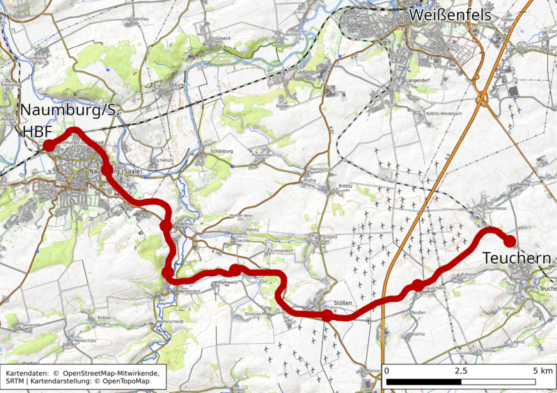
Darstellung Der Bahnstrecke Naumburg-Teuchern in OpenTopoMap - einer topographische Karte aus Daten der OpenStreetMap Deze kaart van Naumburg (Saale) is gemaakt op basis van OpenStreetMap projectgegevens, verzameld door de gemeenschap. Deze kaart kan onvolledig zijn en fouten bevatten. Vertrouw er niet op voor navigatie. |
|||||||||
| Datum | ||||||||||
| Bron | U kunt een pagina vinden op de OpenStreetMap pagina voor OpenTopoMap | |||||||||
| Maker |
OpenTopoMap design, Pomfuttge OpenStreetMap bijdragersDeze PNG rasterafbeelding is gemaakt met QGIS Deze PNG rasterafbeelding is gemaakt met GIMP. |
|||||||||
| Toestemming (Hergebruik van dit bestand) |
OpenStreetMap-gegevens zijn beschikbaar onder de Open Database Licentie (details). Kaarttegels in standaardstijl worden in licentie gegeven als ODbL Produced Works.
|
|||||||||
| Geotemporal data | ||||||||||
| Bounding box |
|
|||||||||
| Georeferencing | If inappropriate please set warp_status = skip to hide. | |||||||||
Licentie
- De gebruiker mag:
- Delen – het werk kopiëren, verspreiden en doorgeven
- Remixen – afgeleide werken maken
- Onder de volgende voorwaarden:
- naamsvermelding – U moet op een gepaste manier aan naamsvermelding doen, een link naar de licentie geven, en aangeven of er wijzigingen in het werk zijn aangebracht. U mag dit op elke redelijke manier doen, maar niet zodanig dat de indruk wordt gewekt dat de licentiegever instemt met uw werk of uw gebruik van zijn werk.
- Gelijk delen – Als u het werk heeft geremixt, veranderd, of erop heeft voortgebouwd, moet u het gewijzigde materiaal verspreiden onder dezelfde licentie als het oorspronkelijke werk, of een daarmee compatibele licentie.
Bestandsgeschiedenis
Klik op een datum/tijd om het bestand te zien zoals het destijds was.
| Datum/tijd | Miniatuur | Afmetingen | Gebruiker | Opmerking | |
|---|---|---|---|---|---|
| huidige versie | 31 mrt 2022 16:56 | | 2.100 × 1.484 (4,08 MB) | Pomfuttge | +License Note |
| 31 mrt 2022 16:08 |  | 2.000 × 1.414 (3,91 MB) | Pomfuttge | {{OpenStreetMap |name =OpenTopoMap |location = Naumburg (Saale) |description = Darstellung Der Bahnstrecke Naumburg-Teuchern in OpenTopoMap - einer topographische Karte aus Daten der OpenStreetMap |top = 51.20 |bottom = 51.08 |left = 11.88 |right = 12.02 |date =2022-03-31 |authors = OpenTopoMap design, Pomfuttge {{Created with QGIS}}{{Created with GIMP}} |other_versions = |warp_status... |
Bestandsgebruik
Dit bestand wordt op de volgende pagina gebruikt:
Globaal bestandsgebruik
De volgende andere wiki's gebruiken dit bestand:
- Gebruikt op de.wikipedia.org