
Bestand:Bhutan relief location map.jpg

Oorspronkelijk bestand (874 × 570 pixels, bestandsgrootte: 361 kB, MIME-type: image/jpeg)
| Dit is een bestand van Wikimedia Commons. Onderstaande beschrijving komt van de beschrijving van het bestand daar. |
Beschrijving
| Beschrijving |
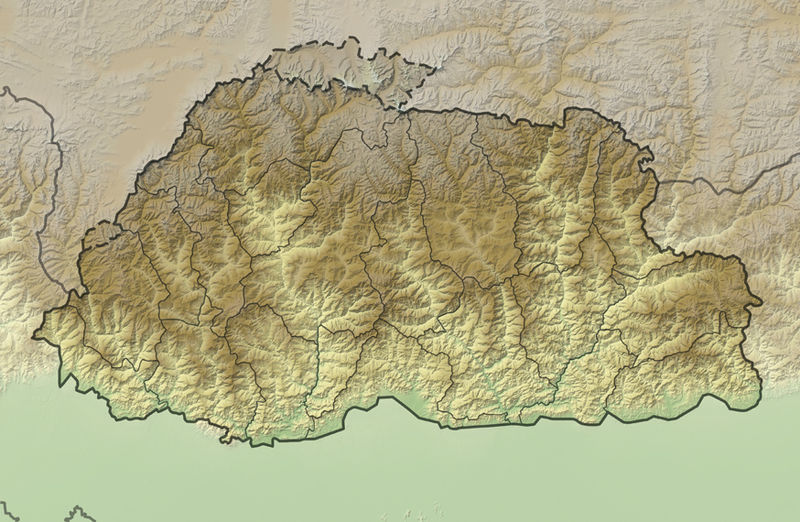
Deutsch: Positionskarte von Bhutan
Quadratische Plattkarte, N-S-Streckung 115 %. Geographische Begrenzung der Karte:
English: Location map of Bhutan
Equirectangular projection, N/S stretching 115 %. Geographic limits of the map:
|
|
| Datum | ||
| Bron |
own work, using
|
|
| Auteur | NordNordWest | |
| Toestemming (Hergebruik van dit bestand) |
Dit bestand is gelicenseerd onder de Creative Commons-licentie Naamsvermelding-Gelijk delen 3.0 Duitsland
 Dit bestand is gelicenseerd onder de Creative Commons-licentie Naamsvermelding-Gelijk delen 3.0 Duitsland
|
|
| Andere versies |
|


|
Deze kaart is gemaakt of verbeterd in de Duitse Kartenwerkstatt (Map Lab). Je kunt ook zelf kaarten ter verbetering voorstellen.
|
Bestandsgeschiedenis
Klik op een datum/tijd om het bestand te zien zoals het destijds was.
| Datum/tijd | Miniatuur | Afmetingen | Gebruiker | Opmerking | |
|---|---|---|---|---|---|
| huidige versie | 2 dec 2011 21:06 | | 874 × 570 (361 kB) | NordNordWest | == {{int:filedesc}} == {{Information |Description= {{de|Positionskarte von Bhutan}} Quadratische Plattkarte, N-S-Streckung 115 %. Geographische Begrenzung der Karte: * N: 28.5° N * S: 26.4° N * W: 88.6° O * O: 92.3° O {{en|Location map |
Bestandsgebruik
Dit bestand wordt op de volgende 2 pagina's gebruikt:
Globaal bestandsgebruik
De volgende andere wiki's gebruiken dit bestand:
- Gebruikt op ar.wikipedia.org
- Gebruikt op ast.wikipedia.org
- Gebruikt op ba.wikipedia.org
- Gebruikt op be.wikipedia.org
- Gebruikt op bn.wikipedia.org
- Gebruikt op bs.wikipedia.org
- Gebruikt op ceb.wikipedia.org
- Gebruikt op ce.wikipedia.org
- Gebruikt op ckb.wikipedia.org
- Gebruikt op cs.wikipedia.org
- Gebruikt op de.wikivoyage.org
- Gebruikt op dsb.wikipedia.org
- Gebruikt op el.wikipedia.org
- Gebruikt op en.wikipedia.org
- Gebruikt op eo.wikipedia.org
- Gangkhar Puensum
- Ŝablono:Situo sur mapo Butano
- Distrikto Ĉuĥa
- Distrikto Haa
- Distrikto Paro
- Distrikto Samce
- Distrikto Timbuo
- Distrikto Lhunce
- Distrikto Mongar
- Distrikto Pemagatŝel
- Distrikto Samdrup Jongĥar
- Distrikto Traŝigang
- Distrikto Traŝijangste
- Distrikto Dagana
- Distrikto Gasa
- Distrikto Punaĥa
- Distrikto Cirang
- Distrikto Bumthang
- Distrikto Sarpang
- Distrikto Trongsa
Globaal gebruik van dit bestand bekijken.