
Bestand:Cumbria outline map with UK.png
Grootte van deze voorvertoning: 504 × 600 pixels. Andere resoluties: 202 × 240 pixels | 600 × 714 pixels.
Oorspronkelijk bestand (600 × 714 pixels, bestandsgrootte: 352 kB, MIME-type: image/png)
| Dit is een bestand van Wikimedia Commons. Onderstaande beschrijving komt van de beschrijving van het bestand daar. |
Beschrijving
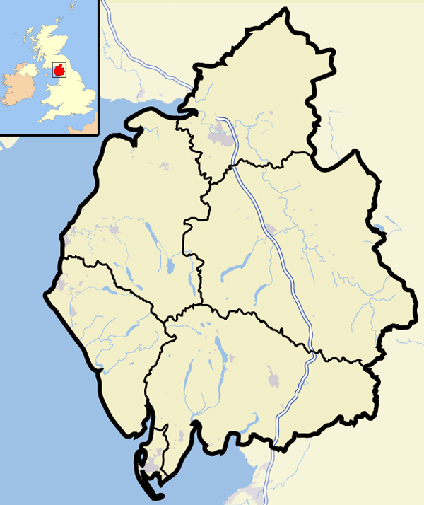
| Beschrijving | Map of the county of Cumbria, England, United Kingdom |
| Datum | |
| Bron | Eigen werk |
| Auteur | Jhamez84 |
Licentie
| Ik, de auteursrechthebbende van dit werk, geef dit werk vrij in het publieke domein. Dit is wereldwijd van toepassing. In sommige landen is dit wettelijk niet mogelijk; in die gevallen geldt: Ik sta iedereen toe dit werk voor eender welk doel te gebruiken, zonder enige voorwaarden, tenzij zulke voorwaarden door de wet worden voorgeschreven. |
Bestandsgeschiedenis
Klik op een datum/tijd om het bestand te zien zoals het destijds was.
| Datum/tijd | Miniatuur | Afmetingen | Gebruiker | Opmerking | |
|---|---|---|---|---|---|
| huidige versie | 13 aug 2007 14:37 | | 600 × 714 (352 kB) | Jza84 | {{Information |Description=Map of the county of Cumbria, England, United Kingdom |Source=self-made |Date=August 2007 |Author= Jhamez84 }} |
Bestandsgebruik
Geen enkele pagina gebruikt dit bestand.
Globaal bestandsgebruik
De volgende andere wiki's gebruiken dit bestand:
- Gebruikt op bg.wikipedia.org
- Gebruikt op en.wikipedia.org
- Gebruikt op sk.wikipedia.org