
Bestand:Georgia districts.png
Grootte van deze voorvertoning: 800 × 548 pixels. Andere resoluties: 320 × 219 pixels | 640 × 439 pixels | 1.024 × 702 pixels | 1.281 × 878 pixels.
Oorspronkelijk bestand (1.281 × 878 pixels, bestandsgrootte: 27 kB, MIME-type: image/png)
| Dit is een bestand van Wikimedia Commons. Onderstaande beschrijving komt van de beschrijving van het bestand daar. |
Beschrijving
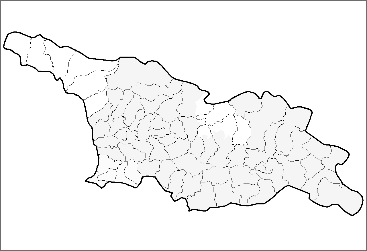
| Beschrijving | Map of the districts of the country of Georgia. | ||
| Datum | (UTC) | ||
| Bron | Eigen werk | ||
| Auteur | Rarelibra | ||
| Toestemming (Hergebruik van dit bestand) |
|
||
| Andere versies | Afgeleide werken van dit bestand: Georgia districts extended.png |
Licentie
| Dit werk vrijgegeven in het publieke domein door de auteur, I, Rarelibra. Dit is wereldwijd van toepassing. In sommige landen is dit wettelijk niet mogelijk; in die gevallen geldt: I, Rarelibra staat iedereen toe dit werk voor eender welk doel te gebruiken, zonder enige voorwaarden, tenzij zulke voorwaarden door de wet worden voorgeschreven. |
Bestandsgeschiedenis
Klik op een datum/tijd om het bestand te zien zoals het destijds was.
| Datum/tijd | Miniatuur | Afmetingen | Gebruiker | Opmerking | |
|---|---|---|---|---|---|
| huidige versie | 1 mrt 2020 16:54 | | 1.281 × 878 (27 kB) | Claude Zygiel | Black, grey & white, and differenciate the former autonomous regions (lighter) and the "out of the georgian control territories" (white). |
| 12 apr 2007 15:37 |  | 1.281 × 878 (23 kB) | Rarelibra | Map of the districts of the country of Georgia. Created by ~~~~ for public domain use, using MapInfo Professional v8.5 and various mapping resources. |
Bestandsgebruik
Geen enkele pagina gebruikt dit bestand.
Globaal bestandsgebruik
De volgende andere wiki's gebruiken dit bestand:
- Gebruikt op de.wikipedia.org
- Gebruikt op he.wikipedia.org
- Gebruikt op hy.wikipedia.org
- Gebruikt op lt.wikipedia.org
- Gebruikt op pam.wikipedia.org
- Gebruikt op sco.wikipedia.org
- Gebruikt op sq.wikipedia.org
- Gebruikt op sv.wikipedia.org
- Gebruikt op uk.wikipedia.org
- Gebruikt op war.wikipedia.org