
Bestand:Indonesia blank map.svg

Afmetingen van deze voorvertoning van het type PNG van dit SVG-bestand: 800 × 367 pixels Andere resoluties: 320 × 147 pixels | 640 × 294 pixels | 1.024 × 470 pixels | 1.280 × 587 pixels | 2.560 × 1.174 pixels | 1.877 × 861 pixels.
Oorspronkelijk bestand (SVG-bestand, nominaal 1.877 × 861 pixels, bestandsgrootte: 792 kB)
| Dit is een bestand van Wikimedia Commons. Onderstaande beschrijving komt van de beschrijving van het bestand daar. |
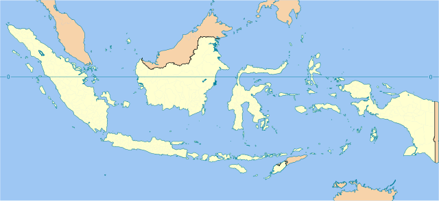
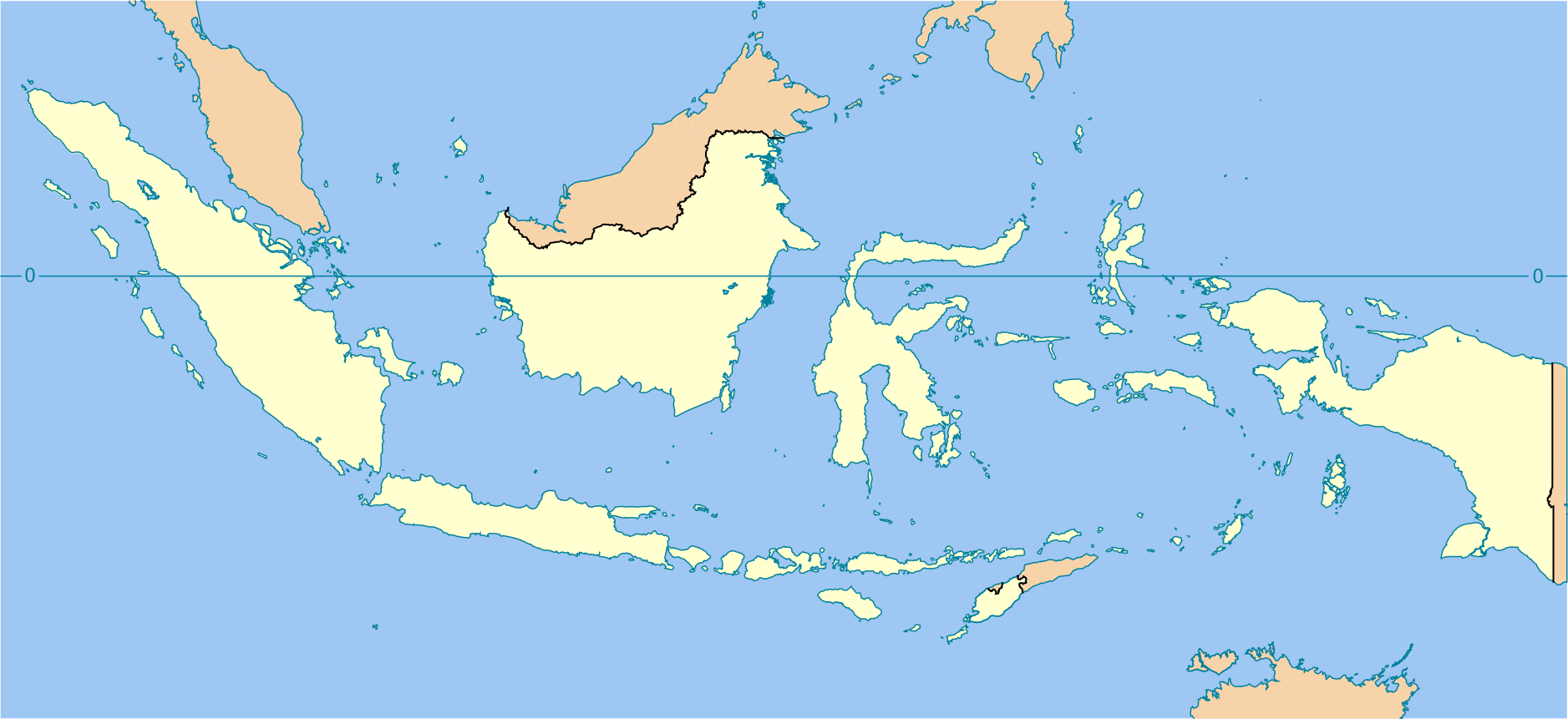
| Beschrijving | Indonesia blank map | ||||||||
| Datum | |||||||||
| Bron | Onbekend | ||||||||
| Auteur | en:User:Indon | ||||||||
| Toestemming (Hergebruik van dit bestand) |
Ik, de auteursrechthebbende van dit werk, maak het hierbij onder de volgende licentie beschikbaar:
|

Legend
| Color | Reference |
|---|---|
| ocean | |
| foreign countries | |
| Indonesia territories | |
| international boundaries | |
| coastline and the horisontal equator line |
Bounding box geo-coordinates
- top = 9.1521
- bottom = -13.5460
- left = 94.2744
- right = 142.8539
Bestandsgeschiedenis
Klik op een datum/tijd om het bestand te zien zoals het destijds was.
| Datum/tijd | Miniatuur | Afmetingen | Gebruiker | Opmerking | |
|---|---|---|---|---|---|
| huidige versie | 3 aug 2022 16:48 | | 1.877 × 861 (792 kB) | Afrogindahood | Coastlines improvement |
| 16 okt 2020 00:03 |  | 786 × 360 (710 kB) | Afrogindahood | Addition of coastlines on neighboring countries, addition of lake toba | |
| 19 jan 2007 23:02 |  | 1.322 × 620 (359 kB) | Indon~commonswiki | ||
| 19 jan 2007 22:55 |  | 1.324 × 628 (359 kB) | Indon~commonswiki | ||
| 19 jan 2007 19:22 |  | 1.405 × 626 (363 kB) | Indon~commonswiki | {{Information |Description= Indonesia blank map |Source= Base map is Image:Southeast asia.svg |Date=2006 |Author=en:User:Indon |Permission={{GFDL self}} |other_versions= }} |
Bestandsgebruik
Geen enkele pagina gebruikt dit bestand.
Globaal bestandsgebruik
De volgende andere wiki's gebruiken dit bestand:
- Gebruikt op de.wikipedia.org
- Gebruikt op en.wikipedia.org
- Gebruikt op es.wikipedia.org
- Gebruikt op fr.wikipedia.org
- Gebruikt op incubator.wikimedia.org
- Gebruikt op ru.wikipedia.org
- Gebruikt op sv.wikipedia.org
- Gebruikt op th.wikipedia.org
- Gebruikt op tr.wikipedia.org