
Bestand:Jharkhand locator map.svg

Afmetingen van deze voorvertoning van het type PNG van dit SVG-bestand: 505 × 599 pixels Andere resoluties: 202 × 240 pixels | 404 × 480 pixels | 647 × 768 pixels | 863 × 1.024 pixels | 1.726 × 2.048 pixels | 1.614 × 1.915 pixels.
Oorspronkelijk bestand (SVG-bestand, nominaal 1.614 × 1.915 pixels, bestandsgrootte: 231 kB)
| Dit is een bestand van Wikimedia Commons. Onderstaande beschrijving komt van de beschrijving van het bestand daar. |
| Titel |
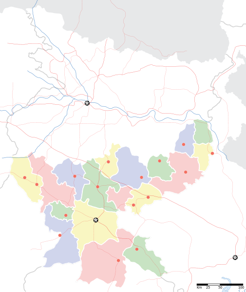
Jharkhand locator map |
||
| Beschrijving |
Locator map for the Indian state of w:Jharkhand. Equirectangular projection. Geographic limits of the map: top=27.561, bottom=21.92, left=83.25, right=88.52. |
||
| Datum | |||
| Bron |
Eigen werk |
||
| Maker |
|
||
| Toestemming (Hergebruik van dit bestand) |
Ik, de auteursrechthebbende van dit werk, maak het hierbij onder de volgende licentie beschikbaar: Dit bestand is gelicenseerd onder de Creative Commons-licentie Naamsvermelding-Gelijk delen 3.0 Unported
|
||
| Geotemporal data | |||
| Weergegeven datum | tweede helft 20e eeuw en 21e eeuw | ||
| Georeferencing | If inappropriate please set warp_status = skip to hide. | ||
| Archival data | |||
| Opmerkingen | Part of WikiProject India Maps | ||
Bestandsgeschiedenis
Klik op een datum/tijd om het bestand te zien zoals het destijds was.
| Datum/tijd | Miniatuur | Afmetingen | Gebruiker | Opmerking | |
|---|---|---|---|---|---|
| huidige versie | 7 sep 2008 08:46 | | 1.614 × 1.915 (231 kB) | Planemad | |
| 6 sep 2008 22:18 |  | 1.614 × 1.915 (183 kB) | Planemad | {{Information |Description={{en|1=a}} |Source=Own work by uploader |Author=PlaneMad |Date= |Permission= |other_versions= }} <!--{{ImageUpload|full}}--> |
Bestandsgebruik
Dit bestand wordt op de volgende pagina gebruikt:
Globaal bestandsgebruik
De volgende andere wiki's gebruiken dit bestand:
- Gebruikt op ar.wikipedia.org
- Gebruikt op ast.wikipedia.org
- Gebruikt op as.wikipedia.org
- Gebruikt op awa.wikipedia.org
- Gebruikt op ba.wikipedia.org
- Gebruikt op bh.wikipedia.org
- Gebruikt op bn.wikipedia.org
- রাঁচি
- সম্মেদ শিখর
- টেমপ্লেট:অবস্থান মানচিত্র ভারত ঝাড়খণ্ড
- ঘাটশিলা
- রাজমহল
- নেতারহাট
- মুরি
- বোকারো স্টিল সিটি
- জামতাড়া
- সোনারী বিমানবন্দর
- চাইবাসা
- চক্রধরপুর
- সাহেবগঞ্জ
- রাজমহল কয়লা খনি অঞ্চল
- বোকারো বিমানবন্দর
- পাঞ্চেত বাঁধ
- ব্যবহারকারী:খাঁ শুভেন্দু/রাঁচি
- সরাইকেল্লা
- দেওঘর বিমানবন্দর
- গিরিডি
- দুগদা
- মেদিনীনগর
- দুমকা
- রাঁচি জংশন রেলওয়ে স্টেশন
- হাজারিবাগ টাউন রেলওয়ে স্টেশন
- ধলভূমগড়
- ধলভূমগড় ব্লক
- জগন্নাথ মন্দির, রাঁচি
- Gebruikt op bo.wikipedia.org
- Gebruikt op ceb.wikipedia.org
- Gebruikt op de.wikipedia.org
- Gebruikt op fa.wikipedia.org
- Gebruikt op hi.wikipedia.org
Globaal gebruik van dit bestand bekijken.