
Bestand:Locator map of the Union of South Africa.svg

Afmetingen van deze voorvertoning van het type PNG van dit SVG-bestand: 800 × 400 pixels Andere resoluties: 320 × 160 pixels | 640 × 320 pixels | 1.024 × 512 pixels | 1.280 × 640 pixels | 2.560 × 1.280 pixels | 1.000 × 500 pixels.
Oorspronkelijk bestand (SVG-bestand, nominaal 1.000 × 500 pixels, bestandsgrootte: 2,76 MB)
| Dit is een bestand van Wikimedia Commons. Onderstaande beschrijving komt van de beschrijving van het bestand daar. |
Beschrijving
| Beschrijving |
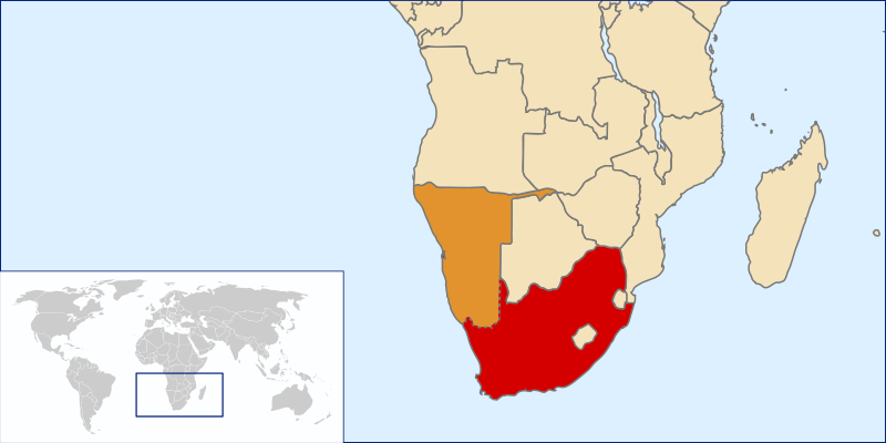
English: Location of the Union of South Africa, 1915-1961 |
| Bron | Own work by uploader based on File:LocationSouthAfrica.svg |
| Auteur | Seb az86556 |
Licentie
Ik, de auteursrechthebbende van dit werk, maak het hierbij onder de volgende licentie beschikbaar:
Dit bestand is gelicenseerd onder de Creative Commons-licentie Naamsvermelding 3.0 Unported
- De gebruiker mag:
- Delen – het werk kopiëren, verspreiden en doorgeven
- Remixen – afgeleide werken maken
- Onder de volgende voorwaarden:
- naamsvermelding – U moet op een gepaste manier aan naamsvermelding doen, een link naar de licentie geven, en aangeven of er wijzigingen in het werk zijn aangebracht. U mag dit op elke redelijke manier doen, maar niet zodanig dat de indruk wordt gewekt dat de licentiegever instemt met uw werk of uw gebruik van zijn werk.
Bestandsgeschiedenis
Klik op een datum/tijd om het bestand te zien zoals het destijds was.
| Datum/tijd | Miniatuur | Afmetingen | Gebruiker | Opmerking | |
|---|---|---|---|---|---|
| huidige versie | 19 jun 2010 23:38 | | 1.000 × 500 (2,76 MB) | Seb az86556 | show SWA as contested area |
| 27 jul 2009 21:34 |  | 1.000 × 500 (2,76 MB) | Seb az86556 | {{Information |Description={{en|1=Location of the Union of South Africa, 1910-1961}} |Source=Own work by uploader based on File:LocationSouthAfrica.svg |Author=Seb az86556 |Date= |Permission= |other_versions= }} [[Category:Maps |
Bestandsgebruik
Geen enkele pagina gebruikt dit bestand.
Globaal bestandsgebruik
De volgende andere wiki's gebruiken dit bestand:
- Gebruikt op en.wikipedia.org
- Gebruikt op he.wikipedia.org
- Gebruikt op hy.wikipedia.org
- Gebruikt op zh.wikipedia.org