
Bestand:Map of Alaska highlighting Kodiak Island Borough.svg

Afmetingen van deze voorvertoning van het type PNG van dit SVG-bestand: 800 × 423 pixels Andere resoluties: 320 × 169 pixels | 640 × 338 pixels | 1.024 × 541 pixels | 1.280 × 677 pixels | 2.560 × 1.353 pixels | 1.470 × 777 pixels.
Oorspronkelijk bestand (SVG-bestand, nominaal 1.470 × 777 pixels, bestandsgrootte: 338 kB)
| Dit is een bestand van Wikimedia Commons. Onderstaande beschrijving komt van de beschrijving van het bestand daar. |
Beschrijving
| Beschrijving |
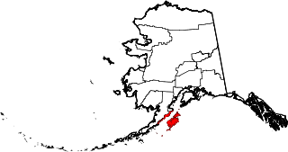
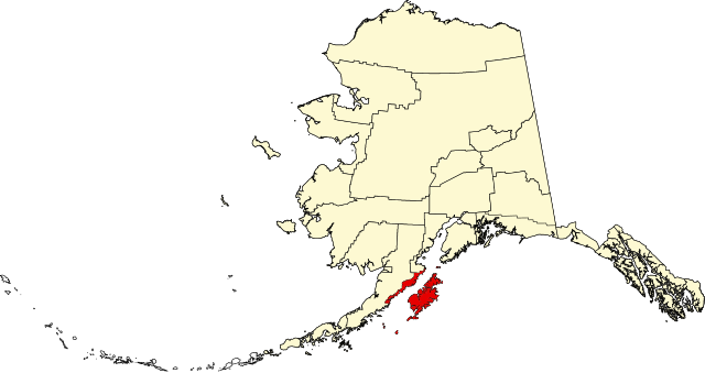
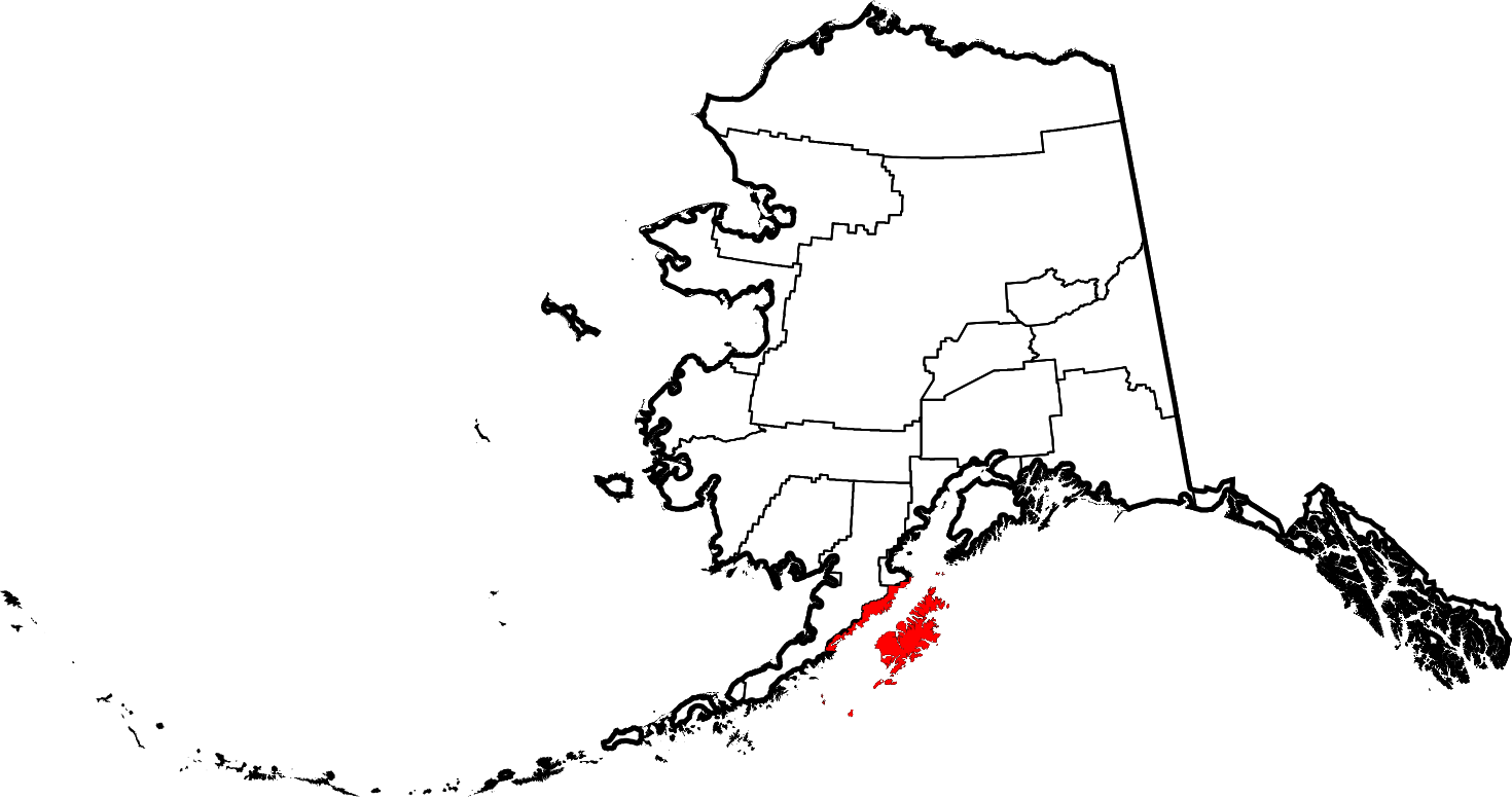
English: This is a locator map showing Kodiak Island Borough in Alaska |
| Datum | |
| Bron |
Eigen werk: English: The maps use data from nationalatlas.gov, specifically countyp020.tar.gz on the Raw Data Download page. The maps also use state outline data from statesp020.tar.gz. The Florida maps use hydrogm020.tar.gz to display Lake Okeechobee. |
| Auteur | David Benbennick |
Licentie
| Ik, de auteursrechthebbende van dit werk, geef dit werk vrij in het publieke domein. Dit is wereldwijd van toepassing. In sommige landen is dit wettelijk niet mogelijk; in die gevallen geldt: Ik sta iedereen toe dit werk voor eender welk doel te gebruiken, zonder enige voorwaarden, tenzij zulke voorwaarden door de wet worden voorgeschreven. |
Bestandsgeschiedenis
Klik op een datum/tijd om het bestand te zien zoals het destijds was.
| Datum/tijd | Miniatuur | Afmetingen | Gebruiker | Opmerking | |
|---|---|---|---|---|---|
| huidige versie | 5 mrt 2006 21:27 | | 1.470 × 777 (338 kB) | David Benbennick | {{subst:User:Dbenbenn/clm|county=Kodiak Island Borough|state=Alaska|type=borough and census area}} |
Bestandsgebruik
Dit bestand wordt op de volgende pagina gebruikt:
Globaal bestandsgebruik
De volgende andere wiki's gebruiken dit bestand:
- Gebruikt op bpy.wikipedia.org
- Gebruikt op ca.wikipedia.org
- Gebruikt op ceb.wikipedia.org
- Gebruikt op ce.wikipedia.org
- Gebruikt op cy.wikipedia.org
- Gebruikt op de.wikipedia.org
- Gebruikt op en.wikipedia.org
- List of boroughs and census areas in Alaska
- Kodiak Island Borough, Alaska
- Akhiok, Alaska
- Aleneva, Alaska
- Chiniak, Alaska
- Karluk, Alaska
- Kodiak, Alaska
- Kodiak Station, Alaska
- Larsen Bay, Alaska
- Old Harbor, Alaska
- Ouzinkie, Alaska
- Port Lions, Alaska
- Womens Bay, Alaska
- Kodiak Island
- Afognak
- Shelikof Strait
- Three Saints Bay, Alaska
- Karluk River
- Afognak, Alaska
- Mount Kaguyak
- Mount Mageik
- User:Jnestorius/Regions with significant island landmass
- Chirikof Island
Globaal gebruik van dit bestand bekijken.