
Bestand:Map of Gulf of Saint Lawrence-No names.png
Grootte van deze voorvertoning: 673 × 600 pixels. Andere resoluties: 269 × 240 pixels | 539 × 480 pixels | 862 × 768 pixels | 1.059 × 944 pixels.
Oorspronkelijk bestand (1.059 × 944 pixels, bestandsgrootte: 307 kB, MIME-type: image/png)
| Dit is een bestand van Wikimedia Commons. Onderstaande beschrijving komt van de beschrijving van het bestand daar. |
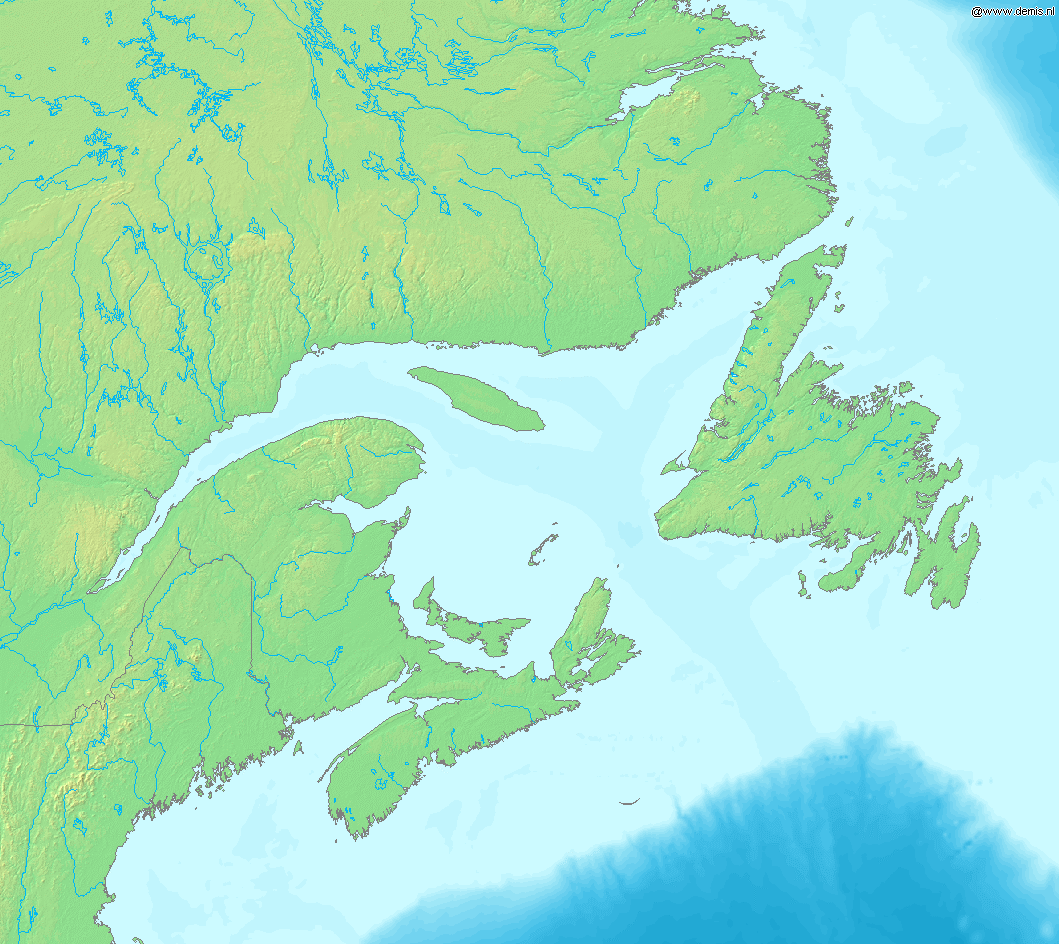
Map of Gulf of Saint Lawrence.
Bounding box West -73°, South 42°, East -51°, North 55°.
Deze afbeelding bevindt zich in het publiek domein omdat ze afkomstig is van de website https://www.demis.nl/products/web-map-server/examples/ en is vrijgegeven door de copyright-houder. Het is toegestaan om deze kaart te kopiëren, verspreiden en/of aan te passen aangezien ze gebaseerd is op auteursrechtenvrije gegevens van: www.demis.nl. Zie ook toestemmingsemail op de.wp en een verklaring.
|
| This work has been released into the public domain by its copyright holder, www.demis.nl. This applies worldwide. In sommige landen is dit wettelijk niet mogelijk; in die gevallen geldt: www.demis.nl staat iedereen toe dit werk voor eender welk doel te gebruiken, zonder enige voorwaarden, tenzij zulke voorwaarden door de wet worden voorgeschreven.
|
Bestandsgeschiedenis
Klik op een datum/tijd om het bestand te zien zoals het destijds was.
| Datum/tijd | Miniatuur | Afmetingen | Gebruiker | Opmerking | |
|---|---|---|---|---|---|
| huidige versie | 15 okt 2005 20:17 | | 1.059 × 944 (307 kB) | Mats Halldin~commonswiki | Map of Gulf of Saint Lawrence. Bounding box West -73°, South 42°, East -51°, North 55°. {{demis-pd}} Category:Maps of Canada |
Bestandsgebruik
Geen enkele pagina gebruikt dit bestand.
Globaal bestandsgebruik
De volgende andere wiki's gebruiken dit bestand:
- Gebruikt op en.wikipedia.org
- Gebruikt op es.wikipedia.org
- Gebruikt op fr.wikipedia.org
- Gebruikt op gl.wikipedia.org
- Gebruikt op it.wikipedia.org
- Gebruikt op la.wikipedia.org