
Bestand:Map of Kentucky highlighting Lincoln County.svg

Afmetingen van deze voorvertoning van het type PNG van dit SVG-bestand: 800 × 345 pixels Andere resoluties: 320 × 138 pixels | 640 × 276 pixels | 1.024 × 441 pixels | 1.280 × 551 pixels | 2.560 × 1.103 pixels | 6.770 × 2.916 pixels.
Oorspronkelijk bestand (SVG-bestand, nominaal 6.770 × 2.916 pixels, bestandsgrootte: 127 kB)
| Dit is een bestand van Wikimedia Commons. Onderstaande beschrijving komt van de beschrijving van het bestand daar. |
Beschrijving
| Beschrijving |
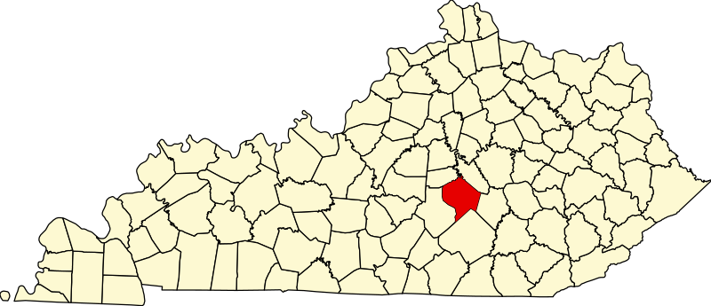
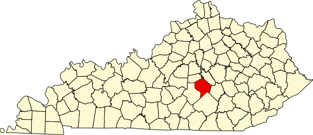
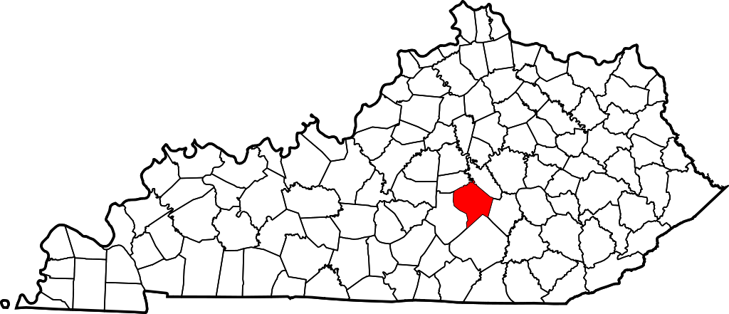
English: This is a locator map showing Lincoln County in Kentucky. For more information, see Commons:United States county locator maps. |
| Datum | |
| Bron |
Eigen werk: English: The maps use data from nationalatlas.gov, specifically countyp020.tar.gz on the Raw Data Download page. The maps also use state outline data from statesp020.tar.gz. The Florida maps use hydrogm020.tar.gz to display Lake Okeechobee. |
| Auteur | David Benbennick |
Licentie
| Ik, de auteursrechthebbende van dit werk, geef dit werk vrij in het publieke domein. Dit is wereldwijd van toepassing. In sommige landen is dit wettelijk niet mogelijk; in die gevallen geldt: Ik sta iedereen toe dit werk voor eender welk doel te gebruiken, zonder enige voorwaarden, tenzij zulke voorwaarden door de wet worden voorgeschreven. |
Bestandsgeschiedenis
Klik op een datum/tijd om het bestand te zien zoals het destijds was.
| Datum/tijd | Miniatuur | Afmetingen | Gebruiker | Opmerking | |
|---|---|---|---|---|---|
| huidige versie | 12 feb 2006 14:23 | | 6.770 × 2.916 (127 kB) | David Benbennick | {{subst:User:Dbenbenn/clm|county=Lincoln County|state=Kentucky}} |
Bestandsgebruik
Dit bestand wordt op de volgende pagina gebruikt:
Globaal bestandsgebruik
De volgende andere wiki's gebruiken dit bestand:
- Gebruikt op ar.wikipedia.org
- Gebruikt op bg.wikipedia.org
- Gebruikt op bpy.wikipedia.org
- Gebruikt op ca.wikipedia.org
- Gebruikt op cdo.wikipedia.org
- Gebruikt op ceb.wikipedia.org
- Gebruikt op ce.wikipedia.org
- Gebruikt op cs.wikipedia.org
- Gebruikt op cy.wikipedia.org
- Gebruikt op de.wikipedia.org
- Gebruikt op en.wikipedia.org
- Lincoln County, Kentucky
- Crab Orchard, Kentucky
- Hustonville, Kentucky
- Stanford, Kentucky
- Junction City, Kentucky
- Eubank, Kentucky
- Cedar Creek (Dix River tributary)
- List of counties in Kentucky
- Template:Lincoln County, Kentucky
- User:Nyttend/County templates/KY/2
- National Register of Historic Places listings in Lincoln County, Kentucky
- Category:Populated places in Lincoln County, Kentucky
- O K, Kentucky
- Dog Walk, Kentucky
- Chicken Bristle, Kentucky
- Blue Lick, Kentucky
- Turkeytown, Kentucky
- Jumbo, Kentucky
- Hubble, Kentucky
- Walnut Flat, Kentucky
- Preachersville, Kentucky
- Pleasant Point, Lincoln County, Kentucky
- Miracle, Lincoln County, Kentucky
- Kings Mountain, Kentucky
- Waynesburg, Kentucky
Globaal gebruik van dit bestand bekijken.