
Bestand:Map of Oregon highlighting Curry County.svg

Afmetingen van deze voorvertoning van het type PNG van dit SVG-bestand: 800 × 596 pixels Andere resoluties: 320 × 239 pixels | 640 × 477 pixels | 1.024 × 764 pixels | 1.280 × 954 pixels | 2.560 × 1.909 pixels | 6.451 × 4.810 pixels.
Oorspronkelijk bestand (SVG-bestand, nominaal 6.451 × 4.810 pixels, bestandsgrootte: 136 kB)
| Dit is een bestand van Wikimedia Commons. Onderstaande beschrijving komt van de beschrijving van het bestand daar. |
Beschrijving
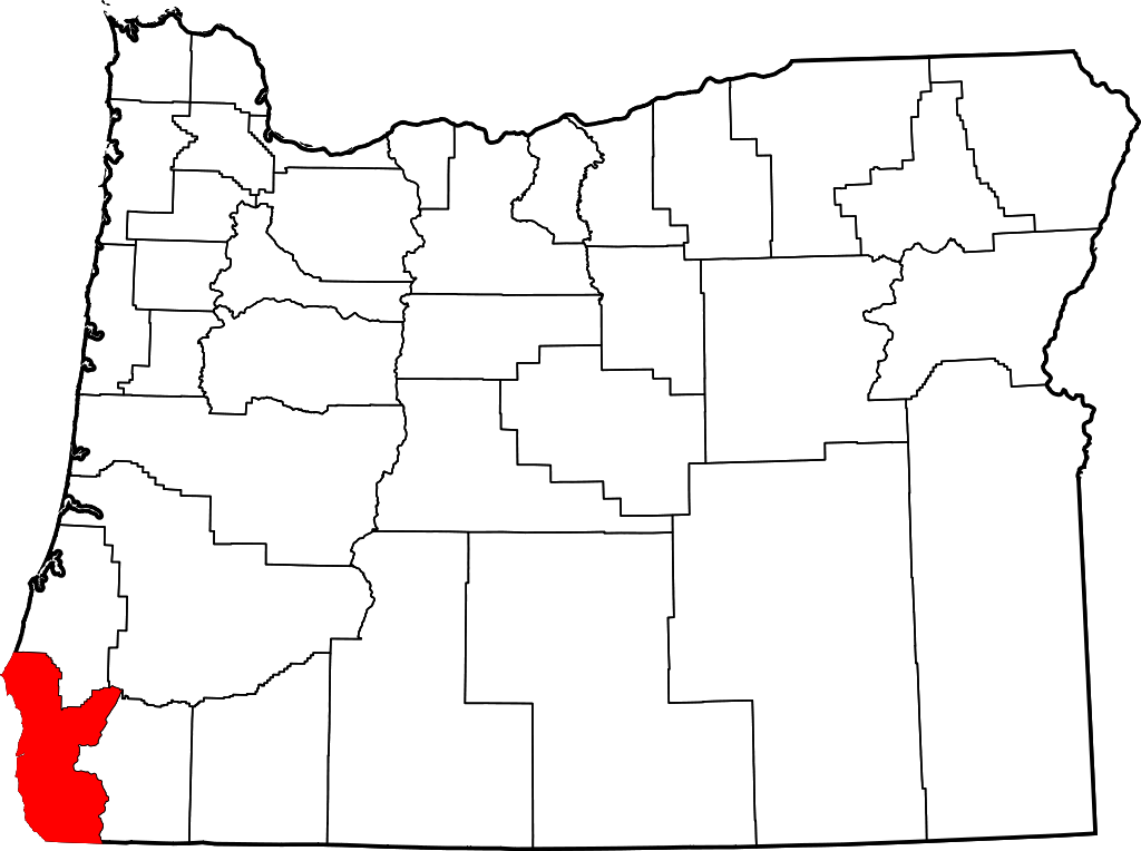
- Locator map of Curry County in southwestern Oregon.
David Benbennick made this map. For more information, see Commons:United States county locator maps.
| Ik, de auteursrechthebbende van dit werk, geef dit werk vrij in het publieke domein. Dit is wereldwijd van toepassing. In sommige landen is dit wettelijk niet mogelijk; in die gevallen geldt: Ik sta iedereen toe dit werk voor eender welk doel te gebruiken, zonder enige voorwaarden, tenzij zulke voorwaarden door de wet worden voorgeschreven. |
Bestandsgeschiedenis
Klik op een datum/tijd om het bestand te zien zoals het destijds was.
| Datum/tijd | Miniatuur | Afmetingen | Gebruiker | Opmerking | |
|---|---|---|---|---|---|
| huidige versie | 12 feb 2006 18:16 | | 6.451 × 4.810 (136 kB) | David Benbennick | {{subst:User:Dbenbenn/clm|county=Curry County|state=Oregon|type=county}} |
Bestandsgebruik
Dit bestand wordt op de volgende pagina gebruikt:
Globaal bestandsgebruik
De volgende andere wiki's gebruiken dit bestand:
- Gebruikt op ar.wikipedia.org
- Gebruikt op bg.wikipedia.org
- Gebruikt op bpy.wikipedia.org
- Gebruikt op ca.wikipedia.org
- Gebruikt op cdo.wikipedia.org
- Gebruikt op ceb.wikipedia.org
- Gebruikt op ce.wikipedia.org
- Gebruikt op cy.wikipedia.org
- Gebruikt op de.wikipedia.org
- Gebruikt op en.wikipedia.org
- List of counties in Oregon
- Curry County, Oregon
- Brookings, Oregon
- Gold Beach, Oregon
- Harbor, Oregon
- Port Orford, Oregon
- Confederated Tribes of Coos, Lower Umpqua and Siuslaw Indians
- Langlois, Oregon
- Agness, Oregon
- Carpenterville, Oregon
- Pistol River, Oregon
- Sixes, Oregon
- Wedderburn, Oregon
- Template:Curry County, Oregon
- Nesika Beach, Oregon
- User:Nyttend/County templates/OR
- Ophir, Oregon
- National Register of Historic Places listings in Curry County, Oregon
- User:Lhammer610/Sandbox
- Ophir Beach
- Barley Beach
- Illahe, Oregon
- Marial, Oregon
- Denmark, Oregon
- Category:Populated places in Curry County, Oregon
- Bagnell Ferry, Oregon
- Plum Trees, Oregon
- Hunter Creek, Oregon
- Frankport, Oregon
Globaal gebruik van dit bestand bekijken.