
Bestand:Mexico map, MX-MIC.svg

Afmetingen van deze voorvertoning van het type PNG van dit SVG-bestand: 800 × 544 pixels Andere resoluties: 320 × 218 pixels | 640 × 435 pixels | 1.024 × 696 pixels | 1.280 × 870 pixels | 2.560 × 1.741 pixels | 1.000 × 680 pixels.
Oorspronkelijk bestand (SVG-bestand, nominaal 1.000 × 680 pixels, bestandsgrootte: 123 kB)
| Dit is een bestand van Wikimedia Commons. Onderstaande beschrijving komt van de beschrijving van het bestand daar. |
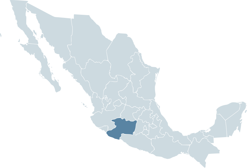
| Beschrijving | Locator map for the state of Michoacán within Mexico. | ||||
| Datum | 04-07-2007 | ||||
| Bron | Mexico template.svg by Mario Fuente Cid and Lokal_Profil | ||||
| Auteur | Lokal_Profil | ||||
| Toestemming (Hergebruik van dit bestand) |
Original image licensed under
|
Bestandsgeschiedenis
Klik op een datum/tijd om het bestand te zien zoals het destijds was.
| Datum/tijd | Miniatuur | Afmetingen | Gebruiker | Opmerking | |
|---|---|---|---|---|---|
| huidige versie | 18 nov 2009 02:05 | | 1.000 × 680 (123 kB) | Addicted04 | Reverted to version as of 01:42, 19 November 2007 |
| 1 okt 2009 03:34 |  | 1.000 × 680 (267 kB) | Addicted04 | States borders | |
| 19 nov 2007 03:42 |  | 1.000 × 680 (123 kB) | El bart089 | Based on the image made by Lokal Profil | |
| 4 jul 2007 19:27 |  | 1.000 × 680 (117 kB) | Lokal Profil | {{Information |Description=Locator map for the state of Category:Michoacán within Mexico. |Source=Image:Mexico template.svg by Mario Fuente Cid <small>and Lokal_Profil</small> |Date=04-07-2007 |Author= |
Bestandsgebruik
Dit bestand wordt op de volgende pagina gebruikt:
Globaal bestandsgebruik
De volgende andere wiki's gebruiken dit bestand:
- Gebruikt op an.wikipedia.org
- Gebruikt op ay.wikipedia.org
- Gebruikt op chy.wikipedia.org
- Gebruikt op en.wikipedia.org
- Gebruikt op en.wiktionary.org
- Gebruikt op eo.wikipedia.org
- Gebruikt op es.wikipedia.org
- Gebruikt op fr.wikipedia.org
- Gebruikt op hr.wikipedia.org
- Gebruikt op hy.wikipedia.org
- Gebruikt op id.wikipedia.org
- Gebruikt op incubator.wikimedia.org
- Gebruikt op ka.wikipedia.org
- Gebruikt op nn.wikipedia.org
- Gebruikt op pl.wikipedia.org
- Gebruikt op ru.wikipedia.org
- Gebruikt op sh.wikipedia.org
- Gebruikt op simple.wikipedia.org
- Gebruikt op sv.wikipedia.org
- Gebruikt op sw.wikipedia.org
- Gebruikt op zh.wikipedia.org