
Bestand:Ph ARMM.png

Grootte van deze voorvertoning: 800 × 455 pixels. Andere resoluties: 320 × 182 pixels | 640 × 364 pixels | 1.024 × 582 pixels | 1.280 × 727 pixels | 2.560 × 1.454 pixels | 3.654 × 2.076 pixels.
Oorspronkelijk bestand (3.654 × 2.076 pixels, bestandsgrootte: 651 kB, MIME-type: image/png)
| Dit is een bestand van Wikimedia Commons. Onderstaande beschrijving komt van de beschrijving van het bestand daar. |
| Beschrijving | |
| Datum | 3 mei 2007 (originele uploaddatum) |
| Bron |
Original image transferred from en.wikipedia; transferred to Commons by User:Ludger1961 using CommonsHelper. Used:PhlMapCit.svg by Felipe_Aira and Philippines location map.svg by NordNordWest on versions uploaded on 2012-08-28
|
| Auteur | Scorpion prinz op de Engelstalige Wikipedia |
Licentie
Scorpion prinz op de Engelstalige Wikipedia, de auteursrechthebbende van dit werk, maakt het hierbij onder de volgende licentie beschikbaar:
Dit bestand is gelicenseerd onder de Creative Commons-licentie Naamsvermelding-Gelijk delen 3.0 Unported
Naamsvermelding: Scorpion prinz op de Engelstalige Wikipedia
- De gebruiker mag:
- Delen – het werk kopiëren, verspreiden en doorgeven
- Remixen – afgeleide werken maken
- Onder de volgende voorwaarden:
- naamsvermelding – U moet op een gepaste manier aan naamsvermelding doen, een link naar de licentie geven, en aangeven of er wijzigingen in het werk zijn aangebracht. U mag dit op elke redelijke manier doen, maar niet zodanig dat de indruk wordt gewekt dat de licentiegever instemt met uw werk of uw gebruik van zijn werk.
- Gelijk delen – Als u het werk heeft geremixt, veranderd, of erop heeft voortgebouwd, moet u het gewijzigde materiaal verspreiden onder dezelfde licentie als het oorspronkelijke werk, of een daarmee compatibele licentie.
Oorspronkelijk uploadlogboek
De oorspronkelijke beschrijving van deze afbeelding stond hier. Alle volgende gebruikersnamen verwijzen naar en.wikipedia.
- 2007-05-03 06:25 Scorpion prinz 1336×712× (69260 bytes) edited image
Bestandsgeschiedenis
Klik op een datum/tijd om het bestand te zien zoals het destijds was.
| Datum/tijd | Miniatuur | Afmetingen | Gebruiker | Opmerking | |
|---|---|---|---|---|---|
| huidige versie | 28 aug 2012 15:59 | | 3.654 × 2.076 (651 kB) | Namayan | reduced size |
| 28 aug 2012 15:58 |  | 4.872 × 2.768 (953 kB) | Namayan | Changed maguindanao coast to correct color | |
| 28 aug 2012 14:57 |  | 3.654 × 2.076 (651 kB) | Namayan | updated map, optimized border | |
| 28 aug 2012 14:38 |  | 3.045 × 1.730 (513 kB) | Namayan | reduced size | |
| 28 aug 2012 14:37 |  | 6.091 × 3.460 (1,24 MB) | Namayan | uploaded new map | |
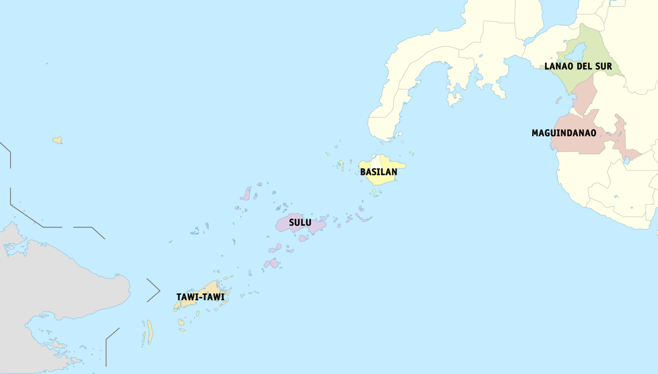
| 21 jan 2009 14:47 |  | 1.336 × 712 (68 kB) | File Upload Bot (Magnus Manske) | {{BotMoveToCommons|en.wikipedia}} {{Information |Description={{en|Political map of the en:Autonomous Region in Muslim Mindanao, en:Philippines. Showing en:Basilan, en:Lanao del Sur, en:Maguindanao, en:Shariff Kabunsuan, [[:e |
Bestandsgebruik
Dit bestand wordt op de volgende pagina gebruikt:
Globaal bestandsgebruik
De volgende andere wiki's gebruiken dit bestand:
- Gebruikt op az.wikipedia.org
- Gebruikt op be.wikipedia.org
- Gebruikt op ca.wikipedia.org
- Gebruikt op ceb.wikipedia.org
- Gebruikt op en.wikipedia.org
- Gebruikt op es.wikipedia.org
- Gebruikt op fr.wikipedia.org
- Gebruikt op gl.wikipedia.org
- Gebruikt op id.wikipedia.org
- Gebruikt op incubator.wikimedia.org
- Gebruikt op ja.wikipedia.org
- Gebruikt op ka.wikipedia.org
- Gebruikt op mt.wikipedia.org
- Gebruikt op pnb.wikipedia.org
- Gebruikt op ru.wikipedia.org
- Gebruikt op th.wikipedia.org
- Gebruikt op tl.wikipedia.org
- Gebruikt op tr.wikipedia.org
- Gebruikt op ur.wikipedia.org
- Gebruikt op vi.wikipedia.org
- Gebruikt op war.wikipedia.org