
Bestand:SpainGuadianaBasin.png
Grootte van deze voorvertoning: 800 × 570 pixels. Andere resoluties: 320 × 228 pixels | 640 × 456 pixels | 1.024 × 730 pixels | 1.280 × 912 pixels | 1.751 × 1.248 pixels.
Oorspronkelijk bestand (1.751 × 1.248 pixels, bestandsgrootte: 2,27 MB, MIME-type: image/png)
| Dit is een bestand van Wikimedia Commons. Onderstaande beschrijving komt van de beschrijving van het bestand daar. |
Beschrijving
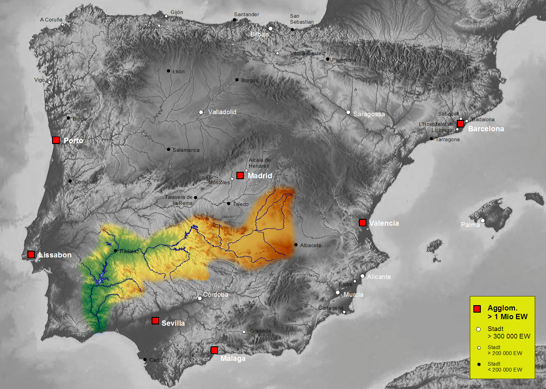
| Beschrijving | Map of Guadiana river basin in Spain, Karte des hydrogeografischen Beckens des Guadiana |
| Datum | |
| Bron | Own work, based on an image of http://www.maps-for-free.com/ (Creative Commons Attribution Share Alike 3.0) |
| Auteur | Port(u*o)s |
| Toestemming (Hergebruik van dit bestand) |
Creative Commons Attribution Share Alike 3.0 |
Licentie
Dit bestand is gelicenseerd onder de Creative Commons-licentie Naamsvermelding-Gelijk delen 3.0 Unported
- De gebruiker mag:
- Delen – het werk kopiëren, verspreiden en doorgeven
- Remixen – afgeleide werken maken
- Onder de volgende voorwaarden:
- naamsvermelding – U moet op een gepaste manier aan naamsvermelding doen, een link naar de licentie geven, en aangeven of er wijzigingen in het werk zijn aangebracht. U mag dit op elke redelijke manier doen, maar niet zodanig dat de indruk wordt gewekt dat de licentiegever instemt met uw werk of uw gebruik van zijn werk.
- Gelijk delen – Als u het werk heeft geremixt, veranderd, of erop heeft voortgebouwd, moet u het gewijzigde materiaal verspreiden onder dezelfde licentie als het oorspronkelijke werk, of een daarmee compatibele licentie.
Bestandsgeschiedenis
Klik op een datum/tijd om het bestand te zien zoals het destijds was.
| Datum/tijd | Miniatuur | Afmetingen | Gebruiker | Opmerking | |
|---|---|---|---|---|---|
| huidige versie | 7 okt 2021 18:44 | | 1.751 × 1.248 (2,27 MB) | Lojwe | Santiago mal posicionada |
| 5 feb 2019 03:56 |  | 1.751 × 1.248 (2,44 MB) | TouchName | recorte de marco | |
| 30 okt 2007 03:59 |  | 1.808 × 1.307 (2,48 MB) | Port(u*o)s | == Summary == {{Information |Description=Map of Guadiana river basin in Spain, Karte des hydrogeografischen Beckens des Guadiana |Source= Own work, based on an image of http://www.maps-for-free.com/ (Creative Commons Attribution Share Alike 3.0) |Date=Oct |
Bestandsgebruik
Dit bestand wordt op de volgende 2 pagina's gebruikt:
Globaal bestandsgebruik
De volgende andere wiki's gebruiken dit bestand:
- Gebruikt op af.wikipedia.org
- Gebruikt op ast.wikipedia.org
- Gebruikt op be.wikipedia.org
- Gebruikt op cs.wikipedia.org
- Gebruikt op cv.wikipedia.org
- Gebruikt op da.wikipedia.org
- Gebruikt op de.wikipedia.org
- Gebruikt op el.wikipedia.org
- Gebruikt op en.wikipedia.org
- Gebruikt op es.wikipedia.org
- Guadiana
- Río Zújar
- Río Guadámez
- Río Guadalupe
- Riánsares
- Anexo:Ríos de España
- Río Ardila
- Río Gévora
- Usuario discusión:NACLE
- Río Estena
- Río Guadajira
- Río Caya
- Río Albarregas (España)
- Río Chanza
- Río Bedija
- Cuenca hidrográfica del Guadiana
- Godolid
- Río Estenilla
- Usuario:Strakhov/FOT
- Arroyo Grande (Castilblanco)
- Gebruikt op fr.wikipedia.org
- Gebruikt op he.wikipedia.org
- Gebruikt op hu.wikipedia.org
- Gebruikt op is.wikipedia.org
- Gebruikt op ja.wikipedia.org
- Gebruikt op kk.wikipedia.org
Globaal gebruik van dit bestand bekijken.