
Bestand:Territorios de la Segunda República Española.svg

Afmetingen van deze voorvertoning van het type PNG van dit SVG-bestand: 396 × 600 pixels Andere resoluties: 158 × 240 pixels | 317 × 480 pixels | 507 × 768 pixels | 676 × 1.024 pixels | 1.352 × 2.048 pixels | 4.950 × 7.500 pixels.
Oorspronkelijk bestand (SVG-bestand, nominaal 4.950 × 7.500 pixels, bestandsgrootte: 989 kB)
| Dit is een bestand van Wikimedia Commons. Onderstaande beschrijving komt van de beschrijving van het bestand daar. |
Beschrijving
| Beschrijving |
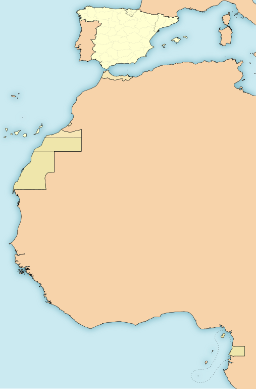
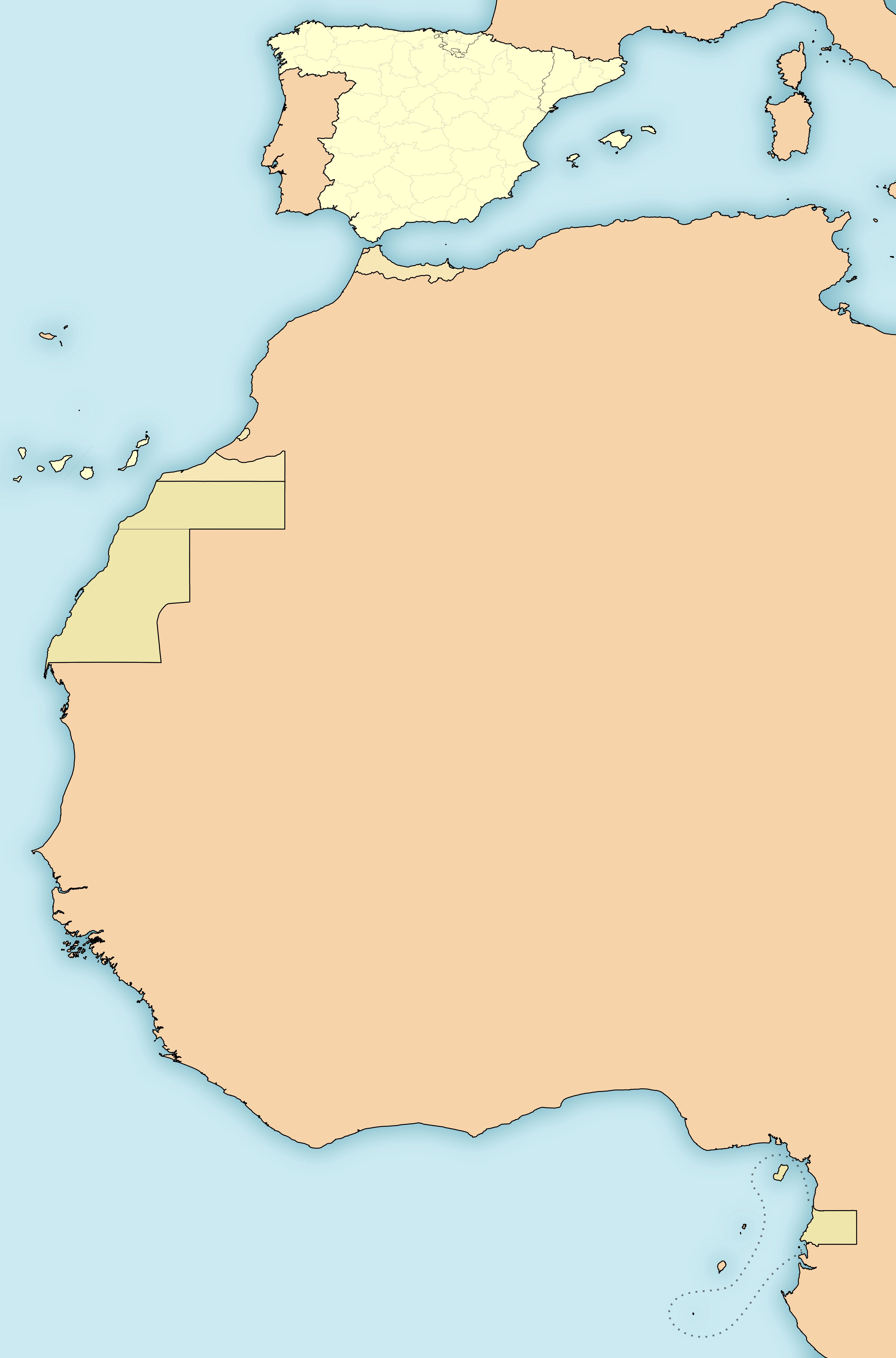
English: Map of the territories under goverment of the Second Spanish Republic (1931-1936/39)
Español: Mapa de los territorios bajo soberanía de la Segunda República Española (1931-1936/39)
Amarillo:
Anaranjado:
Beige:
|
| Datum | |
| Bron | Eigen werk |
| Auteur | HansenBCN |
| Andere versies |
Afgeleide werken van dit bestand: |
Licentie
Ik, de auteursrechthebbende van dit werk, maak het hierbij onder de volgende licenties beschikbaar:

|
Toestemming wordt verleend voor het kopiëren, verspreiden en/of wijzigen van dit document onder de voorwaarden van de GNU-licentie voor vrije documentatie, versie 1.2 of enige latere versie als gepubliceerd door de Free Software Foundation; zonder Invariant Sections, zonder Front-Cover Texts, en zonder Back-Cover Texts. Een kopie van de licentie is opgenomen in de sectie GNU-licentie voor vrije documentatie. |
This file is licensed under the Creative Commons Attribution-Share Alike Attribution-Share Alike 4.0 International, 3.0 Unported, 2.5 Generic, 2.0 Generic and 1.0 Generic license.
- De gebruiker mag:
- Delen – het werk kopiëren, verspreiden en doorgeven
- Remixen – afgeleide werken maken
- Onder de volgende voorwaarden:
- naamsvermelding – U moet op een gepaste manier aan naamsvermelding doen, een link naar de licentie geven, en aangeven of er wijzigingen in het werk zijn aangebracht. U mag dit op elke redelijke manier doen, maar niet zodanig dat de indruk wordt gewekt dat de licentiegever instemt met uw werk of uw gebruik van zijn werk.
- Gelijk delen – Als u het werk heeft geremixt, veranderd, of erop heeft voortgebouwd, moet u het gewijzigde materiaal verspreiden onder dezelfde licentie als het oorspronkelijke werk, of een daarmee compatibele licentie.
U mag zelf één van de licenties kiezen.
W3C-validity not checked.
Bestandsgeschiedenis
Klik op een datum/tijd om het bestand te zien zoals het destijds was.
| Datum/tijd | Miniatuur | Afmetingen | Gebruiker | Opmerking | |
|---|---|---|---|---|---|
| huidige versie | 15 nov 2010 18:47 | | 4.950 × 7.500 (989 kB) | Ras67 | this is the right one |
| 15 nov 2010 18:44 |  | 2.000 × 3.030 (989 kB) | Ras67 | repaired | |
| 15 nov 2010 02:43 |  | 4.950 × 7.500 (1,71 MB) | Yuma | -frameborder | |
| 15 jun 2009 17:29 |  | 4.950 × 7.500 (1,71 MB) | HansenBCN | ajuste grosores | |
| 15 jun 2009 17:20 |  | 4.950 × 7.500 (1,71 MB) | HansenBCN | coloración; añadidas las fronteras administrativas provinciales | |
| 15 jun 2009 14:32 |  | 512 × 776 (894 kB) | HansenBCN | correccion de bordes y transparencia | |
| 15 jun 2009 14:30 |  | 512 × 776 (894 kB) | HansenBCN | {{Information |Description={{en|1=Map of the territories under goverment of the Second Spanish Republic (1931-1936/39)}} {{es|1=Mapa de los territorios bajo soberanía de la Segunda República Española (1931-1936/39) Rojo: *España (territorio peninsula |
Bestandsgebruik
Geen enkele pagina gebruikt dit bestand.
Globaal bestandsgebruik
De volgende andere wiki's gebruiken dit bestand:
- Gebruikt op an.wikipedia.org
- Gebruikt op azb.wikipedia.org
- Gebruikt op bg.wikipedia.org
- Gebruikt op ca.wikipedia.org
- Gebruikt op cbk-zam.wikipedia.org
- Gebruikt op en.wikipedia.org
- Gebruikt op es.wikipedia.org
- Gebruikt op eu.wikipedia.org
- Gebruikt op ext.wikipedia.org
- Gebruikt op io.wikipedia.org
- Gebruikt op pt.wikibooks.org
- Gebruikt op uk.wikipedia.org