
Bestand:Uruguay fisico.png

Grootte van deze voorvertoning: 471 × 599 pixels. Andere resoluties: 188 × 240 pixels | 377 × 480 pixels | 603 × 768 pixels | 1.100 × 1.400 pixels.
Oorspronkelijk bestand (1.100 × 1.400 pixels, bestandsgrootte: 209 kB, MIME-type: image/png)
| Dit is een bestand van Wikimedia Commons. Onderstaande beschrijving komt van de beschrijving van het bestand daar. |

|
Deze kaartafbeelding zou opnieuw moeten worden aangemaakt als een SVG-bestand door vectorafbeeldingen te gebruiken. Dit heeft een aantal voordelen; zie Commons:Media for cleanup voor meer informatie. Als er een SVG-formaat van deze afbeelding bestaat, dan deze graag uploaden. Nadat u dit heeft gedaan, gelieve dit sjabloon te vervangen door het sjabloon {{vector version available|nieuwe bestandsnaam.svg}} op deze afbeeldingspagina.
|
Beschrijving
| Beschrijving |
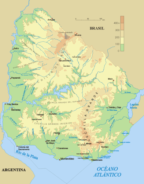
Español: Mapa físico de Uruguay.
English: Topographical map of Uruguay |
| Datum | |
| Bron | Eigen werk |
| Auteur | Jordevi |
| Andere versies |
|

Licentie
| Ik, de auteursrechthebbende van dit werk, geef dit werk vrij in het publieke domein. Dit is wereldwijd van toepassing. In sommige landen is dit wettelijk niet mogelijk; in die gevallen geldt: Ik sta iedereen toe dit werk voor eender welk doel te gebruiken, zonder enige voorwaarden, tenzij zulke voorwaarden door de wet worden voorgeschreven. |
Bestandsgeschiedenis
Klik op een datum/tijd om het bestand te zien zoals het destijds was.
| Datum/tijd | Miniatuur | Afmetingen | Gebruiker | Opmerking | |
|---|---|---|---|---|---|
| huidige versie | 28 dec 2006 05:48 | | 1.100 × 1.400 (209 kB) | Jordevi | Mapa físico de Uruguay. Category:Maps of Uruguay |
Bestandsgebruik
Dit bestand wordt op de volgende pagina gebruikt:
Globaal bestandsgebruik
De volgende andere wiki's gebruiken dit bestand:
- Gebruikt op an.wikipedia.org
- Gebruikt op arz.wikipedia.org
- Gebruikt op ast.wikipedia.org
- Gebruikt op bg.wikipedia.org
- Gebruikt op ca.wikipedia.org
- Gebruikt op ceb.wikipedia.org
- Gebruikt op cs.wikipedia.org
- Gebruikt op de.wikipedia.org
- Cuchilla de Haedo
- Cuchilla Grande
- Río Negro (Uruguay)
- Sierra Carapé
- Río Yí
- Río Tacuarembó
- Río Arapey
- Río Daymán
- Rio Quaraí
- Río Queguay
- Río Queguay Chico
- Río San Salvador
- Río Rosario
- Río Tacuarí
- Río San Juan (Uruguay)
- Río Cebollatí
- Río Arapey Chico
- Rio Jaguarão
- Río San José
- Sierra de las Ánimas
- Arroyo de la India
- Río Olimar
- Río Santa Lucía (Uruguay)
- Arroyo Grande (Río Negro, rechtsseitig)
- Benutzer:Gniesgnatz/baustelle
- Gebruikt op en.wikipedia.org
- Gebruikt op es.wikipedia.org
Globaal gebruik van dit bestand bekijken.