
Bestand:Victoria locator-MJC.png
Geen hogere resolutie beschikbaar.
Victoria_locator-MJC.png (563 × 476 pixels, bestandsgrootte: 12 kB, MIME-type: image/png)
| Dit is een bestand van Wikimedia Commons. Onderstaande beschrijving komt van de beschrijving van het bestand daar. |

|
Deze kaartafbeelding zou opnieuw moeten worden aangemaakt als een SVG-bestand door vectorafbeeldingen te gebruiken. Dit heeft een aantal voordelen; zie Commons:Media for cleanup voor meer informatie. Als er een SVG-formaat van deze afbeelding bestaat, dan deze graag uploaden. Nadat u dit heeft gedaan, gelieve dit sjabloon te vervangen door het sjabloon {{vector version available|nieuwe bestandsnaam.svg}} op deze afbeeldingspagina.
|
Beschrijving
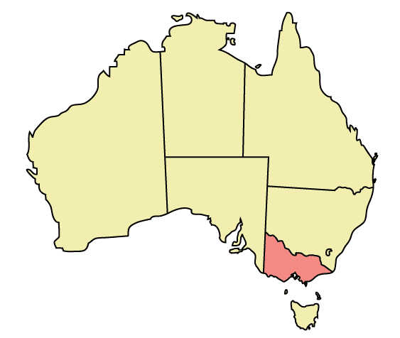
Map of Australia highlighting Victoria
Made in Adobe Illustrator by Martynam and released under the GFDL
Licentie
| Dit bestand is gelicenseerd onder de Creative Commons-licentie Naamsvermelding-Gelijk delen 3.0 Unported Onderhevig aan disclaimers. | ||
| ||
| Deze licentietag is toegevoegd aan dit bestand in verband met de GFDL licentie-update. |

|
Toestemming wordt verleend voor het kopiëren, verspreiden en/of wijzigen van dit document onder de voorwaarden van de GNU-licentie voor vrije documentatie, versie 1.2 of enige latere versie als gepubliceerd door de Free Software Foundation; zonder Invariant Sections, zonder Front-Cover Texts, en zonder Back-Cover Texts. Een kopie van de licentie is opgenomen in de sectie GNU-licentie voor vrije documentatie. Onderhevig aan disclaimers. |
Bestandsgeschiedenis
Klik op een datum/tijd om het bestand te zien zoals het destijds was.
| Datum/tijd | Miniatuur | Afmetingen | Gebruiker | Opmerking | |
|---|---|---|---|---|---|
| huidige versie | 31 dec 2005 00:49 | | 563 × 476 (12 kB) | Snowdog | Map of Australia highlighting Victoria Made in Adobe Illustrator by Martynam and released under the GFDL Category:Maps of Australia |
Bestandsgebruik
Dit bestand wordt op de volgende pagina gebruikt:
Globaal bestandsgebruik
De volgende andere wiki's gebruiken dit bestand:
- Gebruikt op af.wikipedia.org
- Gebruikt op ar.wikipedia.org
- Gebruikt op be.wikipedia.org
- Gebruikt op ckb.wikipedia.org
- Gebruikt op cs.wikipedia.org
- Gebruikt op cy.wikipedia.org
- Gebruikt op de.wikipedia.org
- Gebruikt op en.wikipedia.org
- City of Maroondah
- Hobsons Bay
- Paisley railway station, Melbourne
- Galvin railway station
- Williamstown Pier railway station
- Chum Creek, Victoria
- Don Valley, Victoria
- Gruyere, Victoria
- Kalorama, Victoria
- Launching Place, Victoria
- Macclesfield, Victoria
- Menzies Creek, Victoria
- Seville, Victoria
- Seville East, Victoria
- Sherbrooke, Victoria
- Tremont, Victoria
- Yellingbo, Victoria
- Cranbourne South, Victoria
- Narre Warren East, Victoria
- Warneet, Victoria
- Dandenong North, Victoria
- Dandenong South, Victoria
- Noble Park North, Victoria
- Skye, Victoria
- Blairgowrie, Victoria
- Boneo, Victoria
- Main Ridge, Victoria
- Merricks North, Victoria
- Red Hill, Victoria
- Red Hill South, Victoria
- Capel Sound, Victoria
- Simpson Barracks
- Yallambie
- Attwood, Victoria
- Coolaroo, Victoria
- Oaklands Junction, Victoria
- Somerton, Victoria
- Burnside, Victoria
- Hillside, Victoria
- Kurunjang
- Rockbank, Victoria
- Ardeer, Victoria
- Calder Park, Victoria
Globaal gebruik van dit bestand bekijken.