
Bestand:Ws-map.png
Geen hogere resolutie beschikbaar.
Ws-map.png (629 × 317 pixels, bestandsgrootte: 8 kB, MIME-type: image/png)
| Dit is een bestand van Wikimedia Commons. Onderstaande beschrijving komt van de beschrijving van het bestand daar. |
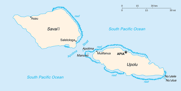
Italiano: Mappa delle Samoa

|
This map has been uploaded by Electionworld from en.wikipedia.org to enable the |
CIA map
Deze afbeelding bevindt zich in het publiek domein omdat het materiaal bevat dat oorspronkelijk afkomstig is van het CIA World Factbook.
|
 |
Bestandsgeschiedenis
Klik op een datum/tijd om het bestand te zien zoals het destijds was.
| Datum/tijd | Miniatuur | Afmetingen | Gebruiker | Opmerking | |
|---|---|---|---|---|---|
| huidige versie | 13 feb 2022 07:18 | | 629 × 317 (8 kB) | Lojwe | Cropped 1 % horizontally, 1 % vertically using CropTool with precise mode. |
| 29 nov 2006 01:20 |  | 633 × 321 (9 kB) | Electionworld | {{ew|en|Cantus}} CIA map {{PD-USGov-CIA-WF}} Category:Maps of Samoa |
Bestandsgebruik
Globaal bestandsgebruik
De volgende andere wiki's gebruiken dit bestand:
- Gebruikt op ast.wikipedia.org
- Gebruikt op es.wikipedia.org
- Gebruikt op fy.wikipedia.org
- Gebruikt op it.wikipedia.org
- Gebruikt op mt.wikipedia.org
- Gebruikt op ru.wikipedia.org
- Gebruikt op scn.wikipedia.org
- Gebruikt op ti.wikipedia.org
- Gebruikt op to.wikipedia.org