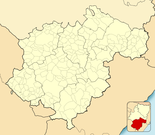
Bestand:Teruel-loc.svg
Uiterlijk

Afmetingen van deze voorvertoning van het type PNG van dit SVG-bestand: 512 × 444 pixels Andere resoluties: 277 × 240 pixels | 554 × 480 pixels | 886 × 768 pixels | 1.181 × 1.024 pixels | 2.362 × 2.048 pixels.
Oorspronkelijk bestand (SVG-bestand, nominaal 512 × 444 pixels, bestandsgrootte: 817 kB)
Bestandsgeschiedenis
Klik op een datum/tijd om het bestand te zien zoals het destijds was.
| Datum/tijd | Miniatuur | Afmetingen | Gebruiker | Opmerking | |
|---|---|---|---|---|---|
| huidige versie | 11 dec 2010 16:00 |  | 512 × 444 (817 kB) | Miguillen | quito defectos de línea |
| 8 dec 2010 18:53 |  | 512 × 444 (826 kB) | Miguillen | colores | |
| 16 nov 2010 15:45 |  | 512 × 444 (452 kB) | Miguillen | == {{int:filedesc}} == {{Information |Description={{en|Location map of Province of Teruel}} Equirectangular projection, N/S stretching 130 %. Geographic limits of the map: * N: ° N * S: ° N * W: ° O * E: ° O {{es|Mapa d |
Bestandsgebruik
Dit bestand wordt op de volgende pagina gebruikt:
Globaal bestandsgebruik
De volgende andere wiki's gebruiken dit bestand:
- Gebruikt op ba.wikipedia.org
- Gebruikt op eo.wikipedia.org
- Híjar
- Cella (Teruelo)
- Calanda
- Guadalaviar (Teruelo)
- Villar del Cobo
- Griegos
- Tramacastilla
- Torres de Albarracín
- Royuela
- Calomarde
- Frías de Albarracín
- Moscardón
- Terriente
- Toril y Masegoso
- Valdecuenca
- Saldón
- Bezas
- Rubiales
- Jabaloyas
- Gea de Albarracín
- Noguera de Albarracín
- Ŝablono:Situo sur mapo Hispanio Provinco Teruelo
- Bronchales
- Orihuela del Tremedal
- Monterde de Albarracín
- Pozondón
- Ródenas
- El Vallecillo
- Celadas
- Villarquemado
- Santa Eulalia del Campo
- Torremocha de Jiloca
- Torrelacárcel
- Alba (Teruelo)
- Almohaja
- Aguatón
- Argente
- Visiedo
- Camañas
- Lidón
- Cuevas Labradas
- Peralejos
- Alfambra
- Orrios
- Perales del Alfambra
- Fuentes Calientes
- Rillo
- Pancrudo
- Alpeñés
Globaal gebruik van dit bestand bekijken.
