
Bestand:Abkhazia summary map.png
Geen hogere resolutie beschikbaar.
Abkhazia_summary_map.png (250 × 185 pixels, bestandsgrootte: 26 kB, MIME-type: image/png)
| Dit is een bestand van Wikimedia Commons. Onderstaande beschrijving komt van de beschrijving van het bestand daar. |
Beschrijving
| Beschrijving |
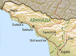
English: Summary map of Abkhazia as of 1999. |
| Datum | |
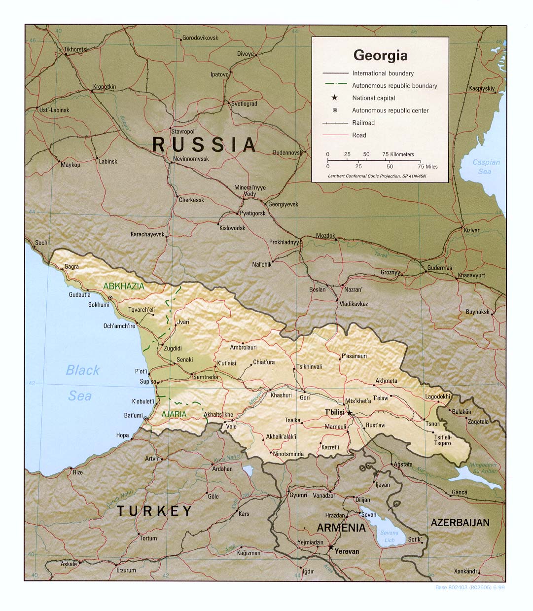
| Bron | Cropped version of Georgia (Shaded Relief) 1999 from Perry-Castañeda Library Map Collection: Republic of Georgia Maps |
| Auteur | U.S. Central Intelligence Agency |
| Toestemming (Hergebruik van dit bestand) |
Public domain |
Licentie
| This image is a work of a Central Intelligence Agency employee, taken or made as part of that person's official duties. As a Work of the United States Government, this image or media is in the public domain in the United States.
|

|
nl:Afbeelding:Abkhazia summary map.png
Bestandsgeschiedenis
Klik op een datum/tijd om het bestand te zien zoals het destijds was.
| Datum/tijd | Miniatuur | Afmetingen | Gebruiker | Opmerking | |
|---|---|---|---|---|---|
| huidige versie | 11 jan 2006 20:46 | | 250 × 185 (26 kB) | Maksim | La bildo estas kopiita de wikipedia:nl. La originala priskribo estas: Bron: en:Image:Abkhazia_summary_map.png {{PD}} categorie:Kaart {| border="1" ! date/time || username || edit summary |---- | 22 jun 2005 13:09 || [[:nl:Gebruiker:Michiel1972 |
Bestandsgebruik
Dit bestand wordt op de volgende pagina gebruikt:
Globaal bestandsgebruik
De volgende andere wiki's gebruiken dit bestand:
- Gebruikt op ca.wikipedia.org
- Gebruikt op cs.wikipedia.org
- Gebruikt op hu.wikipedia.org
- Gebruikt op it.wikipedia.org
- Gebruikt op pl.wikipedia.org
- Gebruikt op sv.wikipedia.org
- Gebruikt op uk.wikipedia.org