
Bestand:Kazakhstan adm location map.svg

Oorspronkelijk bestand (SVG-bestand, nominaal 1.984 × 1.134 pixels, bestandsgrootte: 562 kB)
| Dit is een bestand van Wikimedia Commons. Onderstaande beschrijving komt van de beschrijving van het bestand daar. |
Beschrijving
| Beschrijving |
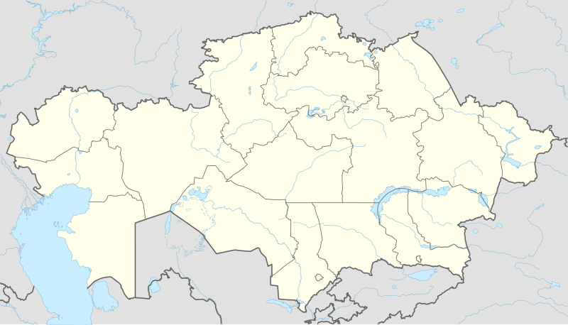
Deutsch: Positionskarte von Kasachstan
English: Location map of Kazakhstan
|
||||||||||||
| Datum | |||||||||||||
| Bron |
Own work using:
|
||||||||||||
| Auteur | NordNordWest | ||||||||||||
| Andere versies |
|
||||||||||||
_location_map.svg)

|
Deze kaart is gemaakt of verbeterd in de Duitse Kartenwerkstatt (Map Lab). Je kunt ook zelf kaarten ter verbetering voorstellen.
|
Licentie
Usage of this file with:

explanatory notes: Legally binding is only the full legalcode. For a free usage I recommend to respect the following licence conditions:
1. Provide my name as given above: NordNordWest,
2. a copy of, or the URI for, the applicable license: https://creativecommons.org/licenses/by-sa/3.0/de/legalcode,
3. the title of the work,
4. in the case of an adaptation, a credit identifying the use of the work in the adaptation.
This license and the rights granted hereunder will terminate automatically upon any breach by you of the terms of this license. Any of the above conditions can be waived if you get permission from the copyright holder. If you have questions or wish differing conditions, please contact me through nnwest or my discussion page ![]() t-online.de
t-online.de
- De gebruiker mag:
- Delen – het werk kopiëren, verspreiden en doorgeven
- Remixen – afgeleide werken maken
- Onder de volgende voorwaarden:
- naamsvermelding – U moet op een gepaste manier aan naamsvermelding doen, een link naar de licentie geven, en aangeven of er wijzigingen in het werk zijn aangebracht. U mag dit op elke redelijke manier doen, maar niet zodanig dat de indruk wordt gewekt dat de licentiegever instemt met uw werk of uw gebruik van zijn werk.
- Gelijk delen – Als u het werk heeft geremixt, veranderd, of erop heeft voortgebouwd, moet u het gewijzigde materiaal verspreiden onder dezelfde licentie als het oorspronkelijke werk, of een daarmee compatibele licentie.

Bestandsgeschiedenis
Klik op een datum/tijd om het bestand te zien zoals het destijds was.
| Datum/tijd | Miniatuur | Afmetingen | Gebruiker | Opmerking | |
|---|---|---|---|---|---|
| huidige versie | 4 okt 2022 16:16 | | 1.984 × 1.134 (562 kB) | NordNordWest | upd 2022 |
| 21 feb 2022 21:45 |  | 1.984 × 1.134 (554 kB) | NordNordWest | corr | |
| 25 jun 2018 23:41 |  | 1.984 × 1.134 (619 kB) | NordNordWest | corr | |
| 26 sep 2014 17:48 |  | 1.984 × 1.134 (618 kB) | NordNordWest | == {{int:filedesc}} == {{Information |Description= {{de|1=Positionskarte von Kasachstan}} {{en|1=Location map of Kazakhstan}} {{Location map series N |stretching=150 |top=56 |bottom=40 |left=46 |right=88 }} |Source={{Own using}} * United States Nationa... |
Bestandsgebruik
Dit bestand wordt op de volgende 78 pagina's gebruikt:
- Almaty
- Alğa (stad)
- Aqtau
- Aqtöbe
- Arkalyk
- Arıs (stad)
- Astana (stad)
- Atıraw
- Bajkonoer
- Balqash (stad)
- Centraal park voor cultuur en vrije tijd
- Centraalstadion (Aqtöbe)
- Dostyq
- Ekibastuz
- Elektriciteitscentrale GRES-2
- Fort-Şevçenko
- Internationale Luchthaven Noersoeltan Nazarbajev
- Jezqazğan
- Karaganda
- Karauılqeldı
- Kazhymukan Munaitpasovstadion (Astana)
- Kazhymukan Munaitpasovstadion (Şımkent)
- Kentaū
- Kosmodroom Bajkonoer
- Kökşetaw
- Luchthaven Almaty
- Luchthaven Aqtöbe
- Luchthaven Kökshetaū
- Luchthaven Şımkent
- Maikapşagai
- Mausoleum van Hodja Ahmed Yasavi
- Megalithische mausolea van de Begazy-Dandybajcultuur
- Oral
- Pavlodar
- Petropavl
- Premjer-Liga (Kazachstan) 1992
- Premjer-Liga (Kazachstan) 1993
- Premjer-Liga (Kazachstan) 1994
- Premjer-Liga (Kazachstan) 1995
- Premjer-Liga (Kazachstan) 1996
- Premjer-Liga (Kazachstan) 1997
- Premjer-Liga (Kazachstan) 1998
- Premjer-Liga (Kazachstan) 1999
- Premjer-Liga (Kazachstan) 2000
- Premjer-Liga (Kazachstan) 2001
- Premjer-Liga (Kazachstan) 2002
- Premjer-Liga (Kazachstan) 2003
- Premjer-Liga (Kazachstan) 2004
- Premjer-Liga (Kazachstan) 2005
- Premjer-Liga (Kazachstan) 2006
- Premjer-Liga (Kazachstan) 2007
- Premjer-Liga (Kazachstan) 2008
- Premjer-Liga (Kazachstan) 2009
- Premjer-Liga (Kazachstan) 2010
- Premjer-Liga (Kazachstan) 2011
- Premjer-Liga (Kazachstan) 2012
- Premjer-Liga (Kazachstan) 2013
- Qostanay
- Qızılorda
- Ridder (Kazachstan)
- Rūdnyy
- Saran (Kazachstan)
- Sayram
- Semey (Kazachstan)
- Sätbajev (stad)
- Taldıqorğan
- Tamgaly
- Taraz
- Televisietoren van Almaty
- Temirtaū
- Tengizveld
- Tjoeratam
- Türkistan
- Zaysan (stad)
- Zjanaozen
- Öskemen
- Şımkent
- Sjabloon:Positiekaart Kazachstan
Globaal bestandsgebruik
De volgende andere wiki's gebruiken dit bestand:
- Gebruikt op af.wikipedia.org
- Gebruikt op an.wikipedia.org
- Gebruikt op ar.wikipedia.org
- Gebruikt op ast.wikipedia.org
- Gebruikt op azb.wikipedia.org
- Gebruikt op az.wikipedia.org
Globaal gebruik van dit bestand bekijken.