
Bestand:Map of McLean County Illinois.png
Geen hogere resolutie beschikbaar.
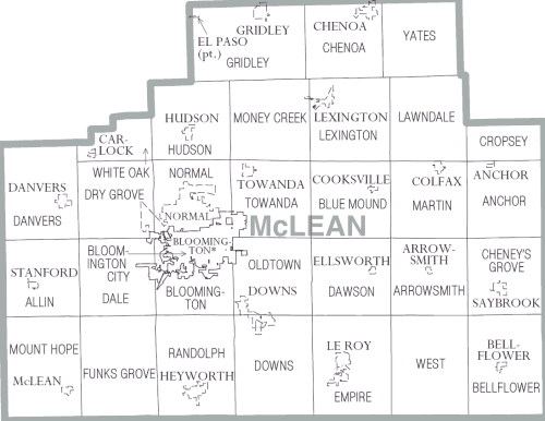
Map_of_McLean_County_Illinois.png (500 × 386 pixels, bestandsgrootte: 20 kB, MIME-type: image/png)
| Dit is een bestand van Wikimedia Commons. Onderstaande beschrijving komt van de beschrijving van het bestand daar. |
| Beschrijving | McLean County Illinois | |||
| Datum | ||||
| Bron | https://www.census.gov\/prod/cen2000/phc-1-15.pdf | |||
| Auteur | US Census Bureau, Cropped by uploader | |||
| Toestemming (Hergebruik van dit bestand) |
|

Bestandsgeschiedenis
Klik op een datum/tijd om het bestand te zien zoals het destijds was.
| Datum/tijd | Miniatuur | Afmetingen | Gebruiker | Opmerking | |
|---|---|---|---|---|---|
| huidige versie | 3 feb 2007 22:44 | | 500 × 386 (20 kB) | Dual Freq | {{Information |Description=McLean County Illinois |Source=http://www.census.gov/prod/cen2000/phc-1-15.pdf |Date=2000 |Author=US Census Bureau, Cropped by uploader |Permission={{PD-USGov-DOC-Census}} |other_versions= }} Category:Maps of Illinois |
Bestandsgebruik
Dit bestand wordt op de volgende pagina gebruikt:
Globaal bestandsgebruik
De volgende andere wiki's gebruiken dit bestand:
- Gebruikt op de.wikipedia.org
- Gebruikt op en.wikipedia.org
- Gebruikt op ja.wikipedia.org
- Gebruikt op pl.wikipedia.org