
Bestand:National Atlas of the USA 1970 - Pacific Outlying Areas.jpg

Grootte van deze voorvertoning: 800 × 544 pixels. Andere resoluties: 320 × 218 pixels | 640 × 435 pixels | 1.024 × 696 pixels | 1.280 × 871 pixels | 2.560 × 1.741 pixels | 4.170 × 2.836 pixels.
Oorspronkelijk bestand (4.170 × 2.836 pixels, bestandsgrootte: 2,04 MB, MIME-type: image/jpeg)
| Dit is een bestand van Wikimedia Commons. Onderstaande beschrijving komt van de beschrijving van het bestand daar. |
Beschrijving
| Beschrijving |
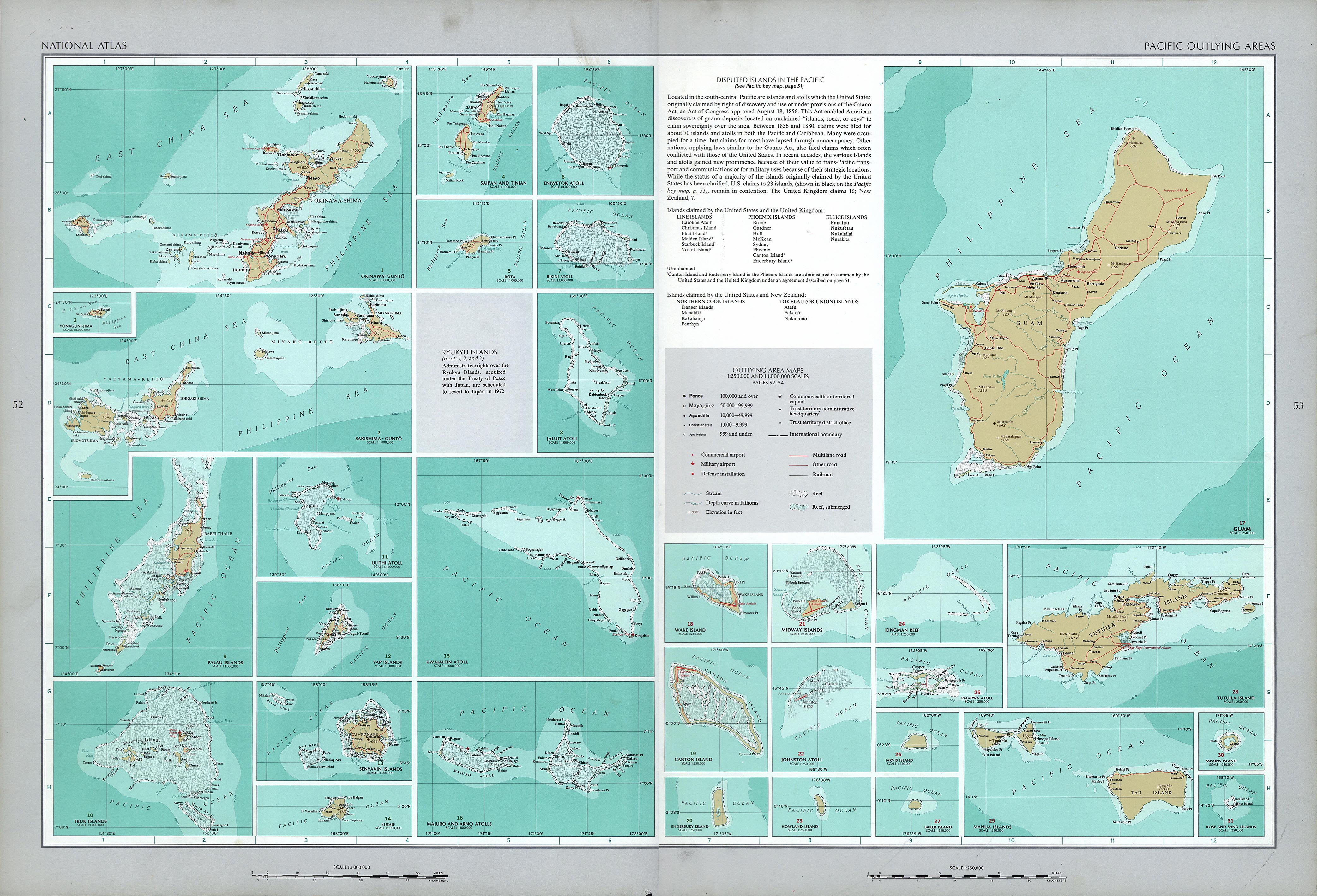
English: National Atlas of the United States, page "Pacific Outlying Areas", with map insets (all uploaded separately) |
| Datum | |
| Bron | https://www.lib.utexas.edu/maps/national_atlas_1970/ca000040.jpg |
| Auteur | United States Department of the Interior |
| Andere versies |
|


Licentie
| Dit werk komt uit de Library of Congress. Volgens de bibliotheek zijn er geen bekende auteursrechtelijke beperkingen op het gebruik van dit werk. |  |
Bestandsgeschiedenis
Klik op een datum/tijd om het bestand te zien zoals het destijds was.
| Datum/tijd | Miniatuur | Afmetingen | Gebruiker | Opmerking | |
|---|---|---|---|---|---|
| huidige versie | 17 okt 2016 15:16 | | 4.170 × 2.836 (2,04 MB) | Mauerquadrant | Reverted to version as of 19:25, 16 October 2016 (UTC) |
| 17 okt 2016 15:15 |  | 492 × 301 (84 kB) | Mauerquadrant | Cropped 6 % horizontally and 11 % vertically using CropTool with precise mode. | |
| 17 okt 2016 15:13 |  | 521 × 339 (93 kB) | Mauerquadrant | Cropped 88 % horizontally and 88 % vertically using CropTool with precise mode. | |
| 16 okt 2016 21:25 |  | 4.170 × 2.836 (2,04 MB) | Ratzer | User created page with UploadWizard |
Bestandsgebruik
Geen enkele pagina gebruikt dit bestand.
Globaal bestandsgebruik
De volgende andere wiki's gebruiken dit bestand:
- Gebruikt op de.wikipedia.org