
Bestand:Ramechhap district location.png
Geen hogere resolutie beschikbaar.
Ramechhap_district_location.png (800 × 550 pixels, bestandsgrootte: 30 kB, MIME-type: image/png)
| Dit is een bestand van Wikimedia Commons. Onderstaande beschrijving komt van de beschrijving van het bestand daar. |
| Beschrijving |
|
||||||||||
| Datum | |||||||||||
| Bron |
|
||||||||||
| Auteur | Hégésippe Cormier aka Hégésippe | ||||||||||
| Toestemming (Hergebruik van dit bestand) |
Dit bestand is gelicenseerd onder de Creative Commons-licentie Naamsvermelding-Gelijk delen 2.0 Frankrijk
 |

Bestandsgeschiedenis
Klik op een datum/tijd om het bestand te zien zoals het destijds was.
| Datum/tijd | Miniatuur | Afmetingen | Gebruiker | Opmerking | |
|---|---|---|---|---|---|
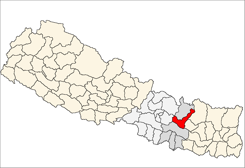
| huidige versie | 14 apr 2007 21:42 | | 800 × 550 (30 kB) | Hégésippe Cormier | {{Information |Description= <table cellpadding="4" style="border: 1px solid #ccc"> <tr><td>{{fr}}</td><td align="right">Carte de localisation du</td><td>'''district de Ramechhap'''</td><td>(wp-FR),</td><td>au '''[[w:fr:Népa |
Bestandsgebruik
Dit bestand wordt op de volgende pagina gebruikt:
Globaal bestandsgebruik
De volgende andere wiki's gebruiken dit bestand:
- Gebruikt op bh.wikipedia.org
- Gebruikt op bn.wikipedia.org
- Gebruikt op bpy.wikipedia.org
- Gebruikt op da.wikipedia.org
- Gebruikt op dty.wikipedia.org
- Gebruikt op en.wikipedia.org
- Gebruikt op fa.wikipedia.org
- Gebruikt op fi.wikipedia.org
- Gebruikt op hif.wikipedia.org
- Gebruikt op it.wikipedia.org
- Gebruikt op mai.wikipedia.org
- रामेछाप जिला
- कुबुकस्थली
- खनियापानी
- खाँडादेवी
- खिम्ती
- गुन्सी भदौरे
- हिलेदेवी
- गुप्तेश्वर, रामेछाप
- हिमगंगा
- गुम्देल
- सैपु
- गेलु
- गोठगाउँ
- गोश्वारा
- चनखु
- साँघुटार
- चुचुरे
- बाम्ती
- टोकरपुर
- ठोसे
- लखनपुर, रामेछाप
- तिल्पुंग
- रामपुर, रामेछाप
- राकाथुम
- रस्नालु
- माकादुम
- डडुवा
- मजुवा, रामेछाप
- भुजी
- दिमीपोखरी
- भीरपानी
- भदौरे, रामेछाप
- दुरागाउँ
- बेथान
- बेताली
- बिजुलीकोट
- फुलासी
- फर्पु
Globaal gebruik van dit bestand bekijken.